ATL: GABRIELLE - Models

Moderator: S2k Moderators

Message
Author
User avatar
ROCK
Category 5
Category 5
Posts: 9484
Age: 54
Joined: Tue Aug 17, 2004 7:30 am
Location: Kemah, Texas

Re: ATL: INVEST 97L - Models

#121 Postby ROCK » Mon Sep 02, 2013 11:00 am

sunnyday wrote:Is anyone buying the hurricane going into S Fl? :roll: :roll:


no...without a true center for models to initialize on these are all just for fun. The invest is moving WNW for now and I suspect it will keep moving that way until it deepens. These models want to take it NW right away.
0 likes   

User avatar
CalmBeforeStorm
Category 2
Category 2
Posts: 600
Age: 71
Joined: Tue Aug 10, 2004 7:55 pm
Location: Stuart, Florida

#122 Postby CalmBeforeStorm » Mon Sep 02, 2013 11:09 am

http://mag.ncep.noaa.gov/Image.php?fhr= ... imageSize=

The 12z GFS takes the vorticity over the eastern DR and forms a low over the western DR. Seems that a blocking ridge has formed at that point (120 hrs)
0 likes   
This is not an official forecast and I am not a professional met though I did stay at a Holiday Inn Express last night.

jlauderdal
S2K Supporter
S2K Supporter
Posts: 7182
Joined: Wed May 19, 2004 5:46 am
Location: NE Fort Lauderdale
Contact:

Re: ATL: INVEST 97L - Models

#123 Postby jlauderdal » Mon Sep 02, 2013 11:32 am

sunnyday wrote:Is anyone buying the hurricane going into S Fl? :roll: :roll:

no, wilma last hit..been hit many times since then by model storms..no worries until we are inside 72 hours on models and nhc tracks
0 likes   

Alyono
Professional-Met
Professional-Met
Posts: 6961
Joined: Fri Apr 26, 2013 3:52 pm
Location: Texas Coast

#124 Postby Alyono » Mon Sep 02, 2013 11:33 am

GFS has a weaker solution than previously. VERY broad low in the Bahamas

we may need to accept an 8-10 storm season if what is being talked about in some circles happens
0 likes   

User avatar
Portastorm
Storm2k Moderator
Storm2k Moderator
Posts: 9914
Age: 63
Joined: Fri Jul 11, 2003 9:16 am
Location: Round Rock, TX
Contact:

Re: ATL: INVEST 97L - Models

#125 Postby Portastorm » Mon Sep 02, 2013 11:41 am

ROCK wrote:
sunnyday wrote:Is anyone buying the hurricane going into S Fl? :roll: :roll:


no...without a true center for models to initialize on these are all just for fun. The invest is moving WNW for now and I suspect it will keep moving that way until it deepens. These models want to take it NW right away.


I'm totally on board with this idea. I like some of the thoughts out there that this may end up being a Caribbean Cruiser and potentially develop towards the Western Caribbean. The longer 97L struggles to develop vertically, the more prone its direction will be to lower level wind flow.
0 likes   
Any forecasts under my name are to be taken with a grain of salt. Get your best forecasts from the National Weather Service and National Hurricane Center.

User avatar
Hurricaneman
Category 5
Category 5
Posts: 7351
Age: 45
Joined: Tue Aug 31, 2004 3:24 pm
Location: central florida

Re:

#126 Postby Hurricaneman » Mon Sep 02, 2013 11:45 am

Alyono wrote:GFS has a weaker solution than previously. VERY broad low in the Bahamas

we may need to accept an 8-10 storm season if what is being talked about in some circles happens


Indeed we may have a no hurricane season which would be the first of the satellite era but looking at the intensity models we just have to give 97L some time as this is like a baby growing into a toddler right now and things are coming together but the 12zGFS does make me do a double take

The posts in this forum are NOT official forecast and should not be used as such. They are just the opinion of the poster and may or may not be backed by sound meteorological data. They are NOT endorsed by any professional institution or storm2k.org. For official information, please refer to the NHC and NWS products
0 likes   

User avatar
blp
Category 5
Category 5
Posts: 2840
Age: 46
Joined: Thu Sep 09, 2004 7:51 pm
Location: Miami, FL
Contact:

Re: ATL: INVEST 97L - Models

#127 Postby blp » Mon Sep 02, 2013 11:48 am

The 12z CMC closes off the vorticity around 54hrs over Puerto Rico. We need to keep track of this because the 00z had it closing off in 48hrs so the continued delay may change the runs. The 12z does look tighter though so I expect a strong system depicted by the CMC on this run.

http://www.tropicaltidbits.com/analysis/models/gem/2013090212/gem_z850_vort_atl_12.png
0 likes   
The following post is NOT an official forecast and should not be used as such. It is just the opinion of the poster and may or may not be backed by sound meteorological data. It is NOT endorsed by any professional institution including storm2k.org For Official Information please refer to the NHC and NWS products.

User avatar
perk
Category 3
Category 3
Posts: 825
Joined: Mon Aug 09, 2004 9:35 am
Location: Richmond Texas

Re: ATL: INVEST 97L - Models

#128 Postby perk » Mon Sep 02, 2013 11:58 am

Portastorm wrote:
ROCK wrote:
sunnyday wrote:Is anyone buying the hurricane going into S Fl? :roll: :roll:


no...without a true center for models to initialize on these are all just for fun. The invest is moving WNW for now and I suspect it will keep moving that way until it deepens. These models want to take it NW right away.


I'm totally on board with this idea. I like some of the thoughts out there that this may end up being a Caribbean Cruiser and potentially develop towards the Western Caribbean. The longer 97L struggles to develop vertically, the more prone its direction will be to lower level wind flow.


Portastorm even though one of our pro-mets is onboard with that NW turn,i'm not so sure that this might not be a GOM threat.
0 likes   

supercane4867
Category 5
Category 5
Posts: 4966
Joined: Wed Nov 14, 2012 10:43 am

Re: ATL: INVEST 97L - Models

#129 Postby supercane4867 » Mon Sep 02, 2013 12:27 pm

Let's play the "guess when CMC will drop the storm" game

Image
0 likes   

User avatar
pgoss11
Category 2
Category 2
Posts: 702
Joined: Tue Sep 02, 2003 3:55 pm

#130 Postby pgoss11 » Mon Sep 02, 2013 12:29 pm

:uarrow: Talk about a fantasy storm! :cheesy:
0 likes   

User avatar
ROCK
Category 5
Category 5
Posts: 9484
Age: 54
Joined: Tue Aug 17, 2004 7:30 am
Location: Kemah, Texas

Re: ATL: INVEST 97L - Models

#131 Postby ROCK » Mon Sep 02, 2013 12:47 pm

CMC deepens this too fast....but I do give it credit for sniffing out 97L before the other two big boys...
0 likes   

User avatar
Riptide
Category 2
Category 2
Posts: 753
Age: 34
Joined: Fri Jul 23, 2010 3:33 pm
Location: Cape May, New Jersey
Contact:

Re: ATL: INVEST 97L - Models

#132 Postby Riptide » Mon Sep 02, 2013 12:51 pm

Lol, this one is destined to develop in some form; peak of the season and good enough model support. Watch this one take off when it leaves the MDR.
0 likes   

User avatar
ROCK
Category 5
Category 5
Posts: 9484
Age: 54
Joined: Tue Aug 17, 2004 7:30 am
Location: Kemah, Texas

Re: ATL: INVEST 97L - Models

#133 Postby ROCK » Mon Sep 02, 2013 1:04 pm

these models will shift west thru out the day and possible tomorrow,IMO.... at least until it deepens. it is so far south now with ample ridging. Case in point the 12Z NAM

http://www.tropicaltidbits.com/analysis ... _watl.html

further south below the islands with plenty of ridging....and not developed as the CMC thinks...
0 likes   

User avatar
cycloneye
Admin
Admin
Posts: 145286
Age: 68
Joined: Thu Oct 10, 2002 10:54 am
Location: San Juan, Puerto Rico

Re: ATL: INVEST 97L - Models

#134 Postby cycloneye » Mon Sep 02, 2013 1:32 pm


TROPICAL CYCLONE GUIDANCE MESSAGE
NWS NATIONAL HURRICANE CENTER MIAMI FL
1808 UTC MON SEP 2 2013

DISCLAIMER...NUMERICAL MODELS ARE SUBJECT TO LARGE ERRORS.
PLEASE REFER TO NHC OFFICIAL FORECASTS FOR TROPICAL CYCLONE
AND SUBTROPICAL CYCLONE INFORMATION.

ATLANTIC OBJECTIVE AIDS FOR

DISTURBANCE INVEST (AL972013) 20130902 1800 UTC

...00 HRS... ...12 HRS... ...24 HRS... ...36 HRS...
130902 1800 130903 0600 130903 1800 130904 0600

LAT LON LAT LON LAT LON LAT LON
BAMS 14.3N 60.0W 14.6N 61.5W 15.3N 63.3W 16.0N 65.3W
BAMD 14.3N 60.0W 14.7N 61.7W 15.2N 63.5W 16.0N 65.5W
BAMM 14.3N 60.0W 14.6N 61.5W 15.1N 63.1W 15.7N 65.0W
LBAR 14.3N 60.0W 14.5N 61.3W 15.2N 63.0W 16.5N 65.0W
SHIP 25KTS 29KTS 37KTS 45KTS
DSHP 25KTS 29KTS 37KTS 45KTS

...48 HRS... ...72 HRS... ...96 HRS... ..120 HRS...
130904 1800 130905 1800 130906 1800 130907 1800

LAT LON LAT LON LAT LON LAT LON
BAMS 17.0N 67.7W 18.9N 72.3W 20.1N 76.3W 20.8N 79.6W
BAMD 17.0N 67.5W 18.9N 71.2W 20.7N 74.1W 22.1N 75.4W
BAMM 16.6N 67.1W 18.2N 71.0W 19.5N 74.5W 20.5N 77.2W
LBAR 18.2N 67.1W 21.5N 71.3W 24.5N 73.7W 27.7N 73.3W
SHIP 55KTS 70KTS 77KTS 79KTS
DSHP 55KTS 70KTS 57KTS 40KTS

...INITIAL CONDITIONS...
LATCUR = 14.3N LONCUR = 60.0W DIRCUR = 270DEG SPDCUR = 4KT
LATM12 = 14.3N LONM12 = 59.2W DIRM12 = 270DEG SPDM12 = 4KT
LATM24 = 14.3N LONM24 = 58.4W
WNDCUR = 25KT RMAXWD = 100NM WNDM12 = 25KT
CENPRS = 1009MB OUTPRS = 1012MB OUTRAD = 200NM SDEPTH = M
RD34NE = 0NM RD34SE = 0NM RD34SW = 0NM RD34NW = 0NM
0 likes   
Visit the Caribbean-Central America Weather Thread where you can find at first post web cams,radars
and observations from Caribbean basin members Click Here

User avatar
SFLcane
S2K Supporter
S2K Supporter
Posts: 10163
Age: 47
Joined: Sat Jun 05, 2010 1:44 pm
Location: Lake Worth Florida

Re: ATL: INVEST 97L - Models

#135 Postby SFLcane » Mon Sep 02, 2013 2:03 pm

18z models sharp recurve now out to sea.
0 likes   

User avatar
Blown Away
S2K Supporter
S2K Supporter
Posts: 10145
Joined: Wed May 26, 2004 6:17 am

Re: ATL: INVEST 97L - Models

#136 Postby Blown Away » Mon Sep 02, 2013 2:09 pm

Image

18z...Very sharp recurve for this time of year...Wonder if we will see a loop in future runs...
0 likes   
Hurricane Eye Experience: David 79, Irene 99, Frances 04, Jeanne 04, Wilma 05... EYE COMING MY WAY IN 2024…
Hurricane Brush Experience: Andrew 92, Erin 95, Floyd 99, Matthew 16, Irma 17, Ian 22, Nicole 22…

User avatar
NDG
S2K Supporter
S2K Supporter
Posts: 15446
Joined: Sun Jul 09, 2006 10:14 pm
Location: Orlando, FL

#137 Postby NDG » Mon Sep 02, 2013 2:14 pm

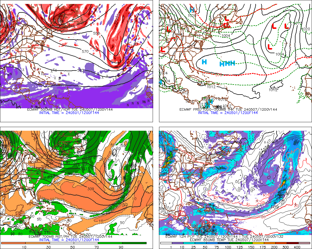
12z Euro continues with splitting the energy in two, on this run it shows the Caribbean energy a little stronger while the northern energy near] the Bahamas not as strong as last night's run.

Image
0 likes   

User avatar
Blown Away
S2K Supporter
S2K Supporter
Posts: 10145
Joined: Wed May 26, 2004 6:17 am

Re: ATL: INVEST 97L - Models

#138 Postby Blown Away » Mon Sep 02, 2013 2:14 pm

Bumped...
Last edited by Blown Away on Mon Sep 02, 2013 3:14 pm, edited 1 time in total.
0 likes   
Hurricane Eye Experience: David 79, Irene 99, Frances 04, Jeanne 04, Wilma 05... EYE COMING MY WAY IN 2024…
Hurricane Brush Experience: Andrew 92, Erin 95, Floyd 99, Matthew 16, Irma 17, Ian 22, Nicole 22…

TheStormExpert

#139 Postby TheStormExpert » Mon Sep 02, 2013 2:22 pm

:uarrow: The models are all garbage IMO until this mess finally develops, if it ever does.
0 likes   

Alyono
Professional-Met
Professional-Met
Posts: 6961
Joined: Fri Apr 26, 2013 3:52 pm
Location: Texas Coast

Re:

#140 Postby Alyono » Mon Sep 02, 2013 2:37 pm

TheStormExpert wrote::uarrow: The models are all garbage IMO until this mess finally develops, if it ever does.


and that is factually wrong
0 likes   


Return to “2013”

Who is online

Users browsing this forum: No registered users and 1 guest