 The posts in this forum are NOT official forecast and should not be used as such. They are just the opinion of the poster and may or may not be backed by sound meteorological data. They are NOT endorsed by any professional institution or


Portastorm wrote::uarrow:
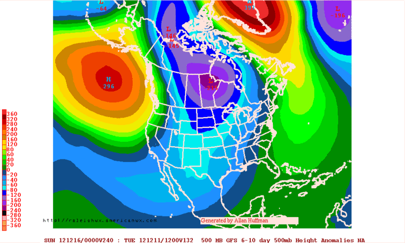
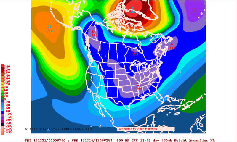
Uh ... actually, no. I'm not sure I understand what you're talking about. The GFS and Euro have consistently shown a Canadian front next week for Texas. The question of precipitation has been a item which has wavered some per the model guidance but the below normal temperatures for several days have not. Furthermore, many pro mets have suggested that next week ushers in a pattern change for the CONUS. They have indicated that the latter half of the month will be stormier and colder for much of the US.
Also, the models still suggest the possibility of snow for the Texas Panhandle early next week. I do not recall any models which showed snow for north Texas. And when I say "north Texas," I mean areas like Wichita Falls or Denton or Sherman or the DFW Metroplex. So again, not sure what you were looking at or why you're thinking there has been "flip flopping."
Portastorm, I'm not attacking your post, I'm attacking the GFS model. I have really been disappointed in it's reliability after day 5. The north Texas part that I mentioned was probably based on a forecaster that mentioned frozen precip from this coming early week situation when the models started hinting at this event.


