cycloneye wrote:Ntxw, do you think there will be a teleconnection from what may be left of soon to be Typhoon BOPHA at WPAC to send precipitation to Texas?
Typhoons become less of an indicator this time of season because polar westerlies have taken hold of the mid latitudes. Anything that forms in the WPAC recurves so it doesn't really tell much. Good food for thought though for anyone who knows more on the subject!
TeamPlayersBlue wrote:Based on the Nino chart with past historical ONI values, anyone else think this could be like 2006-07? Remember that winter was very warm in the first half, then was EXTREMELY cold the second half of winter. It started in January basically and we had some form of winter precip in East Texas where i was going to school three different times.
It isn't on the higher end, but a middle pack possibility I think. That was on the tail end of the warm PDO so SST's overall were much different. Also the 5h pattern that fall doesn't match too well with this year as of Sept-Nov.
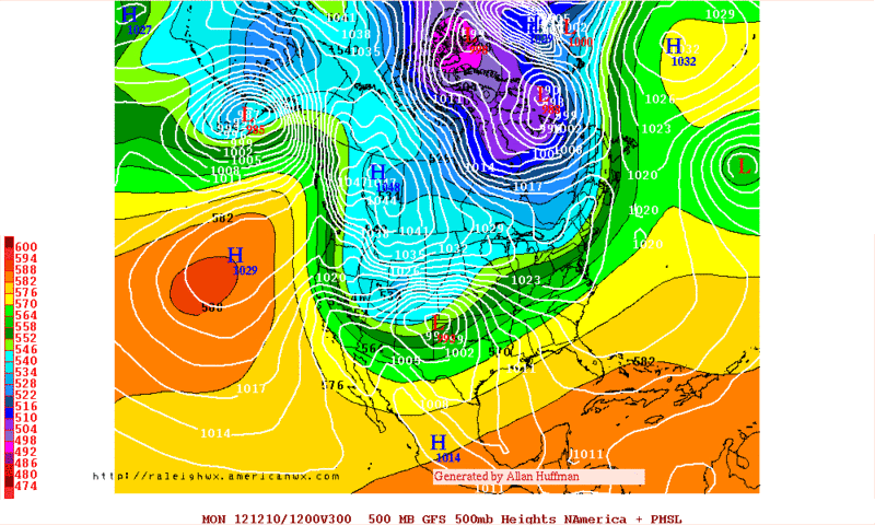
In terms of the weather pattern (Cool-neutral October to warm November) 2003, 2009 <- yes people forget the amazing winter that year was warm November until mid December, are the closest. 1976 is similar in the form of 500mb but at the surface it was much colder then. I haven't checked pre 1970s, but the early 50s is probably in there somewhere.
http://www.hpc.ncep.noaa.gov/ncepreanal/ -Good site to look at past weather patterns


