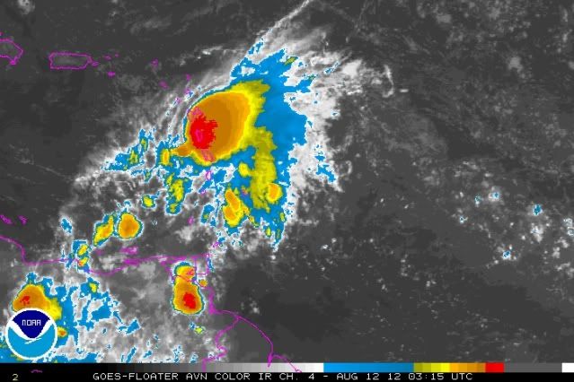
Gustywind wrote:11/1745 UTC 14.1N 59.1W T1.0/2.0 07L
did it go up ?
Moderator: S2k Moderators


floridasun78 wrote:Gustywind wrote:11/1745 UTC 14.1N 59.1W T1.0/2.0 07L
did it go up ?
floridasun78 wrote:how do ex td7 look to you all tonight?


you think will be ts stillCrazyC83 wrote:IMO, this is more likely to become Ileana than Gordon.


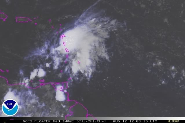
floridasun78 wrote:jinftl wrote:Le Raizet Airport, Guadeloupe is experiencing a very nasty squall right now...weather station date from about 10 minutes ago (as of this writing) shows ESE winds of 46 mph.
http://www.wunderground.com/weatherstat ... D=MBATFR16
so getting bad over islands?
Hurricaneman wrote:The thing that we need to watch is if the GFS shows the same scenerio in the next few runs, if not it was probably an anomolus run, but if it shows the same thing the next few runs we may have something that bears watching with the artist formally known as TD7
The posts in this forum are NOT official forecast and should not be used as such. They are just the opinion of the poster and may or may not be backed by sound meteorological data. They are NOT endorsed by any professional institution or storm2k.org. For official information, please refer to the NHC and NWS products


Users browsing this forum: No registered users and 70 guests

