WPAC: INVEST 95W
Moderator: S2k Moderators
-
StormingB81

- S2K Supporter

- Posts: 5676
- Age: 44
- Joined: Thu Aug 27, 2009 1:45 am
- Location: Rockledge, Florida
WPAC: INVEST 95W
Located at 5N and 148E. I would put a photo up but I have the red "X" I am guessing it is my wonderful internet out here!
0 likes
-
cycloneye

- Admin

- Posts: 149810
- Age: 69
- Joined: Thu Oct 10, 2002 10:54 am
- Location: San Juan, Puerto Rico
Re: WPAC: Invest 95w
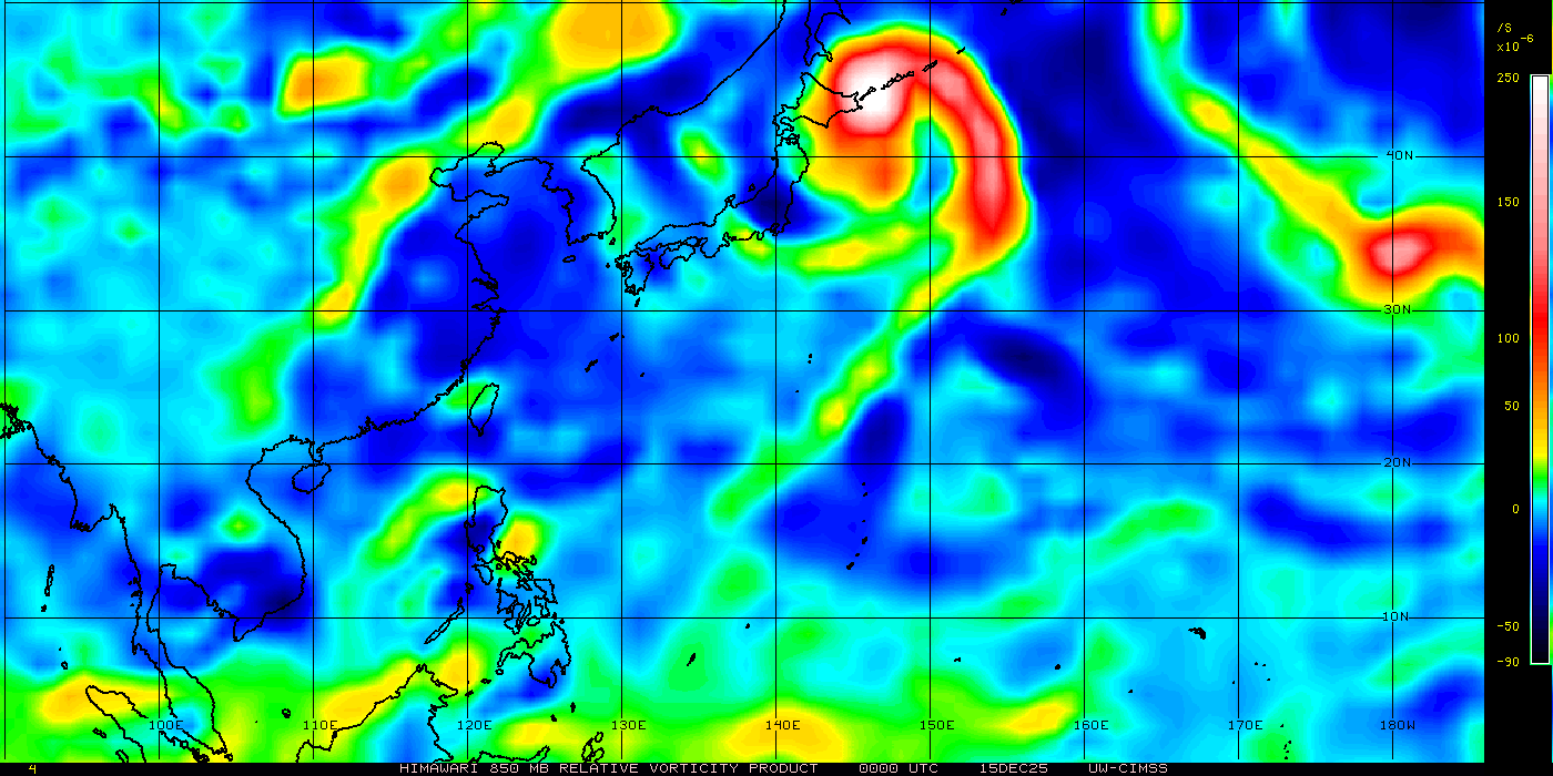
Image here.

0 likes
Visit the Caribbean-Central America Weather Thread where you can find at first post web cams,radars
and observations from Caribbean basin members Click Here
and observations from Caribbean basin members Click Here
-
StormingB81
- S2K Supporter
- Posts: 5676
- Age: 44
- Joined: Thu Aug 27, 2009 1:45 am
- Location: Rockledge, Florida

-
RobWESTPACWX
- WestPACMet

- Posts: 1616
- Joined: Fri Sep 17, 2010 2:26 am
- Location: Tokyo, Japan
- Contact:


-
euro6208
Re: WPAC: INVEST 95W

THE AREA OF CONVECTION PREVIOUSLY LOCATED NEAR 4.2N
146.6E, IS NOW LOCATED NEAR 3.2N 146.5E, APPROXIMATELY 625 NM
SOUTHEAST OF YAP. ANIMATED INFRARED SATELLITE IMAGERY SHOWS A
DEVELOPING LOW LEVEL CIRCULATION CENTER (LLCC) ASSOCIATED WITH
MINIMAL DEEP CONVECTION. A 202309Z ASCAT PASS DEPICTS A WELL-DEFINED
LLCC WITH 15 TO 20 KNOT EAST-NORTHEASTERLY FLOW ALONG THE NORTHERN
PERIPHERY AND WEAK CENTRAL WINDS. UPPER LEVEL ANALYSIS INDICATES THE
SYSTEM IS LOCATED SOUTH OF THE SUBTROPICAL RIDGE AXIS IN AN AREA OF
MODERATE UPPER LEVEL DIVERGENCE AND 15 TO 20 KNOTS OF VERTICAL WIND
SHEAR. MAXIMUM SUSTAINED SURFACE WINDS ARE ESTIMATED AT 10 TO 15
KNOTS. MINIMUM SEA LEVEL PRESSURE IS ESTIMATED TO BE NEAR 1007 MB.
THE POTENTIAL FOR THE DEVELOPMENT OF A SIGNIFICANT TROPICAL CYCLONE
WITHIN THE NEXT 24 HOURS REMAINS LOW.
0 likes
-
euro6208
Re: WPAC: INVEST 95W
THE AREA OF CONVECTION PREVIOUSLY LOCATED NEAR 3.2N
146.5E, IS NOW LOCATED NEAR 3.2N 143.8E, APPROXIMATELY 500 NM
SOUTHEAST OF YAP. ANIMATED MULTISPECTRAL SATELLITE IMAGERY SHOWS
CONVECTION STRUGGLING TO ORGANIZE AROUND THE LOW-LEVEL CIRCULATION
CENTER (LLCC). A 212352Z SSMIS IMAGES REVEALS AN ABUNDANCE OF
DISORGANIZED LOW-LEVEL BANDING, PARTICULARLY OVER THE NORTHEAST
QUADRANT. THE 220000Z PGTW UPPER LEVEL STREAMLINE ANALYSIS DEPICTS
THE LLCC WELL SOUTH OF THE SUBTROPICAL RIDGE AXIS UNDER
APPROXIMATELY 20 KNOTS OF VERTICAL WIND SHEAR. POLEWARD MOVEMENT
WOULD BRING THE SYSTEM UNDER A REGION OF LOWER VERTICAL WIND SHEAR,
BUT EARLY INDICATIONS ARE THAT THE LLCC IS TRACKING DUE WEST ALONG
THE SOUTHERN PERIPHERY OF THE SUBTROPICAL RIDGE. MAXIMUM SUSTAINED
SURFACE WINDS ARE ESTIMATED AT 10 TO 15 KNOTS. MINIMUM SEA LEVEL
PRESSURE IS ESTIMATED TO BE NEAR 1008 MB. THE POTENTIAL FOR THE
DEVELOPMENT OF A SIGNIFICANT TROPICAL CYCLONE WITHIN THE NEXT 24
HOURS REMAINS LOW.
0 likes
-
dexterlabio
- Category 5

- Posts: 3520
- Joined: Sat Oct 24, 2009 11:50 pm
Re: WPAC: INVEST 95W
I guess the one hinted by ECM to develop into a at least TS in SCS is this one. If it will cross PI and manage to survive, it can get itself together. And if I'm not mistaken ECM is hinting 2 closed low pressure systems now. I know it's long range but when models do hint something and get quite consistent it just sets the mood on action, I guess I will start to monitor the basin next week. Too early for this season.
0 likes
Personal Forecast Disclaimer:
The posts in this forum are NOT official forecast and should not be used as such. They are just the opinion of the poster and may or may not be backed by sound meteorological data. They are NOT endorsed by any professional institution or storm2k.org. For official information, please refer to the NHC and NWS products.
The posts in this forum are NOT official forecast and should not be used as such. They are just the opinion of the poster and may or may not be backed by sound meteorological data. They are NOT endorsed by any professional institution or storm2k.org. For official information, please refer to the NHC and NWS products.

Who is online
Users browsing this forum: No registered users and 41 guests