RL3AO wrote:GTStorm wrote:so the BAM suite at 0Z....are they hinting at a more westerly movement towards central / south-central Florida, before the big swing to the right, that the dynamic models might pick up on?
BAMs

I'll take that as a "no"
Moderator: S2k Moderators
RL3AO wrote:GTStorm wrote:so the BAM suite at 0Z....are they hinting at a more westerly movement towards central / south-central Florida, before the big swing to the right, that the dynamic models might pick up on?
BAMs


tailgater wrote:Yesterdays 24 forecast postion was 21.1N 72.4W last VDM postion 21.05N 71.93W, not enough to get excited about yet but if this continues it could be a major issue IMHO.
Update NHC coords. 21.3N 72.4W


CronkPSU wrote:we have more G-IV info in this?


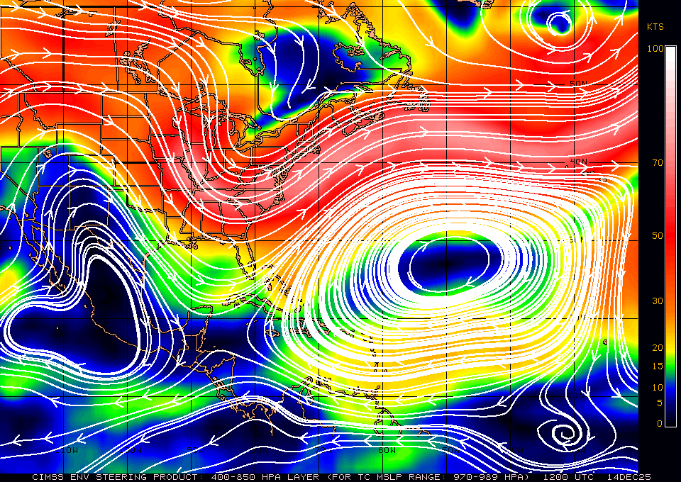
TreasureIslandFLGal wrote:ummmm, that looks like the ridge is building back in. or maybe I'm looking at that wrong? isn't a 1012mb high the "line" that storms don't go through usually? less than that they can push along through a bit, but isn't 1012 something that they can't usually pass through? Or is it at 1014 or 1016?
TreasureIslandFLGal wrote:ummmm, that looks like the ridge is building back in. or maybe I'm looking at that wrong? isn't a 1012mb high the "line" that storms don't go through usually? less than that they can push along through a bit, but isn't 1012 something that they can't usually pass through? Or is it at 1014 or 1016?


cpdaman wrote:i believe it was forecast to build in...granted i think we see a bit more w motion tonite than forecast
but i think a key will be heights in the NE / great lakes thursday and any changes to the depth of the trough digging ....and the associated height changes (IF any) just S of carolina's on thursday ...flatter trough...higher heights could be more carolina threat..and a tough furhter west track
Users browsing this forum: No registered users and 12 guests


