ClarkEligue wrote:
can you guys just tell me this is what I think this is?
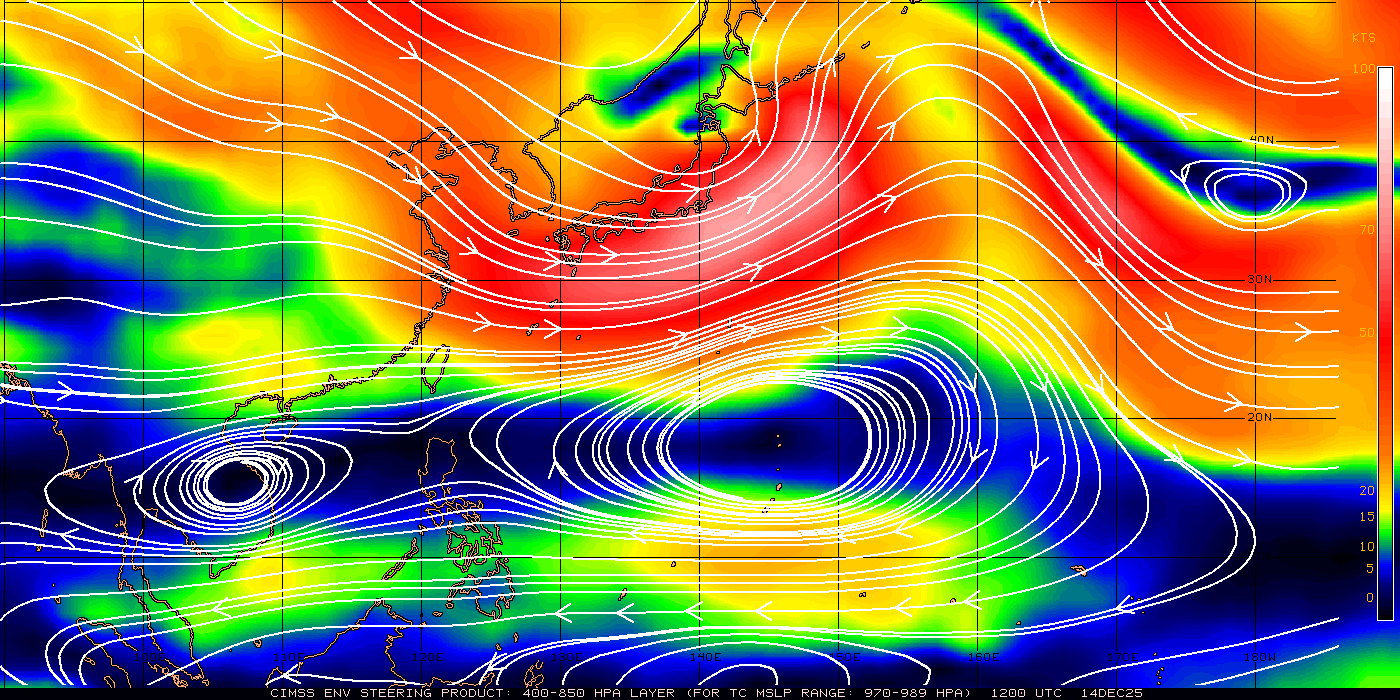
Is that high expected to move? If so, which way?
Moderator: S2k Moderators


ClarkEligue wrote:
can you guys just tell me this is what I think this is?


euro6208 wrote:1 minute winds increased by 25 knots to 85 knots according to nrlmry but that is not enough. its sad to think that muifa is probrably at her first peak and jtwc is playing catch-up with this storm. i would place the intensity at 115 knots category 4 winds.
phwxenthusiast wrote:euro6208 wrote:1 minute winds increased by 25 knots to 85 knots according to nrlmry but that is not enough. its sad to think that muifa is probrably at her first peak and jtwc is playing catch-up with this storm. i would place the intensity at 115 knots category 4 winds.
no offense, but i think you're overestimating the winds a little bit... not even the ADT, which is usually aggressive, is showing those kinds of numbers... it's just a Cat 2/Cat 3 imho... but amazing RI indeed!!
euro6208 wrote:phwxenthusiast wrote:euro6208 wrote:1 minute winds increased by 25 knots to 85 knots according to nrlmry but that is not enough. its sad to think that muifa is probrably at her first peak and jtwc is playing catch-up with this storm. i would place the intensity at 115 knots category 4 winds.
no offense, but i think you're overestimating the winds a little bit... not even the ADT, which is usually aggressive, is showing those kinds of numbers... it's just a Cat 2/Cat 3 imho... but amazing RI indeed!!
dvorak estimates are useless when it comes to pinhole eyes. would you believe them even though your eyes are telling you this is a much stronger system? i wouldn't
at muifa's first peak, i believe she peak at 145 knots 1 minute sustained
i would place the intensity of muifa right now at 130 knots- A Super Typhoon...
and should start to lose her small eye
Personal Forecast Disclaimer:
The posts in this forum are NOT official forecast and should not be used as such. They are just the opinion of the poster and may or may not be backed by sound meteorological data. They are NOT endorsed by any professional institution or storm2k.org. For official information, please refer to the PAGASA, JMA, and JTWC products.

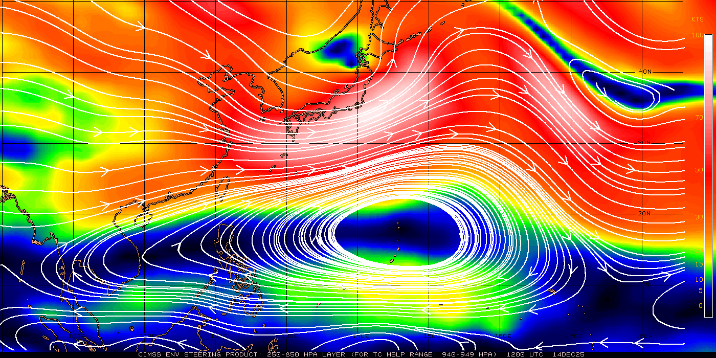
ClarkEligue wrote:
can you guys just tell me this is what I think this is?

ClarkEligue wrote:Its starting that Westerly stepladder Jog again.
StormingB81 wrote:ClarkEligue wrote:Its starting that Westerly stepladder Jog again.
I still see NNW...

Users browsing this forum: No registered users and 15 guests

