
http://www.nhc.noaa.gov/gtwo_atl.shtml
Doesn't look like much...
10% E.GOM - (Is invest 96L)
Moderator: S2k Moderators
Forum rules

The posts in this forum are NOT official forecasts and should not be used as such. They are just the opinion of the poster and may or may not be backed by sound meteorological data. They are NOT endorsed by any professional institution or STORM2K. For official information, please refer to products from the National Hurricane Center and National Weather Service.
10% E.GOM - (Is invest 96L)
0 likes


Re: 10% E.GOM
TexasF6 wrote:http://www.nhc.noaa.gov/gtwo_atl.shtml
Doesn't look like much...
Isn't there too much sheer from the ULL already in the GOM for this system to develop into anything?
0 likes
-
stormreader
Re: 10% E.GOM
True, it doesn't look like much. But I've seen seasons where even after a tropical event in June (which we just had) the tropics will go dead quiet for weeks. This doesn't seem to be the case. And with the forecast calling for an above average season, I just have a feeling that we may be on the verge of the tropics really beginning to pop (sooner rather than later). Very unscientific I know, but the Carribean has had a lot of convection for this time of year, and waves have been a little more distinct for this early in the season too (in my opinion). Unscientific, but I think we may be getting close.
0 likes

-
SouthFloridawx

- S2K Supporter

- Posts: 8346
- Age: 47
- Joined: Tue Jul 26, 2005 1:16 am
- Location: Sarasota, FL
- Contact:


Re: 10% E.GOM
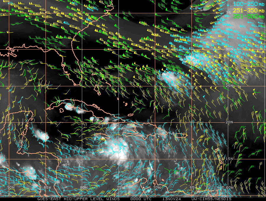
Looks like weak low pressure is forming off the western tip of Cuba. Wind shear looks fairly stout due to the ULL south of La that seems to be slowly retrograding W-NW. 12Z CMC, ECM, NOGAPs, and NAM all show some sort of weak low pressure moving N-NE in the EGOM. Probably nothing to come of it due to the wind shear but something to watch. May be a big rain maker for the FL peninsula over the next 48-72 hrs.
http://www.ssd.noaa.gov/goes/east/gmex/loop-vis.html
http://www.ssd.noaa.gov/goes/east/gmex/loop-vis.html
0 likes
Re: 10% E.GOM
I know that Florida can certainly use the rain - may they get it without any flooding situations.
0 likes
Re: 10% E.GOM
It's had that feel around here the last few days.
The wave is in the Gulf but shear appears to be keeping it down.
The wave is in the Gulf but shear appears to be keeping it down.
0 likes
-
MGC

- S2K Supporter
- Posts: 5941
- Joined: Sun Mar 23, 2003 9:05 pm
- Location: Pass Christian MS, or what is left.
Re: 10% E.GOM
All I see are outflow boundaries...no circulation. Would be nice to see that area of rain drift up in my direction and give me some rain in the Pass Christian Desert....MGC
0 likes
-
HurricaneBrain

- S2K Supporter
- Posts: 520
- Joined: Thu Jun 30, 2011 2:07 pm

Re: 10% E.GOM
A lot of shear out there from the ULL....but it does look interesting on radar. MGC said it outflow boundaries all ove the place..bouncing into each other...
0 likes
-
flwxwatcher
- Category 4

- Posts: 926
- Joined: Wed May 16, 2007 3:35 pm
- Location: Central Florida
Re: 10% E.GOM
ronjon wrote:Looks like weak low pressure is forming off the western tip of Cuba. Wind shear looks fairly stout due to the ULL south of La that seems to be slowly retrograding W-NW. 12Z CMC, ECM, NOGAPs, and NAM all show some sort of weak low pressure moving N-NE in the EGOM. Probably nothing to come of it due to the wind shear but something to watch. May be a big rain maker for the FL peninsula over the next 48-72 hrs.
http://www.ssd.noaa.gov/goes/east/gmex/loop-vis.html
Yes, following the 850 Vorticity on the EURO ,you can see it bringing it into the NE Gulf. Like you said, right now shear is high but it looks like according to the GFS it starts relaxing in about 48 hours. Agreed ,probably nothing more then some much needed rain for Florida but I remember Tropical Storm Claudette in 2009 formed in the NE Gulf and was a surprise system with no model support. ( one can dream)
http://raleighwx.americanwx.com/models/ecmwf.html
0 likes
-
micktooth

- S2K Supporter
- Posts: 391
- Joined: Mon Jul 11, 2005 3:47 pm
- Location: PreK:New Orleans,PostK:Colorado
Re: 10% E.GOM
I have a family reunion in Destin next week. When do you think this wave will impact the Fl panhandle?
0 likes
-
cycloneye

- Admin

- Posts: 149777
- Age: 69
- Joined: Thu Oct 10, 2002 10:54 am
- Location: San Juan, Puerto Rico
Re: 10% E.GOM
TROPICAL WEATHER OUTLOOK
NWS NATIONAL HURRICANE CENTER MIAMI FL
800 PM EDT WED JUL 6 2011
FOR THE NORTH ATLANTIC...CARIBBEAN SEA AND THE GULF OF MEXICO...
A TROPICAL WAVE AND SURFACE TROUGH INTERACTING WITH AN UPPER-
LEVEL LOW ARE PRODUCING A LARGE AREA OF DISORGANIZED SHOWERS AND
THUNDERSTORMS OVER THE SOUTHEASTERN GULF OF MEXICO...SOUTHERN
FLORIDA...CUBA AND THE BAHAMAS. THIS SYSTEM IS EXPECTED TO DRIFT
NORTHWARD OR NORTHWESTWARD WITH NO SIGNIFICANT DEVELOPMENT OVER THE
NEXT COUPLE OF DAYS. THERE IS A LOW CHANCE...10 PERCENT...OF THIS
SYSTEM BECOMING A TROPICAL CYCLONE DURING THE NEXT 48 HOURS.
ELSEWHERE...TROPICAL CYCLONE FORMATION IS NOT EXPECTED DURING THE
NEXT 48 HOURS.
$$
FORECASTER BRENNAN
0 likes
Visit the Caribbean-Central America Weather Thread where you can find at first post web cams,radars
and observations from Caribbean basin members Click Here
and observations from Caribbean basin members Click Here


Re: 10% E.GOM
Yeah it sure looks like it's trying to get it's act together this morning But that ULL has shifted even father east(closer) to this wantabe.
http://weather.hawaii.edu/satellite/sat ... type=flash
http://weather.hawaii.edu/satellite/sat ... type=flash
0 likes
The following post is NOT an official forecast and should not be used as such. It is just the opinion of the poster and may or may not be backed by sound meteorological data. It is NOT endorsed by any professional institution including storm2k.org For Official Information please refer to the NHC and NWS products.
Re: 10% E.GOM
The 00Z CMC goes crazy with a 1004 mb low heading for the FL big bend region. Much weaker low development with GFS. 00Z Euro has a sub1010 mb low heading for the FL panhandle. Throw in the NAM and NOGAPs too for low development. Pretty good consensus on low pressure devlopment - Have to see how strong it can get with the wind shear. The ULL is forecast to retrograde SW but so far has not moved much from yesterday.
CMC
Euro
According to the GFS, this thing has a shot at developing if it stays closer to the west coast of FL. Wind shear drops to the 10-20 kts and is from the south - same general motion as the low pressure movement - so relative shear may be 5-10 kts less. This maybe why the CMC bombs it - as it stays close to the west coast.
0 likes
-
Dean4Storms
- S2K Supporter
- Posts: 6358
- Age: 63
- Joined: Sun Aug 31, 2003 1:01 pm
- Location: Miramar Bch. FL
Re: 10% E.GOM
Pressure slowly falling at bouys in SE GOM. Winds now S-SW at Pulaski shoal west of Key West.
http://www.ndbc.noaa.gov/station_page.php?station=PLSF1
http://www.ndbc.noaa.gov/show_plot.php?station=42003&meas=wdpr&uom=E&time_diff=-5&time_label=CDT
http://www.ndbc.noaa.gov/station_page.php?station=PLSF1
http://www.ndbc.noaa.gov/show_plot.php?station=42003&meas=wdpr&uom=E&time_diff=-5&time_label=CDT
0 likes
Who is online
Users browsing this forum: Google [Bot] and 403 guests