

http://www.nhc.noaa.gov/pastprofile.shtml
Moderator: S2k Moderators


PauleinHouston wrote:Morning to all.
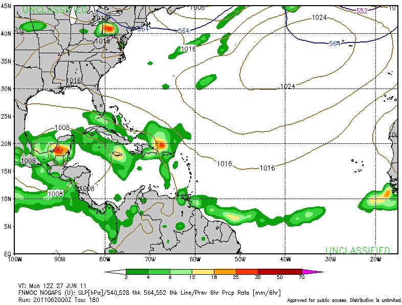
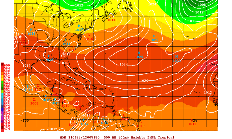
Have been watching the various gulf images/loops this morning and mslp/pw values. To my highly untrained eye, there appears a circulation just West of Yucatan in BOC.
http://www.ssd.noaa.gov/goes/east/gmex/flash-vis.html
With the ridge over SE Texas starting to lift NE, moisture surge is (edit "hopefuly") coming and I hope some very much needed rain. My local station in League City (half way between Houston and Galveston) has recorded a grand total of .10" of rain since March 14th. This gives new meaning to dry!


 my Cowboys my Rockets my Astros


RachelAnna wrote:An upper Texas/Louisiana disturbance would be a blessing, but I am not 100% sold on that outcome as of yet. Hoping for it, but hoping a little reverse psychology will attract it to the Houston area!
southerngale wrote:Drought buster? It's gonna take a LOT of rain to bust this drought!
65% of Texas is in the worst category and 89% is in the worst 2 categories.
http://i56.tinypic.com/2re3wop.png
U.S. Drought Monitor
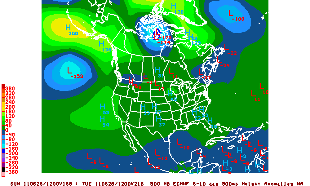
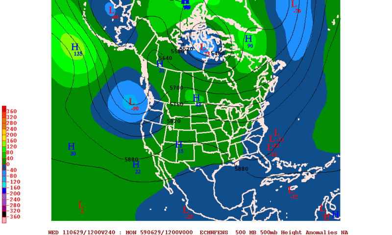
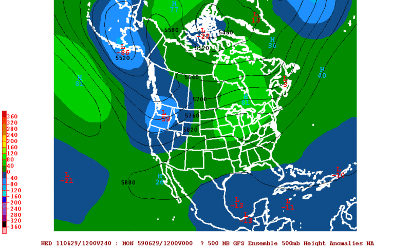
jinftl wrote:Climatology isn't really on the side of development - granted, if we are going to see developement this time of year, it will be in the Gulf...but from 1851-2009, development from June 21 through 30 has been anemic:
http://img21.imageshack.us/img21/474/62130nhc.png
http://www.nhc.noaa.gov/pastprofile.shtml
ROCK wrote:I dont care what it is rain,T-storm,TD or even fog.....we need some moisture here in SE Texas. Already water rationing in effect with no measurable rain fall for what 150+ days....that my friends is insane...my grass has turned to hay...my pool loses about 2 inches of water a day. Hell my pool is running about 92F during the day...it is horrible....
Ivan- have you seen the NAM?


Users browsing this forum: No registered users and 240 guests

