If the GFS is correct ( we have seen this before) Things are about to heat up. It looks like this time things are coming together for storms to get going and strengthen. Wxman57, I hope you enjoyed your day off, it may be awhile before your next one:):)
http://www.nco.ncep.noaa.gov/pmb/nwprod ... /fpc.shtml
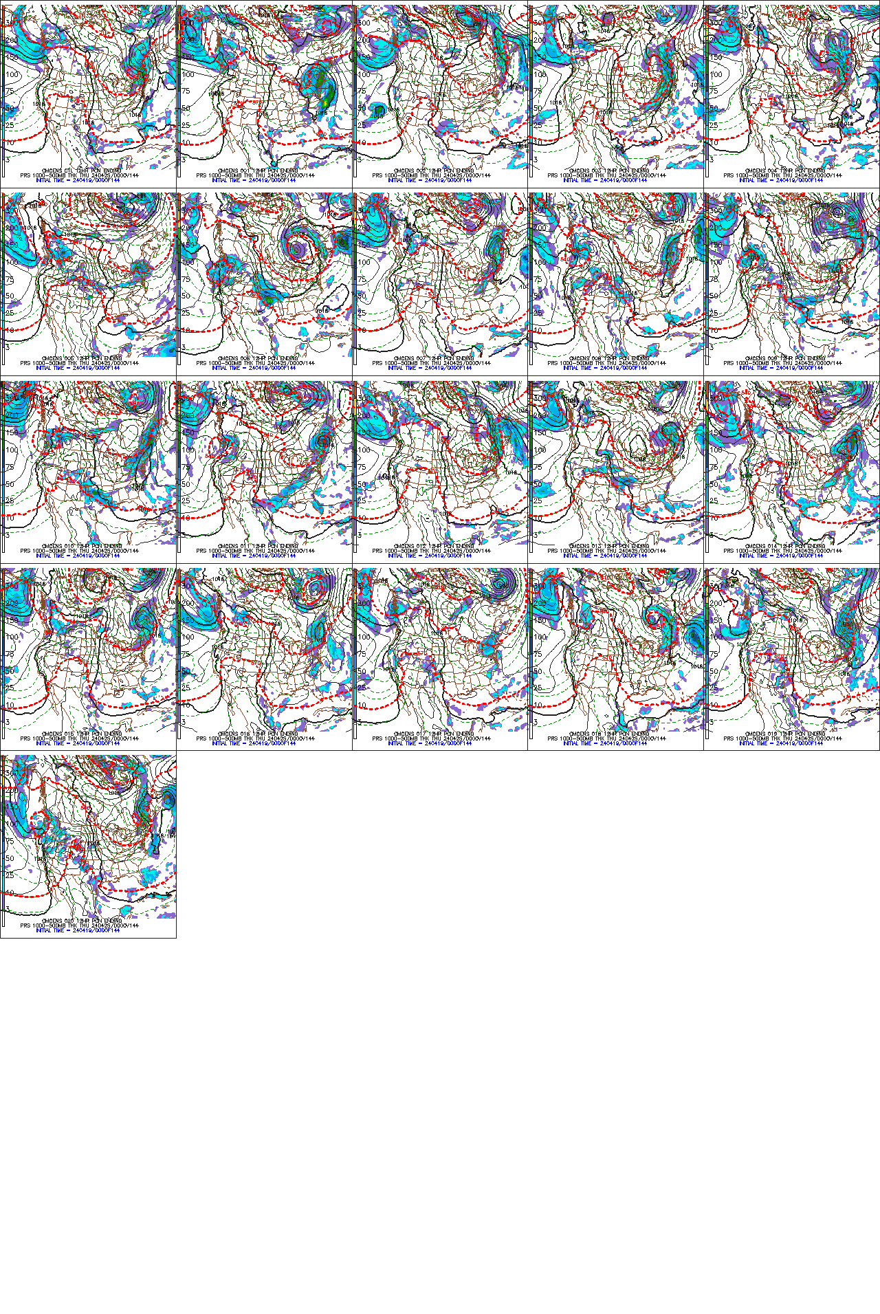
GFS is saying game on
Moderator: S2k Moderators
Forum rules

The posts in this forum are NOT official forecasts and should not be used as such. They are just the opinion of the poster and may or may not be backed by sound meteorological data. They are NOT endorsed by any professional institution or STORM2K. For official information, please refer to products from the National Hurricane Center and National Weather Service.
-
ameriwx2003

- Category 4

- Posts: 980
- Joined: Tue Jul 22, 2003 10:45 am
GFS is saying game on
0 likes
-
Stormsfury

- Category 5

- Posts: 10549
- Age: 53
- Joined: Wed Feb 05, 2003 6:27 pm
- Location: Summerville, SC
-
ameriwx2003
- Category 4
- Posts: 980
- Joined: Tue Jul 22, 2003 10:45 am
-
Stormsfury
- Category 5
- Posts: 10549
- Age: 53
- Joined: Wed Feb 05, 2003 6:27 pm
- Location: Summerville, SC
-
Stormsfury
- Category 5
- Posts: 10549
- Age: 53
- Joined: Wed Feb 05, 2003 6:27 pm
- Location: Summerville, SC
OtherHD wrote:Didn't the GFS say this LAST week???
Yep, and the week before in the MR/LR ... just like in the winter when it advertises cold air, it usually takes a couple of weeks before it finally happens...IMO, it's a persistence thing with the Good for S... Model.
FWIW, all the globals are picking up on the African Wave ... not just the GFS.
SF
0 likes
-
ameriwx2003
- Category 4
- Posts: 980
- Joined: Tue Jul 22, 2003 10:45 am

-
Stormsfury
- Category 5
- Posts: 10549
- Age: 53
- Joined: Wed Feb 05, 2003 6:27 pm
- Location: Summerville, SC
The cloud tops are approaching -90ºC ... and has held together remarkedly...

http://orbit-net.nesdis.noaa.gov/goes/a ... loope.html
http://orbit-net.nesdis.noaa.gov/goes/a ... loope.html
0 likes
-
wx247

- S2K Supporter

- Posts: 14279
- Age: 42
- Joined: Wed Feb 05, 2003 10:35 pm
- Location: Monett, Missouri
- Contact:
Wow. :o Impressive sat. pic Storms. It will be interesting to see what happens once this thing emerges over the water soon.
0 likes
Personal Forecast Disclaimer:
The posts in this forum are NOT official forecast and should not be used as such. They are just the opinion of the poster and may or may not be backed by sound meteorological data. They are NOT endorsed by any professional institution or storm2k.org. For official information, please refer to the NHC and NWS products.
The posts in this forum are NOT official forecast and should not be used as such. They are just the opinion of the poster and may or may not be backed by sound meteorological data. They are NOT endorsed by any professional institution or storm2k.org. For official information, please refer to the NHC and NWS products.
-
DelStormLover

- Tropical Storm

- Posts: 158
- Joined: Wed Aug 20, 2003 9:59 pm
- Location: South Delaware, USA
- Contact:

-
JetMaxx
One point I'd like to make....the GFS keeps forecasting this progged monster to recurve east of the U.S. -- but at this range, that forecast track could just as easily be right into South Carolina or across South Florida into the GOM...
We have a difficult time forecasting accurate tracks at 72 and 96 hours...a forecast map 10-12 days out could be off by 1000 miles or more...
This system has all the earmarkings of a monster hurricane....and the sea surface temperatures are nice and toasty from the African Coast westward (+1 to 2°C above normal in the Cape Verde breeding area)....it could be one to remember.
0 likes
-
ColdFront77

Who is online
Users browsing this forum: JoshwaDone and 187 guests