Models are doing really well when it comes to development. All the strong storms they showed that would develop did. When we believed that storms would develop more than models showed, they never did. Case in point, Gaston. The models showed no development with Gaston but it somehow managed to briefly become a tropical storm, but with the models remaining lackluster on development, it quickly died out.
So unless the models show some strong development with this system, we'll see no more than a disorganized TD, if that.
ATL: Remnants of PAULA - Discussion
Moderator: S2k Moderators
-
hurricaneCW
- Category 5

- Posts: 1799
- Joined: Wed Mar 03, 2010 6:20 am
- Location: Toms River, NJ
-
cycloneye

- Admin

- Posts: 149730
- Age: 69
- Joined: Thu Oct 10, 2002 10:54 am
- Location: San Juan, Puerto Rico
Re: ATL : INVEST 98L - Discussion
00z Best Track
AL, 98, 2010101100, , BEST, 0, 137N, 811W, 25, 1006, LO
AL, 98, 2010101100, , BEST, 0, 137N, 811W, 25, 1006, LO
0 likes
Visit the Caribbean-Central America Weather Thread where you can find at first post web cams,radars
and observations from Caribbean basin members Click Here
and observations from Caribbean basin members Click Here
-
wxman57

- Moderator-Pro Met

- Posts: 23175
- Age: 68
- Joined: Sat Jun 21, 2003 8:06 pm
- Location: Houston, TX (southwest)
Re: ATL : INVEST 98L - Discussion
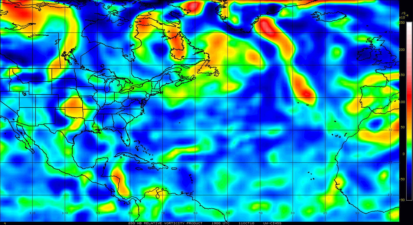
Take a look at the trace of vertical instability in the Caribbean for the season and you can see why systems have just not developed there. Instability is WAY DOWN below climo. That means the airmass is very stable across the Caribbean now.

0 likes

Re: ATL : INVEST 98L - Discussion
Thanks for the post. I remember another poster from Texas pointing this out a few weeks ago when we had the last system and they were dead on pointing this out as an unfavorable variable. This was a problem early in the season in the Atlantic and one of the main reasons why we had a late start and now it is happening in the Caribbean. Well I guess now we need to look at that variable as well when we try to predict activity.
wxman57 wrote:Take a look at the trace of vertical instability in the Caribbean for the season and you can see why systems have just not developed there. Instability is WAY DOWN below climo. That means the airmass is very stable across the Caribbean now.
0 likes


Re: ATL : INVEST 98L - Discussion
looks like 98L is getting sheared apart. Too much dry air down in the Caribbean.This might be deactivated tomorrow the way it looks tonight.
0 likes

Re: ATL : INVEST 98L - Discussion
sunnyday wrote:I knew I heard the fat lady singing. She gets louder by the moment.
She's already left the stage and the building here in this part of the GOM.
0 likes


-
DESTRUCTION5

- Category 5
- Posts: 4430
- Age: 44
- Joined: Wed Sep 03, 2003 11:25 am
- Location: Stuart, FL
-
dixiebreeze
- S2K Supporter

- Posts: 5140
- Joined: Wed Sep 03, 2003 5:07 pm
- Location: crystal river, fla.
Re: ATL : INVEST 98L - Discussion
NOUS42 KNHC 101500
WEATHER RECONNAISSANCE FLIGHTS
CARCAH, NATIONAL HURRICANE CENTER, MIAMI, FL.
1100 AM EDT SUN 10 OCTOBER 2010
SUBJECT: TROPICAL CYCLONE PLAN OF THE DAY (TCPOD)
VALID 11/1100Z TO 12/1100Z OCTOBER 2010
TCPOD NUMBER.....10-131
I. ATLANTIC REQUIREMENTS
1. SUSPECT SYSTEM (WESTERN CARIBBEAN)
FLIGHT ONE -- TEAL 70
A. 11/1800Z
B. AFXXX 01HHA INVEST
C. 11/1400Z
D. 14.5N 82.5W
E. 11/1730Z TO 11/2130Z
F. SFC TO 10,000 FT
FLIGHT TWO -- TEAL 71
A. 12/0600Z
B. AFXXX 0218A CYCLONE
C. 12/0200Z
D. 16.0N 83.5W
E. 12/0500Z TO 12/0900Z
F. SFC TO 15,000 FT
2. SUCCEEDING DAY OUTLOOK: CONTINUE 12-HRLY FIXES IF
SYSTEM DEVELOPS.
II. PACIFIC REQUIREMENTS
1. NEGATIVE RECONNAISSANCE REQUIREMENTS.
2. OUTLOOK FOR SUCCEEDING DAY.....NEGATIVE.
SEF
0 likes
-
dixiebreeze
- S2K Supporter
- Posts: 5140
- Joined: Wed Sep 03, 2003 5:07 pm
- Location: crystal river, fla.
Re: ATL : INVEST 98L - Discussion
In the past five hours the system has become less elongated. Looking less like a trough.
00z

05z

00z
05z
0 likes
-
SouthFloridawx

- S2K Supporter
- Posts: 8346
- Age: 47
- Joined: Tue Jul 26, 2005 1:16 am
- Location: Sarasota, FL
- Contact:

-
45NWOrlando
- Tropical Wave

- Posts: 8
- Age: 48
- Joined: Tue Sep 28, 2010 12:06 am
Re: ATL : INVEST 98L - Discussion
Evil Jeremy wrote:I would expect there to be a Special TWO in the next few hours raising the probability of formation to 50%60%, and if trends continue, 80%-90% at 8PM with an upgrade at 11AM, although knowing the NHC they might wait for morning visibles.
It wouldn't have been a "special" Tropical Weather Outlook. The next/new, scheduled one was issued no more than 3.7 hours after you posted.
0 likes
-
WeatherGuesser
- Category 5
- Posts: 2672
- Joined: Tue Jun 29, 2010 6:46 am
Once again, the fear and panic mongers seem to be crying wolf. How many times has that happened this season?
Oooooohhh, Ooooooh, it's gonna be a monster Cat 8 with 600 MPH winds a thousand miles wide and obliterate everything from Miami to Portland, Maine !!!!!!
Only to have it turn out to sea or die out completely. Yeah, there's been some heavy rains and some wind damage and casualties. Certainly those affected feel it was bad.
But if you were to believe that the 'predictions' on this board for this season would ever come true, there wouldn't be anything left along the entire eastern coastline.
0 likes
-
DanKellFla

- Category 5
- Posts: 1291
- Joined: Fri Mar 17, 2006 12:02 pm
- Location: Lake Worth, Florida
Re: ATL : INVEST 98L - Discussion
Still at 50
000
ABNT20 KNHC 110531
TWOAT
TROPICAL WEATHER OUTLOOK
NWS TPC/NATIONAL HURRICANE CENTER MIAMI FL
200 AM EDT MON OCT 11 2010
FOR THE NORTH ATLANTIC...CARIBBEAN SEA AND THE GULF OF MEXICO...
AN ELONGATED AREA OF LOW PRESSURE LOCATED ABOUT 140 MILES EAST OF
THE COAST OF NICARAGUA CONTINUES TO PRODUCE DISORGANIZED SHOWERS
AND THUNDERSTORMS. CONDITIONS APPEAR SOMEWHAT CONDUCIVE FOR
DEVELOPMENT DURING THE NEXT DAY OR TWO AS THIS SYSTEMS MOVES
WEST-NORTHWESTWARD TO NORTHWESTWARD AT 5 TO 10 MPH. THERE IS A
MEDIUM CHANCE...50 PERCENT...OF THIS SYSTEM BECOMING A TROPICAL
CYCLONE DURING THE NEXT 48 HOURS. REGARDLESS OF DEVELOPMENT...
HEAVY RAINFALL IS POSSIBLE OVER PORTIONS OF NICARAGUA AND HONDURAS
DURING THE NEXT COUPLE OF DAYS
0 likes


Re: ATL : INVEST 98L - Discussion
The cell fired at high rain-rate for about 1-1/2 hrs starting at 0715Z.
Rain-rain has since decreased to moderate.


Rain-rain has since decreased to moderate.
0 likes
Who is online
Users browsing this forum: No registered users and 42 guests