

18z
AL, 07, 2010082918, , BEST, 0, 174N, 589W, 70, 978, HU
80 mph
ATL: Ex Tropical Storm EARL - Discussion
Moderator: S2k Moderators


-
cyclonic chronic
it seems as if its turning a lil bit. i think i remember something on one of the advisories or disc. about a mini upper trough n. of cuba, haiti and the Dom. Rep. that was gonna nudge it towards the n.-n.w. anyways was just thinkin that haiti is esp prone to severe damage from even a strong t.s. with the everyone talkin bout the katrina/oil-spill one-two punch to La., this year could be real bad for haiti and their own version of a one-two punch. hadnt thought of it too much cause of the slow (till now) year, and the excitement of the last few days. just somethin to think bout.
0 likes


-
emeraldislencguy
- S2K Supporter

- Posts: 207
- Joined: Sun Aug 27, 2006 4:35 pm
- Location: emerald isle nc
- Contact:

-
crownweather

- S2K Supporter
- Posts: 602
- Age: 51
- Joined: Sat Aug 12, 2006 9:21 am
- Location: Sturbridge, Massachusetts
- Contact:
This radar should work well as Earl tracks further west to west-northwest. http://weather.an/radar/cappisxm.html
0 likes
Rob Lightbown
Crown Weather Services
https://crownweather.com
Crown Weather Services
https://crownweather.com
Re: ATL: Hurricane EARL - Discussion
The French one is animated at
http://flhurricane.com/imageanimator.php?81
http://flhurricane.com/imageanimator.php?81
0 likes
-
Aric Dunn
- Category 5

- Posts: 21238
- Age: 43
- Joined: Sun Sep 19, 2004 9:58 pm
- Location: Ready for the Chase.
- Contact:
Re:
crownweather wrote:This radar should work well as Earl tracks further west to west-northwest. http://weather.an/radar/cappisxm.html
yeah that works too..
0 likes
-
Aric Dunn
- Category 5
- Posts: 21238
- Age: 43
- Joined: Sun Sep 19, 2004 9:58 pm
- Location: Ready for the Chase.
- Contact:
Re: ATL: Hurricane EARL - Discussion
BobHarlem wrote:The French one is animated at
http://flhurricane.com/imageanimator.php?81
nice I forgot he did that... I know he does for the mexican radar sites..thanks..
0 likes

-
cycloneye

- Admin

- Posts: 149144
- Age: 69
- Joined: Thu Oct 10, 2002 10:54 am
- Location: San Juan, Puerto Rico
Re: ATL: Hurricane EARL - Discussion
Stephanie wrote:Thanks for all of the links, graphics, etc. everyone!
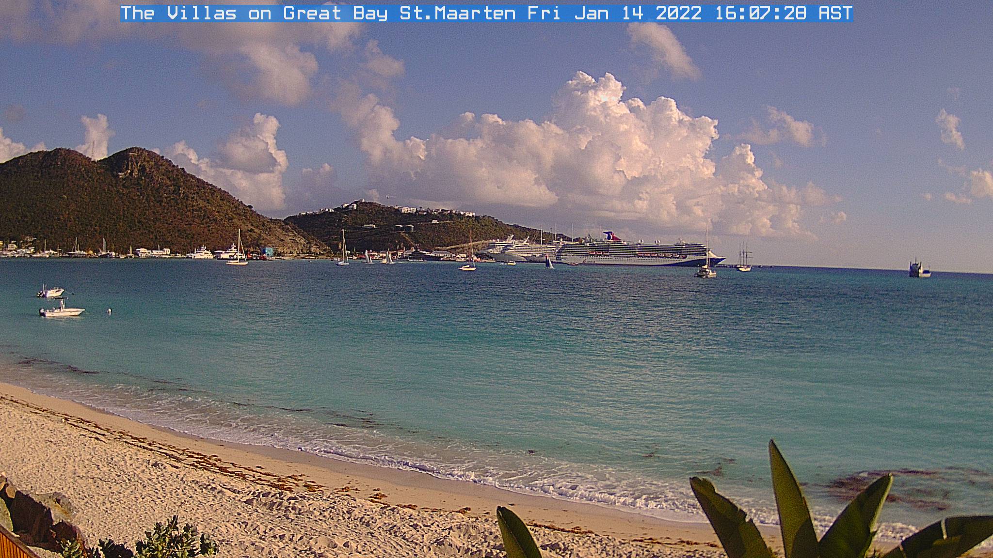
And also web cams like this one in ST Maarten. All is calm right now.
0 likes
Visit the Caribbean-Central America Weather Thread where you can find at first post web cams,radars
and observations from Caribbean basin members Click Here
and observations from Caribbean basin members Click Here
-
Aric Dunn
- Category 5
- Posts: 21238
- Age: 43
- Joined: Sun Sep 19, 2004 9:58 pm
- Location: Ready for the Chase.
- Contact:
Re:
bob rulz wrote:Its visible appearance is impressive but it still looks disorganized on IR. It could reach cat 2 before landfall in the islands though as it's strengthening at a pretty steady, although not yet rapid, clip.
yeah its still being sheared..
0 likes

Re:
gatorcane wrote:Folks, check out the forecast for IKE back in 2008. Look how it was supposed to recurve east of Florida and yet the cone had a NW bend to it but the entire cone kept shifting left. Ended up at least 1000 miles west of where it was originally supposed to turn. In this case Hanna's outflow helped to dive Ike WSW, though the ECMWF and GFDL sniffed this out and forecasted Ike to hit Cuba several days prior.
I'm not saying the error will be that bad at all with this one, just saying it has happened:
http://www.nhc.noaa.gov/archive/2008/gr ... p_5W.shtml
I remember this well. Went away for about five days where I was out of communication range when Ike was still chugging along through the Atlantic. When I left, Ike was forecast to stay out out to sea, east of Florida. When I got back in communication range, Ike was heading right to Texas and I was coming home to it! Crazy stuff. It wasn't even forecast to head to the Gulf when I left, but by the time I got back it was not only going to the Gulf but heading as far west as Texas.
Hopefully the forecasting has improved since then and the models are more accurate. But Ike wasn't that long ago and it did happen for sure then.
0 likes


Who is online
Users browsing this forum: No registered users and 33 guests