Agree with you there Steve. If it was not for the dry air and shear today this thing would more than likely be a TD today.
Here is the wv loop http://www.ssd.noaa.gov/goes/east/gmex/loop-wv.html
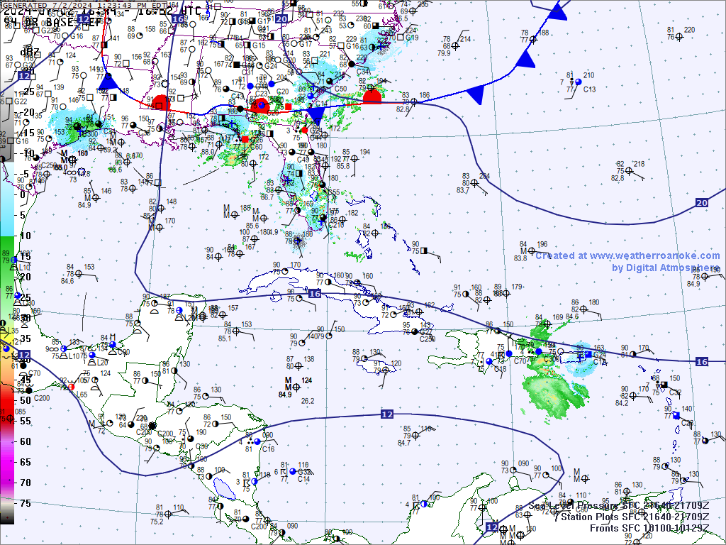
Latest gom visible. Check out the tight spin-up south of Lafayette http://www.ssd.noaa.gov/goes/east/gmex/loop-vis.html
Gulf of Mexico Disturbance--PGI37L
Moderator: S2k Moderators
Forum rules

The posts in this forum are NOT official forecasts and should not be used as such. They are just the opinion of the poster and may or may not be backed by sound meteorological data. They are NOT endorsed by any professional institution or STORM2K. For official information, please refer to products from the National Hurricane Center and National Weather Service.
-
CYCLONE MIKE
- Category 5

- Posts: 2183
- Joined: Tue Aug 31, 2004 6:04 pm
- Location: Gonzales, LA
-
srainhoutx

- S2K Supporter

- Posts: 6919
- Age: 68
- Joined: Sun Jan 14, 2007 11:34 am
- Location: Haywood County, NC
- Contact:
Re: Gulf of Mexico Disturbance--PGI37L
HGX thoughts in morning update...
AREA FORECAST DISCUSSION
NATIONAL WEATHER SERVICE HOUSTON/GALVESTON TX
1033 AM CDT SAT AUG 28 2010
.DISCUSSION...
A WEAK SFC LOW PRESSURE AREA WAS EVIDENT ON SFC OBS AND VISIBLE
SATELLITE IMAGERY JUST OFF THE SW LOUISIANA COAST THIS MORNING.
THIS FEATURE IS EXPECTED TO DRIFT SLOWLY WEST OR NORTHWEST AND
DISSIPATE BY SUNDAY. WATER VAPOR IMAGERY SHOWS A LARGE SWATH OF
VERY DRY AIR AND SUBSIDENCE IN PLACE OVER SE TX. SLIGHTLY DEEPER
MOISTURE (PWS GREATER THAN 1.2 INCHES) WAS CIRCULATING AROUND THE
GULF LOW AND WILL BEGIN SPREADING INTO OUR EASTERN ZONES THIS
AFTN. THIS WILL BE SEEN IN THE FORM OF CU DEVELOPMENT AND SOMEWHAT
HIGHER SFC DEWPOINTS OVER THE ERN ZONES THIS AFTN. OTHERWISE...THE
NORTHERLY WINDS ASSOCIATED WITH THE SFC LOW WILL RESULT IN ONE
MORE DAY OF LOWER HUMIDITIES AND LOWER HEAT INDICES TODAY (THOUGH
NOT AS LOW AS YESTERDAY). WILL KEEP PRECIP OUT OF THE FORECAST AS
SUBSIDENCE SHOULD KEEP THE LID ON CONVECTIVE DEVELOPMENT. ENJOY
TODAY...BECAUSE HIGHER DEWPOINTS WILL SPREAD ACROSS THE AREA
TONIGHT/SUNDAY AS THE LOW DISSIPATES. HEAT INDICES WILL BE BACK IN
THE NEIGHBORHOOD OF 105 SUNDAY AFTERNOON.
0 likes
Carla/Alicia/Jerry(In The Eye)/Michelle/Charley/Ivan/Dennis/Katrina/Rita/Wilma/Ike/Harvey
Member: National Weather Association
Wx Infinity Forums
http://wxinfinity.com/index.php
Facebook.com/WeatherInfinity
Twitter @WeatherInfinity
Member: National Weather Association
Wx Infinity Forums
http://wxinfinity.com/index.php
Facebook.com/WeatherInfinity
Twitter @WeatherInfinity

I'm pretty sure it is unless they are requiring a 30k surface wind now or something (haven't looked in enough detail at the surface obs to see what kinds of winds are out there). But by every other measure, this is another tropical depression that won't factor into the seasonal count. As I said above, Bonnie was a bear when it landfall even though it was a "remnant low." TD #5 was a bear (remant low, twice). 95L was pretty tough on us here in the city (invest). This surface low is piling up the rain 2-3 inches so far today of small, troipcal drops rotating in around the east side of the low pressure. And it's not a surge of tropical moisture because there appears to be a fairly well defined low. Maybe some of the pros know why they're playing this differently than they have in years gone by. I've seen streets flood more than 8 different times (different streets) in these events. It's not afternoon thunderstorms. 
http://madis.noaa.gov/sfc_display/
http://madis.noaa.gov/sfc_display/
0 likes
-
LSU2001

- S2K Supporter
- Posts: 1711
- Age: 58
- Joined: Sat Sep 11, 2004 11:01 pm
- Location: Cut Off, Louisiana
Re: Gulf of Mexico Disturbance--PGI37L
No kidding steve,
you can go outside and watch the low scud type clouds moving fast under the upper deck of the t-storm clouds. This is some kind of tropical circulation and it is dumping on us regardless of what the NHC is calling it.
Tim
you can go outside and watch the low scud type clouds moving fast under the upper deck of the t-storm clouds. This is some kind of tropical circulation and it is dumping on us regardless of what the NHC is calling it.
Tim
0 likes
Personal Forecast Disclaimer:
The posts in this forum are NOT official forecast and should not be used as such. They are NOT endorsed by any professional institution or storm2k.org. For official information, please refer to the NHC and NWS products.
The posts in this forum are NOT official forecast and should not be used as such. They are NOT endorsed by any professional institution or storm2k.org. For official information, please refer to the NHC and NWS products.
-
Portastorm

- Storm2k Moderator

- Posts: 9955
- Age: 63
- Joined: Fri Jul 11, 2003 9:16 am
- Location: Round Rock, TX
- Contact:
-
ColinDelia

- S2K Supporter
- Posts: 918
- Joined: Mon Aug 29, 2005 5:52 am
- Location: The Beach, FL
-
rolltide

- Tropical Storm

- Posts: 234
- Age: 65
- Joined: Thu Sep 09, 2004 5:33 pm
- Location: Pensacola Florida
Re: Gulf of Mexico Disturbance--PGI37L
Portastorm wrote:Hey guys, could you please send some of that west?!
I wish I could. I'm in west Pensacola and we've had a little over 7 inches of rain since 8:00 AM yesterday. It still raining pretty heavy now.
0 likes

Re: Gulf of Mexico Disturbance--PGI37L
I don't think it's a tropical depression, it needs more convection near the center although that center is very well defined it reminds me to the tropical low that produced disastrous rains to El Salvador last year.
0 likes
>>I don't think it's a tropical depression, it needs more convection near the center although that center is very well defined...
See I disagree with that. How many times have we had tropical storms where the convection was completely displaced from the circulation (Hermine Circa 1998 among others). I think they just decide if they want to or don't want to. Seems as though maybe someone on the staff has made them way too conservative where in the past they've been gunslingers. As LSU said, you can see the bands moving across the sky as they come through and the general tropical rain after they're gone. As for the front it's allegedly attached to (per the map Colin posted), you don't see them draw fronts like that too often. Again, just all my opinion. And I don't think I'm being short changed or anything. But if something meets the criteria to be an "x" (or most of the criteria) then it's pretty much of an "x".
http://radar.weather.gov/ridge/radar.ph ... x&loop=yes
http://www.goes.noaa.gov/HURRLOOPS/gulfvs.html
0 likes
-
CYCLONE MIKE
- Category 5
- Posts: 2183
- Joined: Tue Aug 31, 2004 6:04 pm
- Location: Gonzales, LA
Re: Gulf of Mexico Disturbance--PGI37L
And just like the many others we have seen lopsided in the years past this one is no different. As I said earlier without a doubt if the shear was not blowing the precip east and it could consolidate on the western side some more people would be screaming why this was not classified a depression. I live 60 miles west of downtown New Orleans and we have had east winds between 15-20 mph all day. So you know they are stronger in the outer waters off the coast. This is exactly like TD5 to me. If you are going to classify one do it to all or nome at all if in question.
BTW Steve and Tim why dont you guys send a little moisture down the I-10 towards us. Still have not received any rain today.
BTW Steve and Tim why dont you guys send a little moisture down the I-10 towards us. Still have not received any rain today.
0 likes
-
Ivanhater

- Storm2k Moderator
- Posts: 11222
- Age: 39
- Joined: Fri Jul 01, 2005 8:25 am
- Location: Pensacola
Re: Gulf of Mexico Disturbance--PGI37L
Sure looks "tropical" outside. Plans for the beach tonight may be off.
0 likes
Michael
-
CYCLONE MIKE
- Category 5
- Posts: 2183
- Joined: Tue Aug 31, 2004 6:04 pm
- Location: Gonzales, LA
Re:
Steve wrote:No kidding? It's been raining since I got up at 7:30ish.
Not kidding at all. The rain has stayed pretty much east of LaPlace since i got up around 8 this morning. Was in BTR around 1:00 and it was about 90 with p/c skies with a nice breeze though. We are forecast to get the brunt of it tomorrow as whatever center is left moves off the the nw and drags the rain shield across our area then. Not holding my breath though. Seems the wall of dry air is still blocking the rain from coming west.
0 likes
-
Stormcenter
- S2K Supporter
- Posts: 6689
- Joined: Wed Sep 03, 2003 11:27 am
- Location: Houston, TX
Below is an excerpt from the afternoon New Orleans, LA. NWS discussion.
It's still off shore.
AREA FORECAST DISCUSSION
NATIONAL WEATHER SERVICE NEW ORLEANS LA
328 PM CDT SAT AUG 28 2010
.SYNOPSIS...
WEAK UPPER TROF REMAINS NEARLY STATIONARY FROM EAST TEXAS TO
SOUTHEAST LOUISIANA...WITH A SURFACE LOW PRESSURE CENTER ABOUT 60
NM OFFSHORE SOUTHEAST OF LAKE CHARLES. SOME OF THE OFFSHORE
ELEVATED AWOS PLATFORMS ARE SHOWING NEAR 30 KNOT WINDS IN OUR FAR
WESTERN COASTAL WATERS...WITH 20 TO 25 KNOTS MORE LIKELY CLOSE TO
THE SURFACE. MOST OF THE THUNDERSTORM ACTIVITY REMAINS OFFSHORE
WITH VERY LIMITED LIGHTNING ACTIVITY OVER LAND. CLOUDS AND
PRECIPITATION HAVE HELD TEMPERATURES DOWN OVER LAND AREAS
SOUTHEAST OF A BATON ROUGE TO MCCOMB LINE WHERE TEMPERATURES HAVE
STRUGGLED TO MAKE IT MUCH PAST 80 DEGREES IN AREAS WHERE NO
SUNSHINE HAS OCCURRED.
&&
0 likes

Re: Gulf of Mexico Disturbance--PGI37L
Local met tweeted that storm in Caillou Bay had 682 lightning strikes and oil platform reported 100 knot wind.
0 likes
Re: Gulf of Mexico Disturbance--PGI37L
duris wrote:Local met tweeted that storm in Caillou Bay had 682 lightning strikes and oil platform reported 100 knot wind.
100 knots? I really doubt that. Thats 115 MPH.
0 likes
Re: Gulf of Mexico Disturbance--PGI37L
Migle wrote:duris wrote:Local met tweeted that storm in Caillou Bay had 682 lightning strikes and oil platform reported 100 knot wind.
100 knots? I really doubt that. Thats 115 MPH.
I agree. This met is good but guess she's just passing on the (questionable) platform o servations. Plus don't know what height it was taken etc.
0 likes
Re: Gulf of Mexico Disturbance--PGI37L
duris wrote:Migle wrote:duris wrote:Local met tweeted that storm in Caillou Bay had 682 lightning strikes and oil platform reported 100 knot wind.
100 knots? I really doubt that. Thats 115 MPH.
I agree. This met is good but guess she's just passing on the (questionable) platform o servations. Plus don't know what height it was taken etc.
yeah thats also true. Was that Margaret Orr or someone else?
0 likes

Re: Gulf of Mexico Disturbance--PGI37L
duris wrote:Local met tweeted that storm in Caillou Bay had 682 lightning strikes and oil platform reported 100 knot wind.
Sounds like it was from a microburst or waterspout.
0 likes
Who is online
Users browsing this forum: cycloneye and 151 guests