knotimpaired wrote:Gusty,
How are things down there.
Have winds picked up?
K
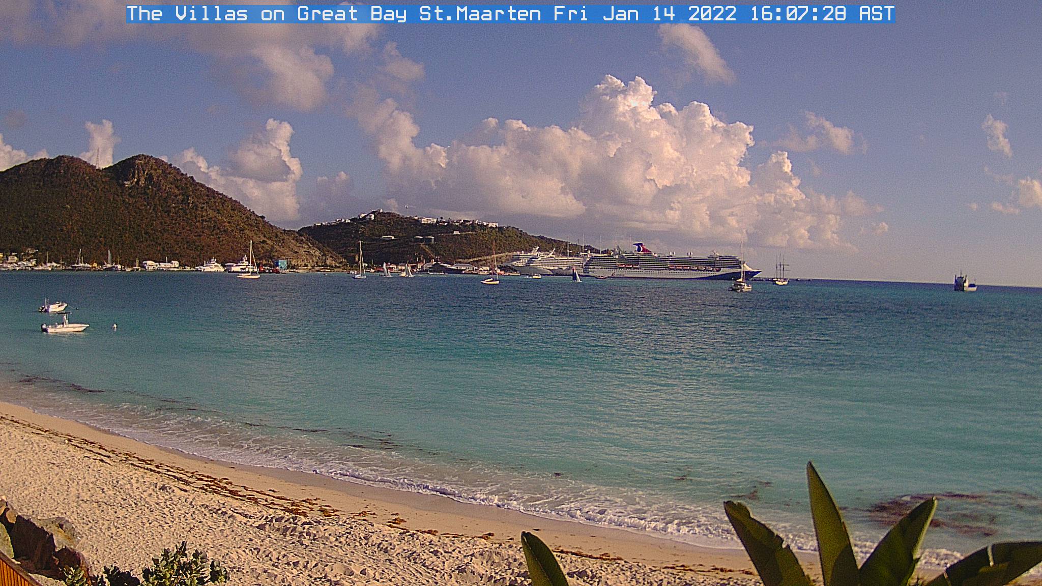
Absolutely not Knotimpaired. Weather is very hot and beautifull, no winds here.
Moderator: S2k Moderators


knotimpaired wrote:Gusty,
How are things down there.
Have winds picked up?
K
Looks to me like the 280 motion is carrying on, not sure what that means for the islands but either way its going to be a close run thing!


HURAKAN wrote:18z
AL, 07, 2010082818, , BEST, 0, 162N, 533W, 50, 999, TS
60 mph, likely to remain at 55 mph


cycloneye wrote:HURAKAN wrote:18z
AL, 07, 2010082818, , BEST, 0, 162N, 533W, 50, 999, TS
60 mph, likely to remain at 55 mph
Unless it starts to deepen in the next 2 hours.
Gustywind wrote:knotimpaired wrote:Gusty,
How are things down there.
Have winds picked up?
K
Absolutely not Knotimpaired. Weather is very hot and beautifull, no winds here.


msbee wrote:Gustywind wrote:knotimpaired wrote:Gusty,
How are things down there.
Have winds picked up?
K
Absolutely not Knotimpaired. Weather is very hot and beautifull, no winds here.
Gusty
same conditions here. absolutely no wind. It is eerily calm

HURAKAN wrote:If anyone out there is looking for someone to work at St. Marteen tracking hurricanes, please, contact me ASAP!!!!!
That image looks beautiful!!!
Users browsing this forum: No registered users and 63 guests


