T numbers from SAB for Danielle holding steady...
DATE/TIME LAT LON CLASSIFICATION STORM
26/0545 UTC 23.0N 54.4W T4.5/4.5 DANIELLE
25/2345 UTC 21.8N 53.4W T4.5/4.5 DANIELLE
And so is the best track intensity of 85kt, with a motion somewhat left of NW:
AL, 06, 2010082606, , BEST, 0, 230N, 544W, 85, 973, HU
AL, 06, 2010082600, , BEST, 0, 220N, 536W, 85, 975, HU
ATL: Ex-Hurricane DANIELLE - Discussion
Moderator: S2k Moderators


-
mcallum177
- Tropical Depression

- Posts: 98
- Joined: Sun Jun 14, 2009 12:39 am
- Location: Dallas, TX
OT, why would the gov't want to initiate some kind of back room conspiracy over weather??
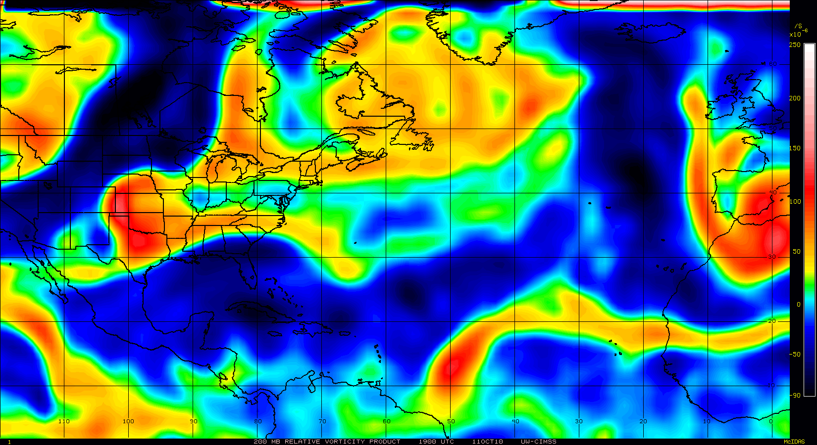
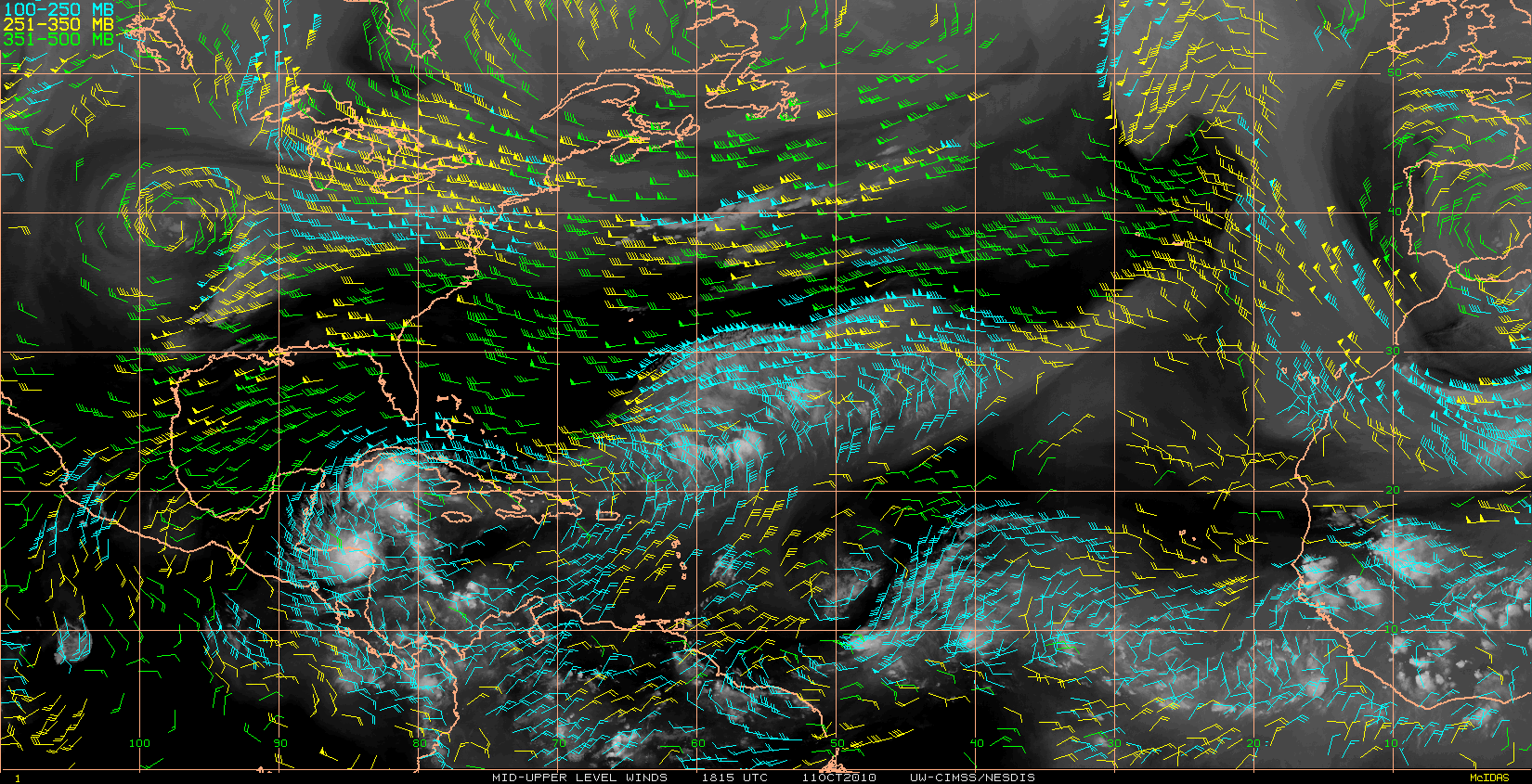
Back on topic, How is this storm able to survive under the shear it is currently experiencing? it seems like the sheer is just blow south to north straight across the entire storm... Also shouldn't the upper level low to the northwest be doing some kind of disruption to the system?
Back on topic, How is this storm able to survive under the shear it is currently experiencing? it seems like the sheer is just blow south to north straight across the entire storm... Also shouldn't the upper level low to the northwest be doing some kind of disruption to the system?
0 likes

Re:
supercane wrote:T numbers from SAB for Danielle holding steady...
DATE/TIME LAT LON CLASSIFICATION STORM
26/0545 UTC 23.0N 54.4W T4.5/4.5 DANIELLE
25/2345 UTC 21.8N 53.4W T4.5/4.5 DANIELLE
And so is the best track intensity of 85kt, with a motion somewhat left of NW:
AL, 06, 2010082606, , BEST, 0, 230N, 544W, 85, 973, HU
AL, 06, 2010082600, , BEST, 0, 220N, 536W, 85, 975, HU
that actually just RIGHT of NW....1.0 degree of latitudy gained .8 of longitute gained = just right of Due NW...but still "nw"
0 likes

Ah Danielle is looking like a classic hurricxane again now.
The models are suggesting a lesser risk to Bermuda now but its still close enough to need watching if nothing else and I'm sure recon will still fly unless the models really back off to the east.
The models are suggesting a lesser risk to Bermuda now but its still close enough to need watching if nothing else and I'm sure recon will still fly unless the models really back off to the east.
0 likes
Personal Forecast Disclaimer:
The posts in this forum are NOT official forecast and should not be used as such. They are just the opinion of the poster and may or may not be backed by sound meteorological data. They are NOT endorsed by any professional institution or storm2k.org. For official information, please refer to the NHC and NWS products
The posts in this forum are NOT official forecast and should not be used as such. They are just the opinion of the poster and may or may not be backed by sound meteorological data. They are NOT endorsed by any professional institution or storm2k.org. For official information, please refer to the NHC and NWS products

Re: ATL: Hurricane DANIELLE - Discussion
Core has warmed another 1C in 24 hrs.
Trying to get it together - see ADT


Trying to get it together - see ADT
0 likes
It still seems to be having a hard time totally sealing itself off from the looks of that image Gcane, though I suspect it is trying to strengthen still...
Has a decent shot becoming a major hurricane at some point in the next 48hrs.
Has a decent shot becoming a major hurricane at some point in the next 48hrs.
0 likes
Personal Forecast Disclaimer:
The posts in this forum are NOT official forecast and should not be used as such. They are just the opinion of the poster and may or may not be backed by sound meteorological data. They are NOT endorsed by any professional institution or storm2k.org. For official information, please refer to the NHC and NWS products
The posts in this forum are NOT official forecast and should not be used as such. They are just the opinion of the poster and may or may not be backed by sound meteorological data. They are NOT endorsed by any professional institution or storm2k.org. For official information, please refer to the NHC and NWS products

Re: ATL: Hurricane DANIELLE - Discussion
Do you really think so? If the forecast track holds, Bermuda will be about 200 miles West of Danielle’s eye on Sunday which would place them on the weaker side where hurricane force and tropical storm force winds don’t extend as far as on the Eastern side. Even if the TS force wind field were to expand to 250 miles, I still think Bermuda would be just looking at some gusts approaching storm force.plasticup wrote:I am more interested in its growing size. No matter where the center goes inside the forecast cone, there is no way that Bermuda will avoid TS-strength winds.
I know each system is different but this assumption is partly based on personal observations of storms that have passed Barbados to its North (putting us on the weaker side) versus those which have passed to the South.
The posts in this forum are NOT official forecast and should not be used as such. They are just the opinion of the poster and may or may not be backed by sound meteorological data. They are NOT endorsed by any professional institution or storm2k.org. For official information, please refer to the NHC and NWS products.
0 likes
Re: ATL: Hurricane DANIELLE - Discussion
KWT:
Looking at a couple later AMSU shots at the core, it seems temperature is fluctuating a bit.
At 5:35Z it went to 4C but lower in altitude.
8:35Z it dropped to 2C.
I really don't understand why.
Here's the latest AMSU analysis and their last two microwave soundings after the one I posted above.
CIMSS/NESDIS-USAF/NRL AMSU TC Intensity Estimation:
HURRICANE DANIELLE
Thursday 26aug10 Time: 0804 UTC
Latitude: 22.76 Longitude: -54.91
Storm position corresponds to AMSU-A FOV 27 [1<--->30]
-----------------------------------------------------------------
| Estimated MSLP: 978 hPa
| Estimated Maximum Sustained Wind: 73 kts
| Estimate Confidence: Fair ( +/- 10mb +/- 12kts )
-----------------------------------------------------------------
Channel 8 (~150 hPa) Tb Anomaly: 2.13
Channel 7 (~250 hPa) Tb Anomaly: 2.48
RMW: 37 km
RMW Source is: TPC
Environmental Pressure: 1010 (TPC)
Satellite: NOAA-15
ATCF data for Month: 08 Day: 26 Time (UTC): 0600
0 likes
-
ColinDelia

- S2K Supporter

- Posts: 918
- Joined: Mon Aug 29, 2005 5:52 am
- Location: The Beach, FL
Results for Bermuda (32.37N, 64.68W):
The approximate Closest Point of Approach (CPA) is located near 31.8N, 61.4W or about 194.9 miles (313.7 km) from your location. The estimated time of when the center of the storm will be at that location is in about 73.9 hours
FORECAST VALID 29/0600Z 31.5N 61.5W
MAX WIND 100 KT...GUSTS 120 KT.
50 KT...100NE 85SE 75SW 85NW.
34 KT...180NE 150SE 120SW 135NW.
Cumulative probability of 34 kt winds at Bermuda: 37%
0 likes
I can only imagine the system is still sneaking in dry air towards the core, as it still looks a touch open in the inner core looking at the latest Vis.imagery.
0 likes
Personal Forecast Disclaimer:
The posts in this forum are NOT official forecast and should not be used as such. They are just the opinion of the poster and may or may not be backed by sound meteorological data. They are NOT endorsed by any professional institution or storm2k.org. For official information, please refer to the NHC and NWS products
The posts in this forum are NOT official forecast and should not be used as such. They are just the opinion of the poster and may or may not be backed by sound meteorological data. They are NOT endorsed by any professional institution or storm2k.org. For official information, please refer to the NHC and NWS products
Re: ATL: Hurricane DANIELLE - Discussion
I think it is still struggling a bit with dry air.
MIMIC-TPW still shows boundary-layer dry-air entrainment and it is in a small pool of low CAPE air.
However, that looks to be temporary.
Higher CAPE ahead.
MIMIC-TPW seems to be showing it is trying to tap into East Carib moist air with a feeder forming on the SW side of the LLC.
http://cimss.ssec.wisc.edu/tropic/real- ... t72hrs.gif
http://cimss.ssec.wisc.edu/tropic/real- ... t72hrs.gif
0 likes
Re: ATL: Hurricane DANIELLE - Discussion
Latest TRMM shows it is rain-rate challanged at the moment.
Once the dry-air shakes out and new feeders get established, higher rain-rate cells should reform and she should continue intensification.
Should happen fairly quickly IMHO.

Once the dry-air shakes out and new feeders get established, higher rain-rate cells should reform and she should continue intensification.
Should happen fairly quickly IMHO.
0 likes
Re: ATL: Hurricane DANIELLE - Discussion
The strong TUTT at 35N 42W has seemed to developed an enhanced poleward outflow channel for Danielle.
That should help her get cranking today.
That should help her get cranking today.
0 likes
-
ColinDelia
- S2K Supporter
- Posts: 918
- Joined: Mon Aug 29, 2005 5:52 am
- Location: The Beach, FL


Re: ATL: Hurricane DANIELLE - Discussion
Closest sounding upstream at 26N 58W, 7:00Z shows good unstable air.
CAPE: 2434
LI: -6
A small inversion 925 to 850mb in the upper boundary-layer.
That probably will be broken with increasing trublence as she approaches.
She should ramp up.

CAPE: 2434
LI: -6
A small inversion 925 to 850mb in the upper boundary-layer.
That probably will be broken with increasing trublence as she approaches.
She should ramp up.
0 likes
-
cycloneye

- Admin

- Posts: 149730
- Age: 69
- Joined: Thu Oct 10, 2002 10:54 am
- Location: San Juan, Puerto Rico
Re: ATL: Hurricane DANIELLE - Discussion
12z Best Track
AL, 06, 2010082612, , BEST, 0, 240N, 554W, 90, 970, HU
AL, 06, 2010082612, , BEST, 0, 240N, 554W, 90, 970, HU
0 likes
Visit the Caribbean-Central America Weather Thread where you can find at first post web cams,radars
and observations from Caribbean basin members Click Here
and observations from Caribbean basin members Click Here
Who is online
Users browsing this forum: No registered users and 42 guests