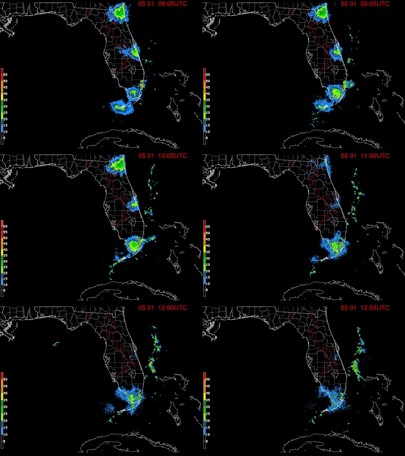
ATL: EX-Tropical Depression FIVE - Discussion

Moderator: S2k Moderators

Message
Author
User avatar
Ivanhater
Storm2k Moderator
Storm2k Moderator
Posts: 11161
Age: 38
Joined: Fri Jul 01, 2005 8:25 am
Location: Pensacola

Re: ATL: INVEST 94L - Discussion

#641 Postby Ivanhater » Tue Aug 10, 2010 4:07 pm

Image

Image
0 likes   
Michael

Aric Dunn
Category 5
Category 5
Posts: 21238
Age: 42
Joined: Sun Sep 19, 2004 9:58 pm
Location: Ready for the Chase.
Contact:

#642 Postby Aric Dunn » Tue Aug 10, 2010 4:11 pm

recon finding a very disorganized LLC multiple wind shifts.. its still very elongated and broad its going to need convection which is developing near the MLC should be pulled to any decent convection..
0 likes   
Note: If I make a post that is brief. Please refer back to previous posts for the analysis or reasoning. I do not re-write/qoute what my initial post said each time.
If there is nothing before... then just ask :)

Space & Atmospheric Physicist, Embry-Riddle Aeronautical University,
I believe the sky is falling...

SunnyThoughts
Category 5
Category 5
Posts: 2263
Joined: Wed Jul 09, 2003 12:42 pm
Location: Pensacola, Florida

#643 Postby SunnyThoughts » Tue Aug 10, 2010 4:12 pm

Sure looks to be coming together on satellite. It may not be anything really substantial in the end, but as it looks now..I certainly don't see it falling apart. For that reason, I think they'll call it TD at some point tonight, just to give everyone a heads up along the coastal states that will be affected.
0 likes   

User avatar
Nimbus
Category 5
Category 5
Posts: 5300
Joined: Mon Jul 19, 2004 10:54 am

#644 Postby Nimbus » Tue Aug 10, 2010 4:14 pm

My call was that they would be upgrading to a TD today guess I was wrong. There is something to the argument that if its going to be a TS in 48 hours they should call it early. There is offshore activity that will be effected before landfall and it clearly has had a closed circulation for a while. Maybe they thought recon would find TS winds so they could jump right to a named storm?
0 likes   

User avatar
Extremeweatherguy
Category 5
Category 5
Posts: 11095
Joined: Mon Oct 10, 2005 8:13 pm
Location: Florida

#645 Postby Extremeweatherguy » Tue Aug 10, 2010 4:16 pm

Nice images Ivan! Definitely looks like this system is starting to come together.
Last edited by Extremeweatherguy on Tue Aug 10, 2010 4:22 pm, edited 5 times in total.
0 likes   

User avatar
HURAKAN
Professional-Met
Professional-Met
Posts: 46086
Age: 38
Joined: Thu May 20, 2004 4:34 pm
Location: Key West, FL
Contact:

#646 Postby HURAKAN » Tue Aug 10, 2010 4:16 pm

Image

NICE!!!!!!!!!!!!
0 likes   

Air Force Met
Military Met
Military Met
Posts: 4372
Age: 56
Joined: Tue Jul 08, 2003 9:30 am
Location: Roan Mountain, TN

Re:

#647 Postby Air Force Met » Tue Aug 10, 2010 4:16 pm

Aric Dunn wrote:recon finding a very disorganized LLC multiple wind shifts.. its still very elongated and broad its going to need convection which is developing near the MLC should be pulled to any decent convection..


I'm shocked they are finding a weak disorganized LLC with a pressure of 1008mb and winds 20-25 MPH.

Shocked. :lol:
0 likes   

User avatar
ronjon
Category 5
Category 5
Posts: 4822
Joined: Fri Aug 19, 2005 5:17 pm
Location: Hernando Beach, FL

Re: ATL: INVEST 94L - Discussion

#648 Postby ronjon » Tue Aug 10, 2010 4:18 pm

The MLC is becoming better defined on RAD. Interesting now that heavy convection is now north of the MLC. I would expect the LLC to become established beneath the MLC tonight and then we have a tropical cyclone. Looks to be drifting NW or N-NW now.

http://radar.weather.gov/radar.php?product=N0Z&rid=TBW&loop=yes
0 likes   

lebron23
Category 1
Category 1
Posts: 389
Age: 32
Joined: Sat May 24, 2008 11:58 am
Contact:

Re: ATL: INVEST 94L - Discussion

#649 Postby lebron23 » Tue Aug 10, 2010 4:21 pm

WNW NOT northwest or north north west..
0 likes   

User avatar
HouTXmetro
Category 5
Category 5
Posts: 3949
Joined: Sun Jun 13, 2004 6:00 pm
Location: District of Columbia, USA

Re: ATL: INVEST 94L - Discussion

#650 Postby HouTXmetro » Tue Aug 10, 2010 4:24 pm

lebron23 wrote:WNW NOT northwest or north north west..


He's referring to the MLC feature.
0 likes   
[Disclaimer: My Amateur Opinion, please defer to your local authorities or the NHC for Guidance.]

User avatar
tailgater
S2K Supporter
S2K Supporter
Posts: 3339
Joined: Sun Jul 11, 2004 9:13 pm
Location: St. Amant La.

Re: ATL: INVEST 94L - Discussion

#651 Postby tailgater » Tue Aug 10, 2010 4:26 pm

ronjon wrote:The MLC is becoming better defined on RAD. Interesting now that heavy convection is now north of the MLC. I would expect the LLC to become established beneath the MLC tonight and then we have a tropical cyclone. Looks to be drifting NW or N-NW now.

http://radar.weather.gov/radar.php?product=N0Z&rid=TBW&loop=yes


I think that MLC or what ever it is, is just rotating around the surface reflection NW or WNW of Dry Tortuga
Last edited by tailgater on Tue Aug 10, 2010 4:26 pm, edited 1 time in total.
0 likes   
The following post is NOT an official forecast and should not be used as such. It is just the opinion of the poster and may or may not be backed by sound meteorological data. It is NOT endorsed by any professional institution including storm2k.org For Official Information please refer to the NHC and NWS products.

Aric Dunn
Category 5
Category 5
Posts: 21238
Age: 42
Joined: Sun Sep 19, 2004 9:58 pm
Location: Ready for the Chase.
Contact:

Re: Re:

#652 Postby Aric Dunn » Tue Aug 10, 2010 4:26 pm

Air Force Met wrote:
Aric Dunn wrote:recon finding a very disorganized LLC multiple wind shifts.. its still very elongated and broad its going to need convection which is developing near the MLC should be pulled to any decent convection..


I'm shocked they are finding a weak disorganized LLC with a pressure of 1008mb and winds 20-25 MPH.

Shocked. :lol:


haha... well yeah ... lol it should consolidate with the MLC overnight
0 likes   
Note: If I make a post that is brief. Please refer back to previous posts for the analysis or reasoning. I do not re-write/qoute what my initial post said each time.
If there is nothing before... then just ask :)

Space & Atmospheric Physicist, Embry-Riddle Aeronautical University,
I believe the sky is falling...

User avatar
LaBreeze
Category 5
Category 5
Posts: 1497
Joined: Thu Sep 04, 2003 1:57 pm
Location: SW Louisiana

Re: ATL: INVEST 94L - Discussion

#653 Postby LaBreeze » Tue Aug 10, 2010 4:30 pm

StormClouds63 wrote:A mid-range TS is about the maximum this system will produce given the upper level conditions over the central GOM. Flooding could be an issue east of where the center makes landfall (e.g. Mobile, Pensacola). As long as the system doesn't "sit" over the Gulf for several days, it is very unlikely to develop into a serious wind threat, IMO. Overall structure of the system does seem to be improving on satellite, and it will almost certainly be classed as a TD within the next 12 hours. If the movement is rather slow, a TS is a good possibility just prior to landfall somewhere on the Mississippi (or Alabama coastline).


How certain are we that this system is headed to make a landfall in MS or AL?
0 likes   

Air Force Met
Military Met
Military Met
Posts: 4372
Age: 56
Joined: Tue Jul 08, 2003 9:30 am
Location: Roan Mountain, TN

Re: Re:

#654 Postby Air Force Met » Tue Aug 10, 2010 4:30 pm

Aric Dunn wrote:
Air Force Met wrote:
Aric Dunn wrote:recon finding a very disorganized LLC multiple wind shifts.. its still very elongated and broad its going to need convection which is developing near the MLC should be pulled to any decent convection..


I'm shocked they are finding a weak disorganized LLC with a pressure of 1008mb and winds 20-25 MPH.

Shocked. :lol:


haha... well yeah ... lol it should consolidate with the MLC overnight


Yeah...I think we wake up tomorrow with a well consolidated TD or weak TS.
0 likes   

User avatar
blp
Category 5
Category 5
Posts: 2840
Age: 46
Joined: Thu Sep 09, 2004 7:51 pm
Location: Miami, FL
Contact:

Re: ATL: INVEST 94L - Discussion

#655 Postby blp » Tue Aug 10, 2010 4:33 pm

This thing is looking good. Kudos to the models that sniffed this out of nothing a couple of days ago. Quite a surprise.

Image
0 likes   

User avatar
Nimbus
Category 5
Category 5
Posts: 5300
Joined: Mon Jul 19, 2004 10:54 am

#656 Postby Nimbus » Tue Aug 10, 2010 4:34 pm

The ULL that has been pulling dry air in and shredding the convection is weakening. There is some ridging building in to the north which will tighten up the gradient. With those high SST's the one good thing we have against rapid development is that the surface pressure is low over a rather broad area and is not focused.
0 likes   

Air Force Met
Military Met
Military Met
Posts: 4372
Age: 56
Joined: Tue Jul 08, 2003 9:30 am
Location: Roan Mountain, TN

Re: ATL: INVEST 94L - Discussion

#657 Postby Air Force Met » Tue Aug 10, 2010 4:35 pm

LaBreeze wrote:
StormClouds63 wrote:A mid-range TS is about the maximum this system will produce given the upper level conditions over the central GOM. Flooding could be an issue east of where the center makes landfall (e.g. Mobile, Pensacola). As long as the system doesn't "sit" over the Gulf for several days, it is very unlikely to develop into a serious wind threat, IMO. Overall structure of the system does seem to be improving on satellite, and it will almost certainly be classed as a TD within the next 12 hours. If the movement is rather slow, a TS is a good possibility just prior to landfall somewhere on the Mississippi (or Alabama coastline).


How certain are we that this system is headed to make a landfall in MS or AL?


I don't think we are certain of that at all. Maybe Stormclouds is...and I can't speak for everyone...but I don't think anyone is certain. I think it is a Louisiana storm personally. It might get over into MS...but landfall appears to me at least to be in LA.
0 likes   

Aric Dunn
Category 5
Category 5
Posts: 21238
Age: 42
Joined: Sun Sep 19, 2004 9:58 pm
Location: Ready for the Chase.
Contact:

Re: Re:

#658 Postby Aric Dunn » Tue Aug 10, 2010 4:37 pm

Air Force Met wrote:
Aric Dunn wrote:
Air Force Met wrote:
I'm shocked they are finding a weak disorganized LLC with a pressure of 1008mb and winds 20-25 MPH.

Shocked. :lol:


haha... well yeah ... lol it should consolidate with the MLC overnight


Yeah...I think we wake up tomorrow with a well consolidated TD or weak TS.


well Im beginning to wonder if we are going to see some significant strengthening tomorrow. The ULL is positioning itself in a very prime location and the outflow over the systems is becoming very symmetric and expansive this afternoon. I think once it establishes a well defined LLC we could see it reach 50 or 60 pretty quickly and I want to bring the chances to hurricane up a little given the synoptic's at the moment.
0 likes   
Note: If I make a post that is brief. Please refer back to previous posts for the analysis or reasoning. I do not re-write/qoute what my initial post said each time.
If there is nothing before... then just ask :)

Space & Atmospheric Physicist, Embry-Riddle Aeronautical University,
I believe the sky is falling...

User avatar
LaBreeze
Category 5
Category 5
Posts: 1497
Joined: Thu Sep 04, 2003 1:57 pm
Location: SW Louisiana

Re: ATL: INVEST 94L - Discussion

#659 Postby LaBreeze » Tue Aug 10, 2010 4:39 pm

Air Force Met wrote:
LaBreeze wrote:
StormClouds63 wrote:A mid-range TS is about the maximum this system will produce given the upper level conditions over the central GOM. Flooding could be an issue east of where the center makes landfall (e.g. Mobile, Pensacola). As long as the system doesn't "sit" over the Gulf for several days, it is very unlikely to develop into a serious wind threat, IMO. Overall structure of the system does seem to be improving on satellite, and it will almost certainly be classed as a TD within the next 12 hours. If the movement is rather slow, a TS is a good possibility just prior to landfall somewhere on the Mississippi (or Alabama coastline).


How certain are we that this system is headed to make a landfall in MS or AL?


I don't think we are certain of that at all. Maybe Stormclouds is...and I can't speak for everyone...but I don't think anyone is certain. I think it is a Louisiana storm personally. It might get over into MS...but landfall appears to me at least to be in LA.


I totally agree on the "certainty" thing. I was just wondering what Stormclouds was seeing. Believe me, I know, with the GOM no one can ever be really certain. Been around along time - since before Hurricane Audrey in 1957, so I've developed a lifelong respect for the GOM.
0 likes   

sphelps8681
Category 2
Category 2
Posts: 785
Joined: Thu Aug 16, 2007 5:37 pm
Location: Somewhere over the rainbow

Re: ATL: INVEST 94L - Discussion

#660 Postby sphelps8681 » Tue Aug 10, 2010 4:46 pm

When will it need to start heading more NW to confirm current model tracks?
0 likes   


Return to “2010”

Who is online

Users browsing this forum: No registered users and 7 guests