Here is the latest image (no VDM yet...):

The next set still shows no well defined LLC (and one could even argue the winds are so weak, they are veering, so the LLC could of opened up)

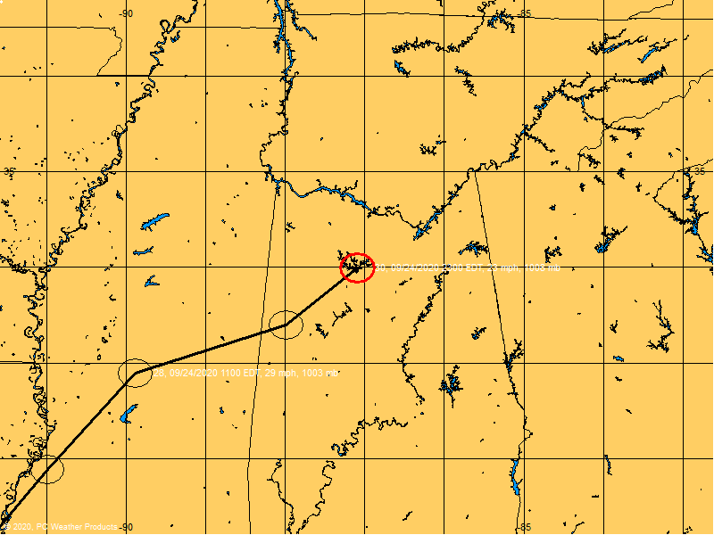
And now we have a VDM:
Product: Air Force Vortex Message (URNT12 KNHC)
Transmitted: 23rd day of the month at 08:03Z
Aircraft: Air Force Aircraft (Last 3 digits of the tail number are 305)
Storm Number & Year: 03L in 2010
Storm Name: Bonnie (flight in the North Atlantic basin)
Mission Number: 4
Observation Number: 10
A. Time of Center Fix: 23rd day of the month at 7:37:00Z
B. Center Fix Coordinates: 24°06'N 78°20'W (24.1N 78.3333W)
B. Center Fix Location: 92 miles (147 km) to the SW (223°) from Nassau, Bahamas.
C. Minimum Height at Standard Level: 1,497m (4,911ft) at 850mb
D. Estimated (by SFMR or visually) Maximum Surface Wind: 34kts (~ 39.1mph)
E. Location of the Estimated Maximum Surface Wind: 59 nautical miles (68 statute miles) to the ENE (57°) of center fix
F. Maximum Flight Level Wind Inbound: From 128° at 41kts (From the SE at ~ 47.2mph)
G. Location of Maximum Flight Level Wind Inbound: 67 nautical miles (77 statute miles) to the NE/ENE (56°) of center fix
H. Minimum Sea Level Pressure: 1009mb (29.80 inHg)
I. Maximum Flight Level Temp & Pressure Altitude Outside Eye: 18°C (64°F) at a pressure alt. of 1,526m (5,007ft)
J. Maximum Flight Level Temp & Pressure Altitude Inside Eye: 19°C (66°F) at a pressure alt. of 1,530m (5,020ft)
K. Dewpoint Temp (collected at same location as temp inside eye): 18°C (64°F)
K. Sea Surface Temp (collected at same location as temp inside eye): Not Available
L. Eye Character: Not Available
M. Eye Shape: Not Available
N. Fix Determined By: Penetration, Wind and Pressure
N. Fix Level: 850mb
O. Navigation Fix Accuracy: 0.02 nautical miles
O. Meteorological Accuracy: 0 nautical miles
Remarks Section:
Maximum Flight Level Wind: 41kts (~ 47.2mph) in the northeast quadrant at 7:15:50Z
Maximum Flight Level Temp: 19°C (66°F) which was observed 6 nautical miles to the E (81°) from the flight level center