ATL : INVEST 92L - DISCUSSION

Moderator: S2k Moderators

Message
Author
I-wall
Tropical Storm
Tropical Storm
Posts: 210
Joined: Wed Sep 10, 2008 5:24 pm

Re: ATL : INVEST 92L - Discussion

#541 Postby I-wall » Tue Jun 15, 2010 1:04 am

Latest (for those of you who are sleeping right now):

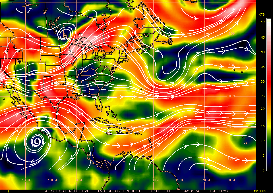
Appears to be a TD or minimal TS, in my opinion.

Image

Image

Image

Image

Image
0 likes   

Brent
S2K Supporter
S2K Supporter
Posts: 38090
Age: 36
Joined: Sun May 16, 2004 10:30 pm
Location: Tulsa Oklahoma
Contact:

Re: ATL : INVEST 92L - Discussion

#542 Postby Brent » Tue Jun 15, 2010 1:29 am

It does look really good and I can't believe how small it is. It was only a day or two ago it was too big to fit on the floater.
0 likes   
#neversummer

I-wall
Tropical Storm
Tropical Storm
Posts: 210
Joined: Wed Sep 10, 2008 5:24 pm

Re: ATL : INVEST 92L - Discussion

#543 Postby I-wall » Tue Jun 15, 2010 1:39 am

What do you guys make of this? Last image before I go to sleep...

Image
0 likes   

Time_Zone
Category 1
Category 1
Posts: 251
Joined: Sat May 08, 2010 4:15 am

#544 Postby Time_Zone » Tue Jun 15, 2010 1:53 am

Looks like a disorganized TD to me.

Nothing too impressive lol.
0 likes   

Weatherfreak000

Re:

#545 Postby Weatherfreak000 » Tue Jun 15, 2010 2:19 am

Time_Zone wrote:Looks like a disorganized TD to me.

Nothing too impressive lol.


You could get a degree in obvious. or maybe even a minor in wasting forum space.


But seriously, it isn't the organization we are interested in...it's the location and time that makes this system so important, and such an anomaly. Nobody expected 92L to ever honestly get too organized, I can assure you of that.

That being said, I am slightly encouraged tonight. I hope the convection can wrap around some more over night and perhaps things will be looking even better then.


Edit: Enjoy the phantom eye feature as it lasts....an ominous sign!
0 likes   

Time_Zone
Category 1
Category 1
Posts: 251
Joined: Sat May 08, 2010 4:15 am

Re: Re:

#546 Postby Time_Zone » Tue Jun 15, 2010 2:33 am

Weatherfreak000 wrote:
Time_Zone wrote:Looks like a disorganized TD to me.

Nothing too impressive lol.


You could get a degree in obvious. or maybe even a minor in wasting forum space.


But seriously, it isn't the organization we are interested in...it's the location and time that makes this system so important, and such an anomaly. Nobody expected 92L to ever honestly get too organized, I can assure you of that.

That being said, I am slightly encouraged tonight. I hope the convection can wrap around some more over night and perhaps things will be looking even better then.

I'm sorry I offended you.

anyways, It seems like it's trying to wrap up.....I wonder if the NHC declares it TD1 at 5am? I'd be surprised if they did but you never know...it's running out of time though.
0 likes   

User avatar
AdamFirst
S2K Supporter
S2K Supporter
Posts: 2491
Age: 36
Joined: Thu Aug 14, 2008 10:54 am
Location: Port Saint Lucie, FL

#547 Postby AdamFirst » Tue Jun 15, 2010 2:45 am

Who needs to sleep...there's a marginal tropical disturbance in the east atlantic that needs watching :wink:

This is it's last chance in my totally untrained and unprofessional opinion...circulation has remained strong but nothing has been able to wrap around. Even if they do upgrade this thing to TD1, its going to have very little time to grow into Alex before it runs into shear and dry air (unless those forecasts have changed and I'm not aware of it).

Just one more day...another 24 hours for 92L
0 likes   
Dolphins Marlins Canes Golden Panthers HEAT
Andrew 1992 - Irene 1999 - Frances 2004 - Jeanne 2004 - Wilma 2005 - Fay 2008 - Isaac 2012 - Matthew 2016 - Irma 2017 - Dorian 2019 - Ian 2022 - Nicole 2022 - Milton 2024

User avatar
KWT
Category 5
Category 5
Posts: 31415
Joined: Tue Aug 17, 2004 11:02 am
Location: UK!!!

#548 Postby KWT » Tue Jun 15, 2010 4:34 am

92L hasn't done badly overnight, convection still flaring up but if you look at the loops you can see the shear is really rather close now...so its not got long.

I'd guess if this was in the Gulf of Mexico though this would probably have been upgraded but its position means its always going to be unlikely, since they have to be nearly TS for them to upgrade east of 50W usually...
0 likes   
Personal Forecast Disclaimer:
The posts in this forum are NOT official forecast and should not be used as such. They are just the opinion of the poster and may or may not be backed by sound meteorological data. They are NOT endorsed by any professional institution or storm2k.org. For official information, please refer to the NHC and NWS products

User avatar
alan1961
Category 2
Category 2
Posts: 771
Joined: Mon Mar 20, 2006 11:58 am
Location: Derby, Derbyshire, England
Contact:

Re: ATL : INVEST 92L - Discussion

#549 Postby alan1961 » Tue Jun 15, 2010 4:45 am

Yes kwt..the time is rapidly approaching for 92L
to fight the shear barrier ahead, as you say convection
as increased a little over the centre of circulation so lets
see if its up for the shear fight... :wink:
0 likes   

xironman
S2K Supporter
S2K Supporter
Posts: 2522
Joined: Sun Jun 10, 2007 4:53 pm
Location: NoVA

Re: ATL : INVEST 92L - Discussion

#550 Postby xironman » Tue Jun 15, 2010 4:49 am

Definitely goes into the nice try with that blow up of convection in the first visible.

Image
0 likes   

User avatar
KWT
Category 5
Category 5
Posts: 31415
Joined: Tue Aug 17, 2004 11:02 am
Location: UK!!!

#551 Postby KWT » Tue Jun 15, 2010 4:52 am

It looks pretty good, but I'm not sure the NHC will decide to upgrade it given its rapidly heading towards that jet core. In another situation though I'd be confident it would be upgraded, esp if it was in the Gulf/Caribbean.
0 likes   
Personal Forecast Disclaimer:
The posts in this forum are NOT official forecast and should not be used as such. They are just the opinion of the poster and may or may not be backed by sound meteorological data. They are NOT endorsed by any professional institution or storm2k.org. For official information, please refer to the NHC and NWS products

User avatar
Gustywind
Category 5
Category 5
Posts: 12334
Joined: Mon Sep 03, 2007 7:29 am
Location: Baie-Mahault, GUADELOUPE

#552 Postby Gustywind » Tue Jun 15, 2010 5:02 am

Image
0 likes   

User avatar
Gustywind
Category 5
Category 5
Posts: 12334
Joined: Mon Sep 03, 2007 7:29 am
Location: Baie-Mahault, GUADELOUPE

#553 Postby Gustywind » Tue Jun 15, 2010 5:04 am

Image
Image
0 likes   

User avatar
cycloneye
Admin
Admin
Posts: 145327
Age: 68
Joined: Thu Oct 10, 2002 10:54 am
Location: San Juan, Puerto Rico

Re: ATL : INVEST 92L - Discussion

#554 Postby cycloneye » Tue Jun 15, 2010 5:05 am

Good morning to all. This from the San Juan Discussion.

AREA FORECAST DISCUSSION
NATIONAL WEATHER SERVICE SAN JUAN PR
553 AM AST TUE JUN 15 2010

.SYNOPSIS...TUTT CENTERED NEAR 19 NORTH 55 WEST AND EXTENDING
ACROSS PUERTO RICO AND THE U.S. VIRGIN ISLANDS WILL WEAKEN SLOWLY
AND PULL NORTH WEDNESDAY.


THE LOW PRESSURE CURRENTLY NEAR 12 NORTH AND 43 WEST IS SLIGHTLY
BETTER ORGANIZED THAN IT WAS 24 HOURS AGO AND ROTATION IS STILL
REMARKABLE FOR A SYSTEM THIS TIME OF THE YEAR...NEVERTHELESS THE
MODELS HOLD NO MORE HOPE FOR IT TO DEVELOP INTO A TROPICAL
CYCLONE NOW THAN THEY DID YESTERDAY AND SO EXPECT THIS SYSTEM TO
PASS AS AN OPEN WAVE. INCREASING SHEAR TO THE LOWS NORTHWEST
SUPPORTS THIS SCENARIO. THE LOW MAY ALSO BE INGESTING SOME DRY AIR
ON ITS WESTERN SIDE SINCE VISIBLE IMAGERY YESTERDAY SHOWED SAHARAN
DUST TO THE NORTH OF THE LOW THAT COULD MAKE ITS WAY INTO THE LOW
AND KEEP IT FROM DEVELOPING FURTHER. THE ECMWF SHOWS THIS DRY SLOT
PASSING JUST NORTH OF THE AREA WEDNESDAY EVENING. WITH THE OPEN
WAVE...THE ECMWF BRINGS IN THE HEAVIEST MOISTURE ON SATURDAY...BUT
THE GFS...ALTHOUGH NOT QUITE AS WET...PROLONGS THAT MOISTURE THROUGH
TUESDAY IN A LONG TAIL THAT MAY WELL BE THE REMNANTS OF THE MOST
RECENT WAVE TO HAVE CLEARED THE AFRICAN CONTINENT. EITHER
WAY...EXPECT INCREASED SHOWER AND THUNDERSTORM ACTIVITY BEGINNING
FRIDAY AND PEAKING SATURDAY AND SUNDAY. A THIRD WAVE MAY ARRIVE ON
THE THURSDAY AFTER NEXT.

http://forecast.weather.gov/product.php ... glossary=1
0 likes   
Visit the Caribbean-Central America Weather Thread where you can find at first post web cams,radars
and observations from Caribbean basin members Click Here

User avatar
HURAKAN
Professional-Met
Professional-Met
Posts: 46086
Age: 38
Joined: Thu May 20, 2004 4:34 pm
Location: Key West, FL
Contact:

#555 Postby HURAKAN » Tue Jun 15, 2010 5:16 am

Image

Mid-level shear may also be a problem
0 likes   

User avatar
KWT
Category 5
Category 5
Posts: 31415
Joined: Tue Aug 17, 2004 11:02 am
Location: UK!!!

#556 Postby KWT » Tue Jun 15, 2010 5:22 am

Yeah the shear at all levels is going to be a problem, thats what you get when you have a true jet streak dipping that far down.

Will be interesting to see what happens to the system over the next 12hrs as it gets more shear and the Durinal cycle causes the convective tops to warm as well like it has done in previous days, the combo of the two will probably mean a less organised system by tonight but we shall see, this system seems to be a bit of a fighter!
0 likes   
Personal Forecast Disclaimer:
The posts in this forum are NOT official forecast and should not be used as such. They are just the opinion of the poster and may or may not be backed by sound meteorological data. They are NOT endorsed by any professional institution or storm2k.org. For official information, please refer to the NHC and NWS products

User avatar
wxman57
Moderator-Pro Met
Moderator-Pro Met
Posts: 22979
Age: 67
Joined: Sat Jun 21, 2003 8:06 pm
Location: Houston, TX (southwest)

Re: ATL : INVEST 92L - Discussion

#557 Postby wxman57 » Tue Jun 15, 2010 5:52 am

Convection still looks quite weak this morning. Tops are relatively warm. No deep convection. NHC won't upgrade without deep convection.
0 likes   

User avatar
HURAKAN
Professional-Met
Professional-Met
Posts: 46086
Age: 38
Joined: Thu May 20, 2004 4:34 pm
Location: Key West, FL
Contact:

#558 Postby HURAKAN » Tue Jun 15, 2010 6:03 am

Image

Latest
0 likes   

User avatar
KWT
Category 5
Category 5
Posts: 31415
Joined: Tue Aug 17, 2004 11:02 am
Location: UK!!!

#559 Postby KWT » Tue Jun 15, 2010 6:07 am

Convection starting to weaken again, looks like Wxman57 may be ready to get bones out again, because its heading into the jaws of a pretty potent Jet...
0 likes   
Personal Forecast Disclaimer:
The posts in this forum are NOT official forecast and should not be used as such. They are just the opinion of the poster and may or may not be backed by sound meteorological data. They are NOT endorsed by any professional institution or storm2k.org. For official information, please refer to the NHC and NWS products

User avatar
cycloneye
Admin
Admin
Posts: 145327
Age: 68
Joined: Thu Oct 10, 2002 10:54 am
Location: San Juan, Puerto Rico

Re: ATL : INVEST 92L - Discussion

#560 Postby cycloneye » Tue Jun 15, 2010 6:09 am

First visible image. Good circulation but little convection.

Image
0 likes   
Visit the Caribbean-Central America Weather Thread where you can find at first post web cams,radars
and observations from Caribbean basin members Click Here


Return to “2010”

Who is online

Users browsing this forum: No registered users and 3 guests