HURAKAN wrote:Gustywind wrote:
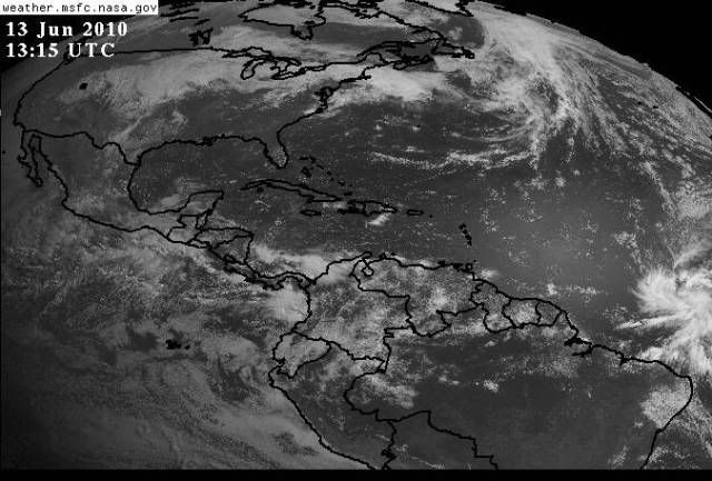
That's 7 hours old

And what's the matter? Don't forget Hurakan
Moderator: S2k Moderators


HURAKAN wrote:Gustywind wrote:And what's the matter? Don't forget Hurakanthose who want to compared it 7 hours ago...
LOL
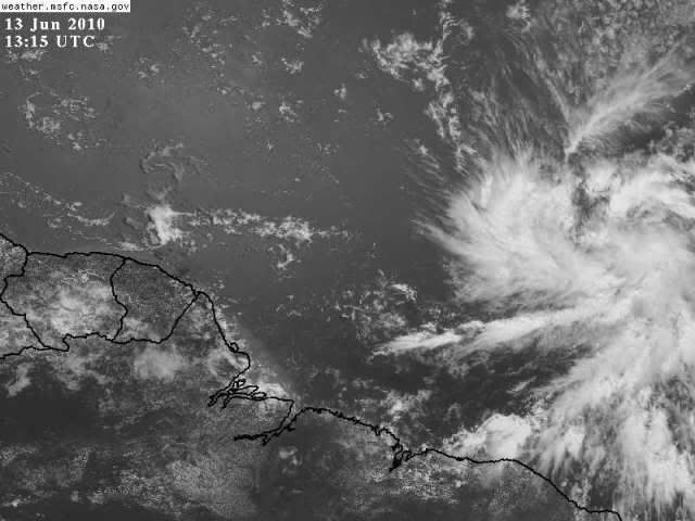
More current


KWT wrote:7hrs old, no it isn't!!
Remember the times are UTC, therefore the image Hurakan put up before of 12.15 UTC was actually just over an hour and a bit ago...


wxman57 wrote:WV loops shows strong WSW winds just NW of the disturbance that are already disrupting the outflow in that quadrant. It may not have a large time window for development.

lonelymike wrote:wxman57 wrote:WV loops shows strong WSW winds just NW of the disturbance that are already disrupting the outflow in that quadrant. It may not have a large time window for development.
I think I just heard screaming from Pensacola to Maine! Another hurricane dream crushed by wxman57
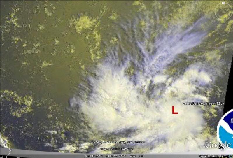
KWT wrote:I'm still not happy with the way the SAL layer seems to be drawing into the circulation from the northern side, you can even see where the convection is lacking at the moment.
I'd imagine given its in the ITCZ there should be decent mixing out but it may just slow things down if the trend carries on.
Still suspect we will get a depression out of this however...no real reason why it can't happen in the short term, of course past 48hrs other issues will probably slowly weaken the system again.


cycloneye wrote:KWT wrote:I'm still not happy with the way the SAL layer seems to be drawing into the circulation from the northern side, you can even see where the convection is lacking at the moment.
I'd imagine given its in the ITCZ there should be decent mixing out but it may just slow things down if the trend carries on.
Still suspect we will get a depression out of this however...no real reason why it can't happen in the short term, of course past 48hrs other issues will probably slowly weaken the system again.
Is not a big sal outbreak,but there is some to the north.
Users browsing this forum: No registered users and 35 guests