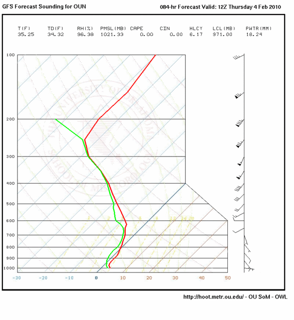
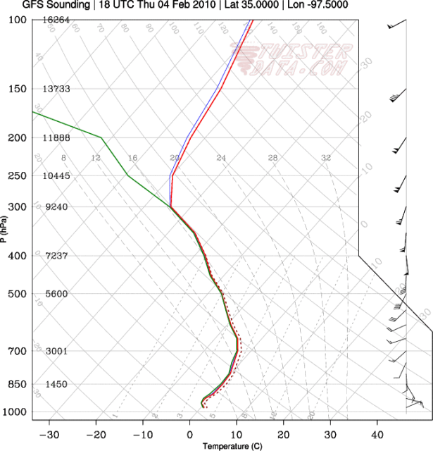
00z GFS skew-t output for the Norman, OK site (OUN) valid 12z Thursday morning:
Moderator: S2k Moderators
 The posts in this forum are NOT official forecast and should not be used as such. They are just the opinion of the poster and may or may not be backed by sound meteorological data. They are NOT endorsed by any professional institution or STORM2K.


vbhoutex wrote:Wow!! I echo Steve's comment. Even though I knew there were road closures during the storm and that some areas had gotten up to a foot of snow, I didn't know it was like that!! Thanks for posting the pics.


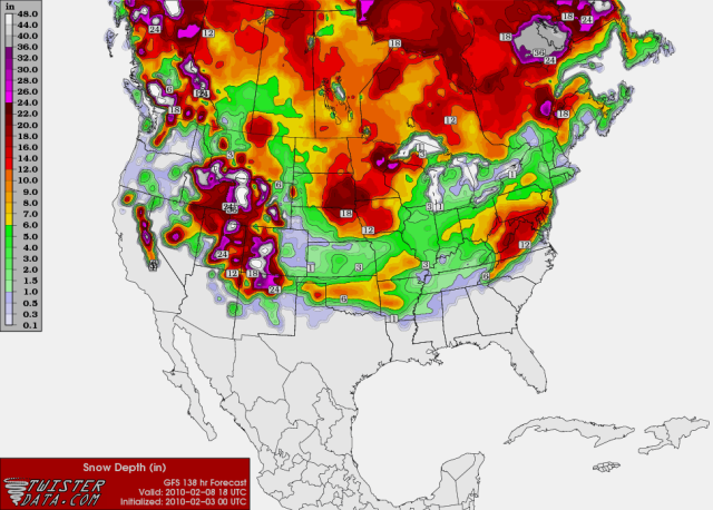
Extremeweatherguy wrote:The 12z GFS is showing 0.8" of new snow accumulation Thursday into Friday for OKC. So hmm, may be this storm will be a little more interesting than first thought. The GFS MOS is also getting colder with each run, showing Thursday only reaching 37F with an 89% chance of precipitation. If this trend continues, then I might have to take back my earlier comment about this event not being all that significant.
Thursday: Rain likely, possibly mixed with snow. Cloudy, with a high near 39. East wind between 9 and 13 mph. Chance of precipitation is 70%.
Thursday Night: A chance of rain before midnight, then a chance of rain and snow. Cloudy, with a low around 32. North northwest wind between 5 and 9 mph. Chance of precipitation is 50%.
Friday: A slight chance of rain and snow before 11am, then a slight chance of rain. Mostly cloudy, with a high near 47. Chance of precipitation is 20%.


Users browsing this forum: No registered users and 116 guests

