11 am Model Maps - Invest 90L
Moderator: S2k Moderators
Forum rules
The posts in this forum are NOT official forecasts and should not be used as such. They are just the opinion of the poster and may or may not be backed by sound meteorological data. They are NOT endorsed by any professional institution or STORM2K. For official information, please refer to products from the National Hurricane Center and National Weather Service.
- Stormsfury
- Category 5

- Posts: 10549
- Age: 53
- Joined: Wed Feb 05, 2003 6:27 pm
- Location: Summerville, SC
11 am Model Maps - Invest 90L
I really think the NW movement is being a little overdone by the tropical models ... as again, alluded to in another thread, the GFS may be overdoing the digging ... one other wildcard is an area located around 31ºN, 60ºW (looks like an ULL) which appears to be moving slowly W. That may try to interfere with 90L ... but if 90L outraces that area, on the SW'ern side of the ULL, there may be a s/w ridge that pokes up out of that, and that may drive 90L a little further west than that is being progged.


0 likes
-
Guest
- ameriwx2003
- Category 4

- Posts: 980
- Joined: Tue Jul 22, 2003 10:45 am
- Stormsfury
- Category 5

- Posts: 10549
- Age: 53
- Joined: Wed Feb 05, 2003 6:27 pm
- Location: Summerville, SC
- Stormsfury
- Category 5

- Posts: 10549
- Age: 53
- Joined: Wed Feb 05, 2003 6:27 pm
- Location: Summerville, SC
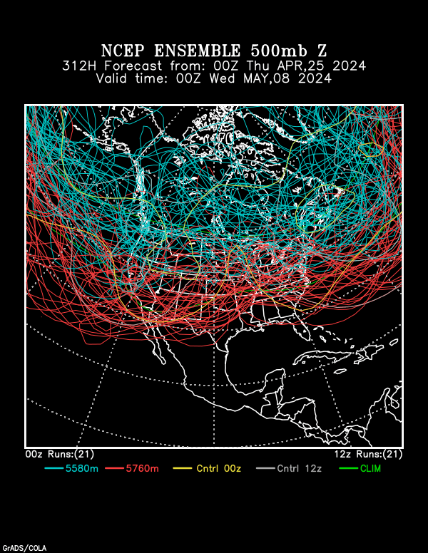
Latest ensemble means are supporting an idea of building the Bermuda High in the MR through retrogression (building westward). The idea of the ensembles are joining of the Bermuda High and the ridge currently in place over the Central States ... the general idea is to say ... "Bye, Bye .. East Coast Trough"
SF
SF
0 likes
I think what he means is that the high pressure ridge could bridge across the east coast, in essence re-enforcing the ridge and allowing the wave to come further westward. Certainly time will tell, but could make things interesting. Not trying to compare (but I will), Andrew made it to a position well north of Puerto Rico before being nudged WNW by a ridge, then W, and WSW as a result of high pressure building in from the NW. This wave is moving rather slowly so anything is possible, but what concerns me is when a system gets a ridge to bridge across it to the north, a system can find itself in a great environment for strengthening. We saw this with Mitch also, which was a classic, but a system of different origin and a "heat Ridge" that bridged to its north. That provided an excellent environment for intensification. Certainly not in this set of circumstances, and I mention it only because it shows the influence a strong ridge can have on a system. If it moves slowly the ridge will build in over next weekend. Cheers!!
0 likes
-
ColdFront77
-
grentz7721
- Category 1

- Posts: 319
- Age: 40
- Joined: Sun Apr 06, 2003 12:24 pm
- Location: Massillon, OH, US
- Contact:
Who is online
Users browsing this forum: Google Adsense [Bot] and 252 guests


