pojo wrote:Ouch, shear moved convection to the SW and rapidly dissipated it.
I dont think you will be flying into this one.
Moderator: S2k Moderators


pojo wrote:Ouch, shear moved convection to the SW and rapidly dissipated it.


cycloneye wrote:The big wave to its east sucked the heart from the TD.
wxman57 wrote:cycloneye wrote:The big wave to its east sucked the heart from the TD.
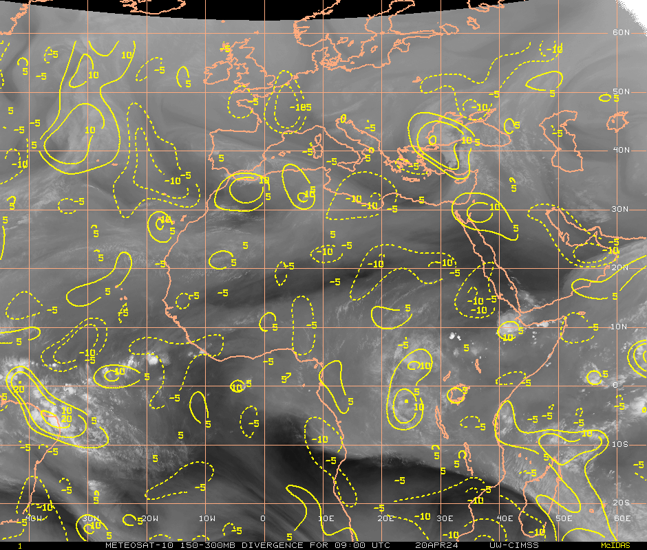
More like blew than sucked. You can loop a WV image and see the burst of air aloft moving away from the disturbance near the coast of Africa just sweep across the depression, tearing it apart. With such a big system to the east, and with continued outflow across TD 2, this may be the end.
george_r_1961 wrote:pojo wrote:Ouch, shear moved convection to the SW and rapidly dissipated it.
I dont think you will be flying into this one.

wxman57 wrote:cycloneye wrote:The big wave to its east sucked the heart from the TD.
More like blew than sucked. You can loop a WV image and see the burst of air aloft moving away from the disturbance near the coast of Africa just sweep across the depression, tearing it apart. With such a big system to the east, and with continued outflow across TD 2, this may be the end.


george_r_1961 wrote:wxman57 wrote:cycloneye wrote:The big wave to its east sucked the heart from the TD.
More like blew than sucked. You can loop a WV image and see the burst of air aloft moving away from the disturbance near the coast of Africa just sweep across the depression, tearing it apart. With such a big system to the east, and with continued outflow across TD 2, this may be the end.
I think dissipation has occured. I do not see anything there resembling a tropical cyclone.


clfenwi wrote:So... anyone care to predict/write their own the tag line for the 11 PM advisory? (5 PM tag line was ...DEPRESSION HAS NOT YET BECOME A TROPICAL STORM... )


brunota2003 wrote:clfenwi wrote:So... anyone care to predict/write their own the tag line for the 11 PM advisory? (5 PM tag line was ...DEPRESSION HAS NOT YET BECOME A TROPICAL STORM... )
Depression has weakened...perhaps.
Users browsing this forum: No registered users and 34 guests