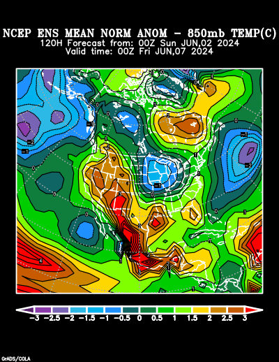
But on second thought, I see a healthy area in the East Pac.

Ok, it has zero support from what I see. Euro develops a system later, probably, if I had to guess, the system that sparked mild excitement in the Caribbean today.

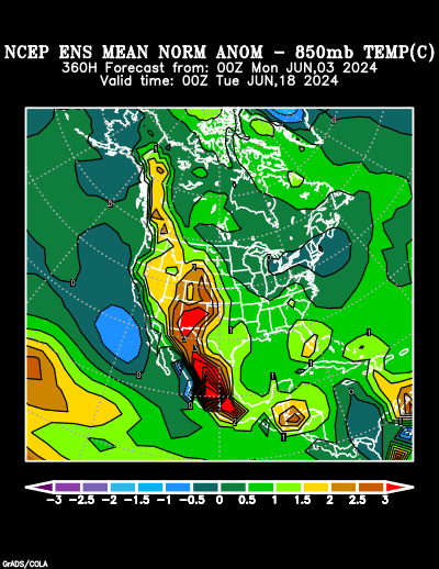
Ok, Rosa was 4 months later in the year, but a brief review of how the Pacific tropics can rain a lot on Houston,and even cause the San Jacinto River to burst into flames.
Sure we'd be missing the shallow cold surface airmass, but we could still have a boatload of mid and upper moisture and the remnant circulation above the tops of the Sierra Madre (what, about 700 mb?) and end the Houston drought disaster.
OK, the CMC is sort of famous for ersatz, spurious, phantom TCs, but it is also often the first model to see something. IIRC, it was first on Edouard.