2008 TCRs

This is the general tropical discussion area. Anyone can take their shot at predicting a storms path.

Moderator: S2k Moderators

Forum rules

The posts in this forum are NOT official forecasts and should not be used as such. They are just the opinion of the poster and may or may not be backed by sound meteorological data. They are NOT endorsed by any professional institution or STORM2K. For official information, please refer to products from the National Hurricane Center and National Weather Service.

Help Support Storm2K
Message
Author
User avatar
wxman57
Moderator-Pro Met
Moderator-Pro Met
Posts: 22984
Age: 67
Joined: Sat Jun 21, 2003 8:06 pm
Location: Houston, TX (southwest)

Re:

#121 Postby wxman57 » Sun Feb 08, 2009 8:55 am

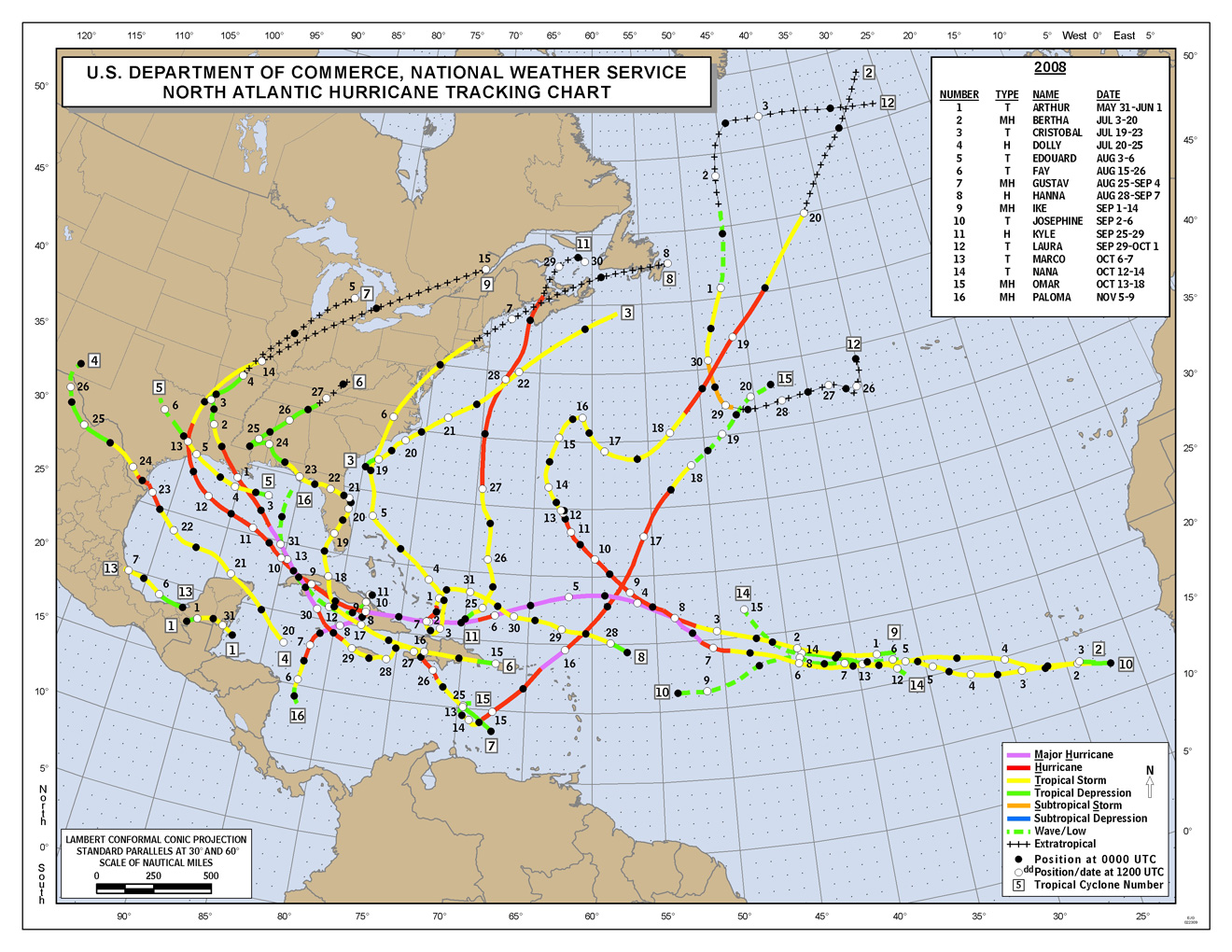
CrazyC83 wrote:Ike's TCR was recently updated (I just noticed it).

Damage increased to $28.2B total and 4 of the missing have been found alive. Best track was also adjusted slightly in and around Cuba.


U.S. damage up to $19.3 billion, though with the higher ration of uninsured damage because of all the surge damage, it's probably a good bit higher.
0 likes   

User avatar
cycloneye
Admin
Admin
Posts: 145625
Age: 68
Joined: Thu Oct 10, 2002 10:54 am
Location: San Juan, Puerto Rico

Re: 2008 TCRs=Tropical Storm Fay Report is up

#122 Postby cycloneye » Mon Feb 09, 2009 10:45 am

The last report of the 2008 Atlantic season is up at the first post of thread and that is the Tropical Storm Fay one (29 pages long).
0 likes   

Ed Mahmoud

Re: 2008 TCRs=Tropical Storm Fay Report is up

#123 Postby Ed Mahmoud » Mon Feb 09, 2009 10:50 am

So close, yet so far...

After passing north of Key West over the warm waters of Florida Bay, data from land-based Doppler radars and reconnaissance aircraft indicated Fay was becoming better organized as the vertical wind shear began to decrease. The storm made landfall along the southwestern Florida coast between Cape Romano and Everglades City at 0845 UTC 19 August with 55 kt winds. Shortly after landfall, a well-defined eye feature developed in both satellite and radar imagery, possibly due to the decreasing wind shear and increasing low-level frictional convergence. Despite land interaction over South Florida, Fay strengthened slightly and it is estimated that its peak intensity of 60 kt was achieved around 1800 UTC that same day when the center was near the western end of Lake Okeechobee. The eye feature remained apparent in radar imagery (Fig. 4) from 0929 UTC 19 August until 0212 UTC 20 August. Thereafter, Fay steadily weakened until the center reached the Atlantic waters off the east-central Florida coast late that day.
0 likes   

CrazyC83
Professional-Met
Professional-Met
Posts: 34002
Joined: Tue Mar 07, 2006 11:57 pm
Location: Deep South, for the first time!

#124 Postby CrazyC83 » Mon Feb 09, 2009 11:25 am

That is an increase from the operational estimates, but there was no observations supporting an upgrade to Hurricane Fay.
0 likes   

CrazyC83
Professional-Met
Professional-Met
Posts: 34002
Joined: Tue Mar 07, 2006 11:57 pm
Location: Deep South, for the first time!

#125 Postby CrazyC83 » Mon Feb 09, 2009 1:30 pm

2 more reports to go, both from the EPAC.
0 likes   

User avatar
cycloneye
Admin
Admin
Posts: 145625
Age: 68
Joined: Thu Oct 10, 2002 10:54 am
Location: San Juan, Puerto Rico

Re: 2008 TCRs

#126 Postby cycloneye » Tue Feb 10, 2009 4:51 pm

One of the two reports left in the EPAC side is out.Tropical Storm Julio report is up at the first post of thread.Only one report is left and that is Tropical Storm Cristina.
0 likes   

HurricaneBill
Category 5
Category 5
Posts: 3420
Joined: Sun Apr 11, 2004 5:51 pm
Location: East Longmeadow, MA, USA

Re: 2008 TCRs

#127 Postby HurricaneBill » Tue Feb 10, 2009 6:24 pm

What is the latest a report ever came out?
0 likes   

Derek Ortt

#128 Postby Derek Ortt » Tue Feb 10, 2009 6:26 pm

I think Erin 2007. That one took forever due to the debate as to its status over Oklahoma (still not universally accepted)
0 likes   

User avatar
cycloneye
Admin
Admin
Posts: 145625
Age: 68
Joined: Thu Oct 10, 2002 10:54 am
Location: San Juan, Puerto Rico

Re: 2008 TCRs

#129 Postby cycloneye » Wed Feb 18, 2009 9:40 am

The final report that was left to be released is anymore as the (EPAC) Tropical Storm Cristina report is up and posted at the first post of thread.
0 likes   

CrazyC83
Professional-Met
Professional-Met
Posts: 34002
Joined: Tue Mar 07, 2006 11:57 pm
Location: Deep South, for the first time!

#130 Postby CrazyC83 » Wed Feb 18, 2009 4:01 pm

Minor update with Paloma: the 131 kt sustained wind report was not at around 25m, but at 73m above sea level.
0 likes   

User avatar
cycloneye
Admin
Admin
Posts: 145625
Age: 68
Joined: Thu Oct 10, 2002 10:54 am
Location: San Juan, Puerto Rico

Re: 2008 TCRs

#131 Postby cycloneye » Wed Feb 25, 2009 8:11 pm

NHC closes the books on the Tropical Cyclone reports of 2008 in the Atlantic with the release of the graphic of all the systems.No unamed system was added.

Image

http://www.nhc.noaa.gov/2008atlan.shtml
0 likes   

User avatar
HURAKAN
Professional-Met
Professional-Met
Posts: 46086
Age: 38
Joined: Thu May 20, 2004 4:34 pm
Location: Key West, FL
Contact:

Re: 2008 TCRs

#132 Postby HURAKAN » Wed Feb 25, 2009 8:17 pm

0 likes   

JonathanBelles
Professional-Met
Professional-Met
Posts: 11430
Age: 35
Joined: Sat Dec 24, 2005 9:00 pm
Location: School: Florida State University (Tallahassee, FL) Home: St. Petersburg, Florida
Contact:

#133 Postby JonathanBelles » Thu Feb 26, 2009 1:08 pm

As I just posted on facebook.. " This goes to show that every state on the eastern seaboard from Texas to Maine can be effected by Tropical Cyclones. In 2008, every state on the coastline plus states all the way inland such as Ohio WERE effected by at least one Tropical Cyclone. Keep your eyes and ears open from late April to December."
0 likes   


Return to “Talkin' Tropics”

Who is online

Users browsing this forum: TomballEd and 52 guests