The posts in this forum are NOT official forecast and should not be used as such. They are just the opinion of the poster and may or may not be backed by sound meteorological data. They are NOT endorsed by any professional institution or

snippet.
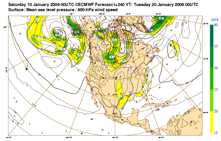
THE EXTENDED FORECAST IS VERY TRICKY DUE TO DISCREPANCIES IN THE
GLOBAL MODELS. PREVIOUS FORECASTS HAVE ADVERTISED MUCH COLDER WEATHER
IN STORE FOR NORTH TEXAS TOWARDS THE END OF NEXT WEEK. THE GFS
AMPLIFIES A RIDGE ALOFT OVER THE WEST COAST AND AS FAR NORTH INTO
ALASKA WHICH WILL ALLOW BITTER COLD ARCTIC AIR TO DROP DOWN INTO
THE CONUS. ONLY PROBLEM WITH THIS PATTERN IS THE POSITION OF THE
TROUGH DOWNSTREAM OF THE RIDGE CENTERED OVER THE EASTERN CONUS.
THIS IMPLIES MUCH OF THE COLD AIR WILL HEAD EAST OF NORTH TEXAS
INTO THE TENNESSEE VALLEY. CURRENT THINKING IS IT WILL BE COLD BUT
WILL SIDE WITH THE MORE PLAUSIBLE ECMWF/UKMET/CANADIAN SOLUTIONS.
THESE MODELS SUGGEST A PIECE OF ARCTIC AIR WILL ACTUALLY INVADE
NORTH TEXAS EARLIER IN THE WEEK AS A POSITIVELY TILTED TROUGH
MOVES THROUGH THE CENTRAL PLAINS MONDAY NIGHT. THIS SOLUTION MAKES
THE MOST SENSE IN REGARDS TO POSITIONING OF THE HIGH PRESSURE AND
SUBSEQUENT TROUGH OVER THE CONUS.
LATEST FORECAST WILL UNDERCUT MOS SIGNIFICANTLY FOR TUESDAY AND
WEDNESDAY AND WILL REFLECT THE ECMWF. FOR THE END OF NEXT
WEEK...WENT SLIGHTLY ABOVE MEX MOS NUMBERS AS THE COLDEST AIR IN
THE PAST 2 YEARS SEEMS UNLIKELY AS INDICATED BY THE GFS.