EWG, I would like to get excited about that but two things are bugging me:
1) It is the GFS past 144 hours. Yes, I know from time to time it can nail changes down late in the run but it is still not too reliable.
2) The 500mb flow depicted in the 12z GFS doesn't look conducive to bringing down arctic air. Canadian air? Yes. But question is how cold will the source regions be? Sure we will have more snowpack than before ... but it's all about the 500 mb flow and the source regions.
Southern Plains winter wx thread (2008-2009)
Moderator: S2k Moderators
Forum rules
 The posts in this forum are NOT official forecast and should not be used as such. They are just the opinion of the poster and may or may not be backed by sound meteorological data. They are NOT endorsed by any professional institution or STORM2K.

The posts in this forum are NOT official forecast and should not be used as such. They are just the opinion of the poster and may or may not be backed by sound meteorological data. They are NOT endorsed by any professional institution or STORM2K.
-
Portastorm

- Storm2k Moderator

- Posts: 9955
- Age: 63
- Joined: Fri Jul 11, 2003 9:16 am
- Location: Round Rock, TX
- Contact:
-
Ed Mahmoud
Re: Another round of arctic air to arrive in early January?
Portastorm wrote:EWG, I would like to get excited about that but two things are bugging me:
1) It is the GFS past 144 hours. Yes, I know from time to time it can nail changes down late in the run but it is still not too reliable.
2) The 500mb flow depicted in the 12z GFS doesn't look conducive to bringing down arctic air. Canadian air? Yes. But question is how cold will the source regions be? Sure we will have more snowpack than before ... but it's all about the 500 mb flow and the source regions.
For that matter, the 6 am 2 meter temps around Houston at the end of that are running ballpark 0ºC. Cooler than normal, but light freezes here are not unusual.
I will say, however, I found out my wife's Aunt (who is more like a cousin, as she is almost a year younger than my wife (big Mexican-American family, children spread over many decades in the family) and her husband and kids have had neither AC nor heat since Ike. I knew they lost part of the roof, just East of I-45 not far from Gallery Furniture, near the border of Aldine ISD and Houston ISD, but I found out they also lost the heat and AC. They finally got their insurance check this past week.
So even a light freeze is a bother for some people.
0 likes


-
Brent
- S2K Supporter

- Posts: 38778
- Age: 37
- Joined: Sun May 16, 2004 10:30 pm
- Location: Tulsa Oklahoma
- Contact:
Re: Another round of frigid air to arrive in early January?
Can't believe this hasn't been posted yet...
*dies*

*dies*
0 likes


-
Portastorm
- Storm2k Moderator
- Posts: 9955
- Age: 63
- Joined: Fri Jul 11, 2003 9:16 am
- Location: Round Rock, TX
- Contact:
Re: Another round of frigid air to arrive in early January?
Oh, that is one ugly model scenario! Should something like that verify, I can hear the pipes busting all across the southern half of Texas. 
That is consecutive GFS runs now (I'm only considering the 0z and 12z runs here) that show a major blast of arctic air and in this morning's 0z run at least the 500mb pattern looks slighly more conducive to bring the Polar Express into Southtown, USA.
Edit update as of 10:45 am Central time: The 12z GFS run is complete. No "Day After Tomorrow" scenario for the Southern Plains and Texas but the run does move up the Arctic air by about two days. The model now has the front moving through Texas at about 11 days out.
http://www.nco.ncep.noaa.gov/pmb/nwprod/analysis/namer/gfs/12/images/gfs_ten_264l.gif
0 likes
-
cctxhurricanewatcher

- Category 5

- Posts: 1206
- Joined: Sun Sep 12, 2004 8:53 pm
- Location: Corpus Christi, Texas
Re: Another round of frigid air to arrive in early January?
I hope we do get another cool down, real quick.
Something is VERY wrong outside today. I just got done putting a swing set together in 90 degree, May like weather.
I guess Easter will again be cooler than Christmas in a few months?
Something is VERY wrong outside today. I just got done putting a swing set together in 90 degree, May like weather.
I guess Easter will again be cooler than Christmas in a few months?
0 likes
-
JonathanBelles
- Professional-Met

- Posts: 11430
- Age: 35
- Joined: Sat Dec 24, 2005 9:00 pm
- Location: School: Florida State University (Tallahassee, FL) Home: St. Petersburg, Florida
- Contact:

Re: Another round of frigid air to arrive in early January?
During the Christmas Holiday one of my uncles is a "weatherman" least in his own mind he seemed to think that for us at least in the Texas area that January would be MUCH colder than it was in December he said much about five times. Now whether or not that was the egg nog talking who knows. Let's hope he's right. Yesterday's 83 degree weather sucked.
0 likes
Re: Another round of frigid air to arrive in early January?
WOAH 10-12 days out on the GFS 00 sure does look interesting. 
0 likes

Re: Another round of frigid air to arrive in early January?
Has this ever happened before? Currently in SW Louisiana. I would need some time to prepare for temps of 10-15 above 0. Please advise of possibility.
0 likes
-
josephtwyman
-
Portastorm
- Storm2k Moderator
- Posts: 9955
- Age: 63
- Joined: Fri Jul 11, 2003 9:16 am
- Location: Round Rock, TX
- Contact:
Re:
josephtwyman wrote:so, you are telling me that we will be close to being under freezing for the record we had in 1980's
If that particular model run scenario were to verify, the DFW metroplex would see at least 36 hours of temps in the teens. The Austin area would see roughly 48 hours of sub-freezing temps as well. Whether it is close to the freezes of 1983 or 1989 hard to say ... but certainly this would be a substantial event.
Saturday's 12z GFS run suggested something similar but not quite as dramatic. I'd wait a few more runs before getting too excited.
0 likes
-
Ed Mahmoud
Re: Another round of frigid air to arrive in early January?
6Z GFS has a cold front on the 7th and 2 meters temps in DFW of -7ºC on 10 January.
0 likes
-
josephtwyman
-
Stephanie

- S2K Supporter
- Posts: 23843
- Age: 63
- Joined: Thu Feb 06, 2003 9:53 am
- Location: Glassboro, NJ
Re: Another round of frigid air to arrive in early January?
Yeah, we're talking 13 days out but this looks interesting for 2/3's of the country;
http://www.nco.ncep.noaa.gov/pmb/nwprod ... _300.shtml
http://www.nco.ncep.noaa.gov/pmb/nwprod ... _312.shtml
http://www.nco.ncep.noaa.gov/pmb/nwprod ... _300.shtml
http://www.nco.ncep.noaa.gov/pmb/nwprod ... _312.shtml
0 likes
Re: Another round of frigid air to arrive in early January?
With 4 days left to go, here are the current Dec 08 average temps from locations across the U.S.
Overall, despite some cold days in the first part of the month, monthly avgs are running above normal from Texas east across the South and near normal in the Northeast.
Well below normal temps are found across the Northwest into the Midwest down to the Central Plains.
Overall, CPC Outlooks which forecasted above normal temps from the Southern Plains to the Southeast and below normal temps from the Northwest to the Plains and east were pretty much 'right on'...even accurately showing the below normal temp line into Oklahoma but quickly becoming above normal into Texas. The mains exception was the Northeast, which has been a bit warmer than the below normal forecast.
Temps shown are the average month-to-date readings from Dec 1 - Dec 27., with the departure from normal in ( ).
Boston 35.6 (+0.3)
New York 37.0 (+0.0)
Pittsburgh 32.2 (-0.7)
D.C. 39.3 (-0.6)
Charlotte 46.3 (+1.6)
Birmingham 49.3 (+3.3)
Tampa 65.9 (+2.4)
Miami 71.2 (+1.3)
New Orleans 57.0 (+4.3)
Jackson, MS 50.5 (+2.6)
Chicago 22.2 (-5.9)
Minnespolis 15.9 (-5.9)
Kansas City 28.8 (-2.8)
Oklahoma City 38.9 (-1.0)
Dallas 48.7 (+1.6)
Houston 56.0 (+2.0)
Denver 24.7 (-5.8)
Great Falls 15.1 (-9.6)
Seattle 36.5 (-4.3)
San Francisco 48.8 (-0.9)
Los Angeles 54.0 (-3.0)
Phoenix 55.9 (+0.3)
0 likes
Re: Another round of frigid air to arrive in early January?
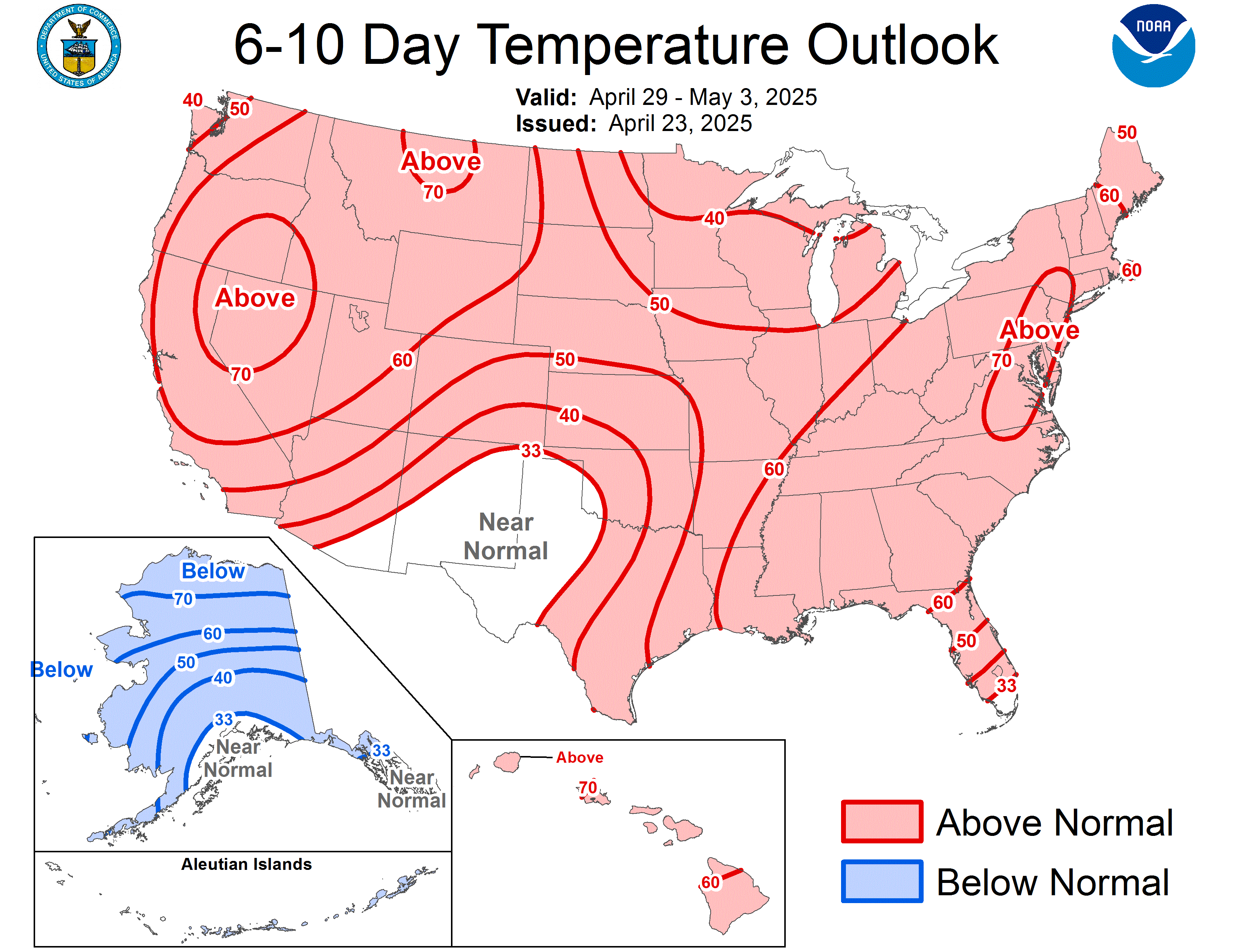
CPC Outlook for the first week of 2009...normal to above normal across most of U.S....any turn to colder weather may take place after the time shown. Any forecast needs to be viewed as having a margin of error, but there is no denying the CPC extended outlooks have been pretty 'on point' for the last 3-4 weeks...not popular mind you, but 'on point;
0 likes
-
Portastorm
- Storm2k Moderator
- Posts: 9955
- Age: 63
- Joined: Fri Jul 11, 2003 9:16 am
- Location: Round Rock, TX
- Contact:
Re: Another round of frigid air to arrive in early January?
The 12z GFS runs paints a very cold picture for much of the Central and Eastern U.S. from 216 hours (9 days) on out, slightly beyond the CPC outlook above.
0 likes
Re: Another round of frigid air to arrive in early January?
The CPC does show a transition to colder temps in their 8-14 day outlook and accompanying discussion, but they do not expect much of a pattern change for at least the time shown in the current 6-10 day product. The margin of error beyond that timeframe can result in models flip-flopping, esp. in terms of cold weather making it deep into the south...which can often become the battleground between arctic airmasses and high pressures ridges situated off the southeast coast.
Case in point...Dec 08....overall as a month, well below normal from Missouri north, above normal from Texas to Florida. The really cold air that lurked at times only a few hundred miles to the north and west was never was able to get into the Florida peninsula with any lasting vigor or extreme cold resulting. But were there model runs that showed arctic invasions into florida at times during the last month? Yep.
Case in point...Dec 08....overall as a month, well below normal from Missouri north, above normal from Texas to Florida. The really cold air that lurked at times only a few hundred miles to the north and west was never was able to get into the Florida peninsula with any lasting vigor or extreme cold resulting. But were there model runs that showed arctic invasions into florida at times during the last month? Yep.
Portastorm wrote:The 12z GFS runs paints a very cold picture for much of the Central and Eastern U.S. from 216 hours (9 days) on out, slightly beyond the CPC outlook above.
Last edited by jinftl on Sun Dec 28, 2008 12:14 pm, edited 1 time in total.
0 likes
Who is online
Users browsing this forum: No registered users and 206 guests