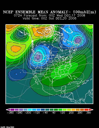
Given the overrunning signature and the expected evolution of the systems, my guess is that the boundary from little or now snow to a significant accumulation will be quite narrow. Hence, a small difference in the track--50 miles or so--could make the difference for some cities between little snow to a sizable accumulation. My guess is that while NYC could see several inches of snow before a changeover to sleet and rain, the proverbial equal chances of much less or much more applies there.
For now, my early thinking is as follows:
High Risk: 6" or More (10" or more is possible in many of those cities):
Albany, Boston, Concord, Hartford, Portland, Providence, Poughkeepsie, Toronto, Westfield (MA), Worcester
High Risk: 4" or More; Moderate Risk: 6" or More:
Binghamton, Burlington, Ottawa, White Plains
Some Chance: 4" or More:
Montreal, New York City
 The posts in this forum are NOT official forecast and should not be used as such. They are just the opinion of the poster and may or may not be backed by sound meteorological data. They are NOT endorsed by any professional institution or


