ATL: Tropical Depression Fay
Moderator: S2k Moderators
- Aquawind
- Category 5

- Posts: 6714
- Age: 62
- Joined: Mon Jun 16, 2003 10:41 pm
- Location: Salisbury, NC
- Contact:
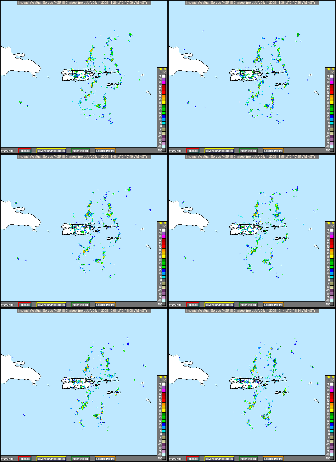
It's amazing how persistant the MLC has been and yet the LL circulation has still not stacked up. They are getting closer and 92L is looking better than ever. Looks to me like the MLC is still displaced to the east a bit..not by much though. The outflow is looking much better as well..hence the shear is weakening.
0 likes
the early morning visible loops are still showing a low level swirl (just west of Guadeloupe) well removed SW of the main convection...It's been my observation that an LLC and a MLC will tend to "meet in the middle" as they align...meaning that the eventual center could end up consolidating just SOUTHEAST of Puerto Rico....if that's the case, the system could limp across the big islands of the Greater Antilles instead of cruising by north of the islands.
Last edited by rockyman on Thu Aug 14, 2008 7:35 am, edited 1 time in total.
0 likes
- AtlanticWind
- S2K Supporter

- Posts: 1898
- Age: 67
- Joined: Sun Aug 08, 2004 9:57 pm
- Location: Plantation,Fla
Re: ATL: Invest 92L in Western Atlantic
DATE/TIME LAT LON CLASSIFICATION STORM
14/1145 UTC 17.9N 60.0W T1.5/1.5 92L
14/0545 UTC 16.7N 61.3W T1.0/1.0 92L
13/1745 UTC
14/1145 UTC 17.9N 60.0W T1.5/1.5 92L
14/0545 UTC 16.7N 61.3W T1.0/1.0 92L
13/1745 UTC
0 likes
Yeah the key is its held its convection to some degree now for 18-24hrs and so expect the LLC to slowly tuck under that deeper convection and when that happens development will probably kick off pretty readily...clearly upper conditions are now pretty decent as well.
IMO I'm gonna pull the trigger and think TD could occur in 12hrs.
IMO I'm gonna pull the trigger and think TD could occur in 12hrs.
Last edited by KWT on Thu Aug 14, 2008 7:39 am, edited 1 time in total.
0 likes
Re: ATL: Invest 92L in Western Atlantic
Could someone chime in here and offer me some guidance as to whether or not we are going to get hit with this here in the Turks & Caicos......?
There is nothing forthcoming here in the media as to what the possible threat may be.......
Many thanks
There is nothing forthcoming here in the media as to what the possible threat may be.......
Many thanks
0 likes
- HURAKAN
- Professional-Met

- Posts: 46084
- Age: 39
- Joined: Thu May 20, 2004 4:34 pm
- Location: Key West, FL
- Contact:
Loop: http://rammb.cira.colostate.edu/product ... 031815.GIF
Looking great. New convection developing.
Looking great. New convection developing.
0 likes
Yep this is really looking good now, hard to believe there isn't any circulation present under that strong MLC now given how strong the convection has been for 12hrs. I think recon will find something later on IMO...
Also T numbers now at 1.5 and also centered on the strong MLC and deep convection as well instead of the weak eddy/low on the SW side.
Also T numbers now at 1.5 and also centered on the strong MLC and deep convection as well instead of the weak eddy/low on the SW side.
0 likes
- DESTRUCTION5
- Category 5

- Posts: 4430
- Age: 44
- Joined: Wed Sep 03, 2003 11:25 am
- Location: Stuart, FL
- CourierPR
- Category 5

- Posts: 1336
- Age: 72
- Joined: Tue Aug 31, 2004 7:53 pm
- Location: Pompano Beach, Florida
Re: ATL: Invest 92L in Western Atlantic
Convection is blossoming. What a difference a day makes!
0 likes
Re: ATL: Invest 92L in Western Atlantic
Yea, just checked back in for a bit and it looks really good. The disturbance now has western inflow coming into the main convective mass, and that is a sure sign of a developing Low Level Circulation. Another thing to note (And the most impressive thing about the system) is the perfect outflow. Almost has a somewhat "buzzsaw" look, despite it being just a strong wave/developing TD. Shear seems to be not much of a factor anymore, as an anticyclone is starting to build over the system
0 likes
- ConvergenceZone
- Category 5

- Posts: 5241
- Joined: Fri Jul 29, 2005 1:40 am
- Location: Northern California
Re: ATL: Invest 92L in Western Atlantic
wow, looked at the models page, this is trending more and more offshore...perhaps all land masses will escape from this afterall...A week ago I would have said there's no possible way this would be a fish....(not saying that's guaranteed, but sure is trending in that direction)...
0 likes
Who is online
Users browsing this forum: No registered users and 38 guests


