HURAKAN wrote:
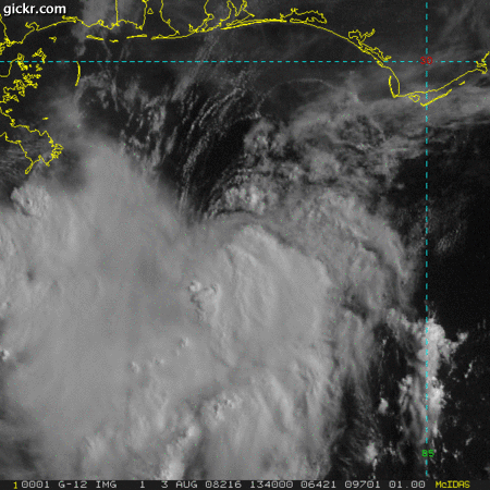
Notice that winds in the FL pan are onshore rather than offshore at present. This indicates, to me, that the system is still half-frontal in nature, with the northeast half being outflow-dominated. The southwestern side is becoming increasingly impressive, however, with a moist feed setting up across the whole breadth of the central Gulf.
I expect the current apparent egg-shaped center will be drawn southwest under the strongest updrafting towers.


