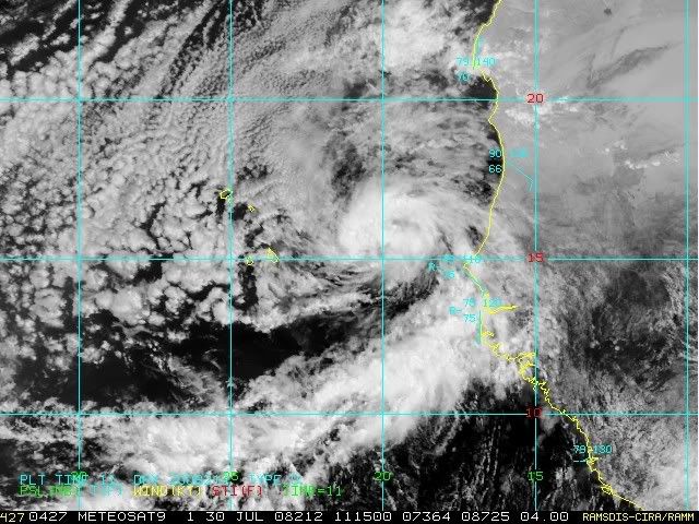
bvigal wrote:Looks good this morning! Any speculation as to why no num model data?
Yeah,its not normal that no model guidance has not comed out since it was tagged as a invest as two runs(00z and 06z haved passed without any plots.Lets see if the 12z comes finnally.But I think that we here in the NE Caribbean are safe from this as already is above 14n.Even if it takes a WSW track for a while,its so north already that unless something unexpected happens,the islands in the NE Caribbean will not see this.