I'm back to tracking ULL for excitement

U.S. & Caribbean Weather Discussions and Severe Weather Events

Moderator: S2k Moderators

Forum rules

The posts in this forum are NOT official forecast and should not be used as such. They are just the opinion of the poster and may or may not be backed by sound meteorological data. They are NOT endorsed by any professional institution or STORM2K.

Help Support Storm2K
Message
Author
User avatar
HURAKAN
Professional-Met
Professional-Met
Posts: 46086
Age: 38
Joined: Thu May 20, 2004 4:34 pm
Location: Key West, FL
Contact:

#41 Postby HURAKAN » Sun Jun 08, 2008 10:19 am

Image

Get ready.
0 likes   

MiamiensisWx

Re: I'm back to tracking ULL for excitement

#42 Postby MiamiensisWx » Sun Jun 08, 2008 10:28 am

How can you even issue watches or warnings for an upper level feature? Tropical cyclogenesis occurs at the lower levels, where the formation of a defined low level circulation occurs.
0 likes   

User avatar
cycloneye
Admin
Admin
Posts: 145313
Age: 68
Joined: Thu Oct 10, 2002 10:54 am
Location: San Juan, Puerto Rico

Re: I'm back to tracking ULL for excitement

#43 Postby cycloneye » Sun Jun 08, 2008 10:35 am

:uarrow: Is only a snark/joke. :)
0 likes   

psyclone
S2K Supporter
S2K Supporter
Posts: 4762
Joined: Wed Aug 24, 2005 9:04 pm
Location: palm harbor fl

#44 Postby psyclone » Sun Jun 08, 2008 10:36 am

Miami, he's just having fun during this dry spell with an upper level low. I have been loving it. the graphics are great. on a more serious note TBW seems quite bullish on convection firing on the west coast of Fl as a result of this feature and seabreeze collisions later today.
0 likes   

User avatar
AnnularCane
S2K Supporter
S2K Supporter
Posts: 2862
Joined: Thu Jun 08, 2006 9:18 am
Location: Wytheville, VA

Re:

#45 Postby AnnularCane » Sun Jun 08, 2008 10:39 am

KWT wrote:haha oh dear we really are desperate for some sort of tropical activity!
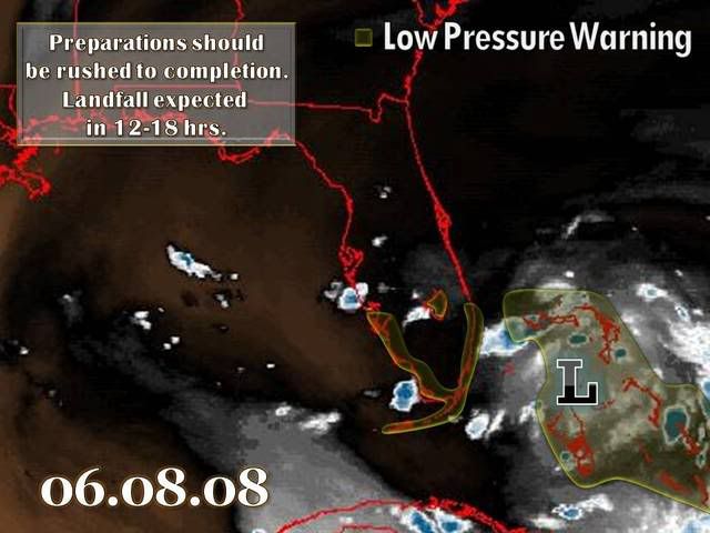
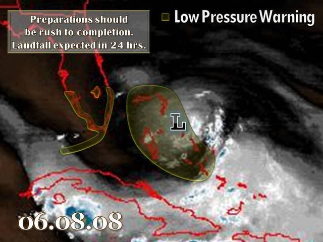
Cool image though!


I don't want to think of what it will be like in here if nothing else happens until August. :lol:
0 likes   

User avatar
HURAKAN
Professional-Met
Professional-Met
Posts: 46086
Age: 38
Joined: Thu May 20, 2004 4:34 pm
Location: Key West, FL
Contact:

Re: I'm back to tracking ULL for excitement

#46 Postby HURAKAN » Sun Jun 08, 2008 10:43 am

MiamiensisWx wrote:How can you even issue watches or warnings for an upper level feature? Tropical cyclogenesis occurs at the lower levels, where the formation of a defined low level circulation occurs.


If you read in the previous page, we have been joking and/or preparing for the season ahead. We're just kidding.

By the way, I think you know there is no "Low Pressure Warning!!!"
0 likes   

MiamiensisWx

Re: I'm back to tracking ULL for excitement

#47 Postby MiamiensisWx » Sun Jun 08, 2008 10:45 am

Oh, I'm thoroughly aware of the fact that it is a parody before I even opened the thread - it still seemed a little ridiculous to me, but to each his own.

Regardless, as I mentioned on another site's thread involving the same upper low, strong upper level divergence has been shearing any SHRA/convection. The lack of low level convergence will not sustain any updrafts to result in further convection. Overall, even if convergence was sufficient, it would have remained an upper low. I do concur that it keeps the precip chances alive in southern Florida; I'm tired of days watching low level cumulus with no rain in sight because of the capping inversion. This upper low should finally erode the cap because of mid level cooling, as mentioned in the NWS Miami AFD.
0 likes   

User avatar
Recurve
Category 5
Category 5
Posts: 1640
Joined: Tue Aug 16, 2005 8:59 pm
Location: St. Petersburg, FL

Re: I'm back to tracking ULL for excitement

#48 Postby Recurve » Sun Jun 08, 2008 1:04 pm

MiamiensisWx wrote:Oh, I'm thoroughly aware of the fact that it is a parody before I even opened the thread - it still seemed a little ridiculous to me, but to each his own.

Regardless, as I mentioned on another site's thread involving the same upper low, strong upper level divergence has been shearing any SHRA/convection. The lack of low level convergence will not sustain any updrafts to result in further convection. Overall, even if convergence was sufficient, it would have remained an upper low. I do concur that it keeps the precip chances alive in southern Florida; I'm tired of days watching low level cumulus with no rain in sight because of the capping inversion. This upper low should finally erode the cap because of mid level cooling, as mentioned in the NWS Miami AFD.


We can only hope. Tiny showers have been streaming in from the east but coverage has been very low.

From KWFO discussion:

...OUR MORNING SOUNDING REVEALS CONSIDERABLE COOLING OVER
THE LAST 24 HOURS BETWEEN 700 AND 500 MB...WITH A DEEP EASTERLY FLOW
PROVIDING AMPLE LOW LEVEL MOISTURE (PWAT 1.42 INCHES). OUTSIDE OF A
SHALLOW 1 DEGREE C INVERSION BASED AT 800 MB...OUR ATMOSPHERE IS
MODERATELY UNSTABLE.

.SHORT TERM (REST OF TODAY)...
THERE ARE MIXED SIGNALS ON WHETHER CLOUD LINES WILL BECOME
CONVECTIVELY ACTIVE NEAR THE ISLAND CHAIN THIS AFTERNOON AND
EVENING. FORECAST SOUNDINGS SHOW A GRADUAL INCREASE IN LOW LEVEL
MOISTURE ALONG WITH SOME BACKING OF THE LOW AND MID LEVEL
FLOW...WHICH WOULD ENHANCE THE LIKELIHOOD OF CLOUD LINES TO FORM.
HOWEVER...A COUPLE OF POTENTIAL INHIBITORS ARE THE LOW LEVEL STABLE
LAYER AND WINDS BEING A TAD TOO FRESH IN THE LOW LEVELS. LOOKING
UPSTREAM AT THE NASSAU (MYNN) SOUNDING...LOW LEVEL MOISTENING HAS
OCCURRED OVER THE LAST 24 HOURS AND THE EASTERLY TRAJECTORY SHOULD
ADVECT ADDITIONAL INTO OUR REGION. FURTHERMORE...SCATTERED SHOWERS
HAVE ALREADY IMPACTED THE UPPER KEYS OVER THE LAST HOUR OR SO. WITH
THAT IN MIND...WILL MAINTAIN LOW CHANCE 30 PERCENT POPS
WITH HIGH TEMPERATURES IN THE UPPER 80S. SINCE THE CURRENT FORECAST
APPEARS TO BE ON TRACK...NO ADJUSTMENTS ARE PLANNED.


I'm trying to decide whether to put the shutters up.

:lol:
0 likes   

User avatar
Category 5
Category 5
Category 5
Posts: 10074
Age: 35
Joined: Sun Feb 11, 2007 10:00 pm
Location: New Brunswick, NJ
Contact:

Re: I'm back to tracking ULL for excitement

#49 Postby Category 5 » Sun Jun 08, 2008 1:11 pm

Man, you guys really need rain don't you. :eek:

But wouldn't this thread belong in the USA Weather forum? :wink:
0 likes   

User avatar
feederband
S2K Supporter
S2K Supporter
Posts: 3423
Joined: Wed Oct 01, 2003 6:21 pm
Location: Lakeland Fl

Re: I'm back to tracking ULL for excitement

#50 Postby feederband » Sun Jun 08, 2008 2:14 pm

Category 5 wrote:Man, you guys really need rain don't you. :eek:

But wouldn't this thread belong in the USA Weather forum? :wink:


Test run... 8-)
0 likes   

User avatar
HURAKAN
Professional-Met
Professional-Met
Posts: 46086
Age: 38
Joined: Thu May 20, 2004 4:34 pm
Location: Key West, FL
Contact:

#51 Postby HURAKAN » Sun Jun 08, 2008 2:47 pm

Image
0 likes   

User avatar
feederband
S2K Supporter
S2K Supporter
Posts: 3423
Joined: Wed Oct 01, 2003 6:21 pm
Location: Lakeland Fl

#52 Postby feederband » Sun Jun 08, 2008 2:50 pm

Thinking about throwing a ULL party tonite...
0 likes   

flwxwatcher
Category 4
Category 4
Posts: 926
Joined: Wed May 16, 2007 3:35 pm
Location: Central Florida

Re:

#53 Postby flwxwatcher » Sun Jun 08, 2008 3:23 pm

feederband wrote:Thinking about throwing a ULL party tonite...

:band:
0 likes   

Cyclone1
Category 5
Category 5
Posts: 2739
Age: 33
Joined: Tue Jun 12, 2007 12:03 pm
Location: Florida

#54 Postby Cyclone1 » Sun Jun 08, 2008 6:08 pm

*boards up windows*
0 likes   

JonathanBelles
Professional-Met
Professional-Met
Posts: 11430
Age: 35
Joined: Sat Dec 24, 2005 9:00 pm
Location: School: Florida State University (Tallahassee, FL) Home: St. Petersburg, Florida
Contact:

#55 Postby JonathanBelles » Sun Jun 08, 2008 6:12 pm

LOL Sandy!!!!
0 likes   

User avatar
srainhoutx
S2K Supporter
S2K Supporter
Posts: 6919
Age: 67
Joined: Sun Jan 14, 2007 11:34 am
Location: Haywood County, NC
Contact:

Re:

#56 Postby srainhoutx » Sun Jun 08, 2008 6:20 pm

Cyclone1 wrote:*boards up windows*

:roflmao: :roflmao: :roflmao:
0 likes   

MiamiensisWx

#57 Postby MiamiensisWx » Sun Jun 08, 2008 6:23 pm

I think I'll move one of my potted plants indoors. A leaf, anther, or stigma may ruffle from 1 mph wind gusts. The floral bracts may be seriously impacted from condensation or 0.0000001 inch of precip.
0 likes   

Rainband

Re: I'm back to tracking ULL for excitement

#58 Postby Rainband » Sun Jun 08, 2008 6:28 pm

you guys are bored :lol:
0 likes   

MiamiensisWx

Re: I'm back to tracking ULL for excitement

#59 Postby MiamiensisWx » Sun Jun 08, 2008 6:29 pm

Rainband wrote:you guys are bored

Precip starved, staved, and ravished

Honestly, I thought this thread was a frivolous and slightly silly exercise itself.
0 likes   

User avatar
cycloneye
Admin
Admin
Posts: 145313
Age: 68
Joined: Thu Oct 10, 2002 10:54 am
Location: San Juan, Puerto Rico

Re: I'm back to tracking ULL for excitement

#60 Postby cycloneye » Sun Jun 08, 2008 6:34 pm

Rainband wrote:you guys are bored :lol:


Even the models dont show anything in the near future and that is why even an upper low is fun. :)
0 likes   


Return to “USA & Caribbean Weather”

Who is online

Users browsing this forum: No registered users and 9 guests