Arthur's remnents near the BOC
Moderator: S2k Moderators
-
curtadams
- S2K Supporter

- Posts: 1122
- Joined: Sun Aug 28, 2005 7:57 pm
- Location: Orange, California
- Contact:
While it merits an invest, development is very unlikely. CMC and UKM keep it over land with a turn to the south. http://moe.met.fsu.edu/cyclonephase/ GFS and NOGAPS move it out into the BOC but they don't develop it so I assume they predict worsening upper air conditions.
Incidentally, being over water is part of the definition the NHC uses for a tropical cyclone so it won't get upgraded over land, period. They refused to upgrade a short-lived TD in Texas in 2006 IIRC because the LLC was (barely) inland.
Incidentally, being over water is part of the definition the NHC uses for a tropical cyclone so it won't get upgraded over land, period. They refused to upgrade a short-lived TD in Texas in 2006 IIRC because the LLC was (barely) inland.
0 likes
- lrak
- S2K Supporter

- Posts: 1770
- Age: 59
- Joined: Thu Jun 21, 2007 2:48 pm
- Location: Corpus Christi, TX
Re: 90L=New Special Tropical Disturbance Statement on page 11
Last I checked (two days ago) all the models were saying NE Florida, what happened? Not wishing anything but drought relief for Florida and S. Texas. And it still looks like the center is not as far inland as they have it. IMO it looks like its right over Chetumal?
0 likes
- cycloneye
- Admin

- Posts: 149843
- Age: 69
- Joined: Thu Oct 10, 2002 10:54 am
- Location: San Juan, Puerto Rico
Re: INVEST 90L Models Thread
12z GFS at 24 Hours Brushing the coast.
12z GFS at 66 Hours Coast of BOC low gone.A new low shows up just off the Belize coast.
12z GFS at 66 Hours Coast of BOC low gone.A new low shows up just off the Belize coast.
0 likes
- WeatherNLU
- Tropical Storm

- Posts: 218
- Joined: Fri Aug 29, 2003 12:50 pm
-
Aric Dunn
- Category 5

- Posts: 21238
- Age: 43
- Joined: Sun Sep 19, 2004 9:58 pm
- Location: Ready for the Chase.
- Contact:
Re: 90L=New Special Tropical Disturbance Statement on page 11
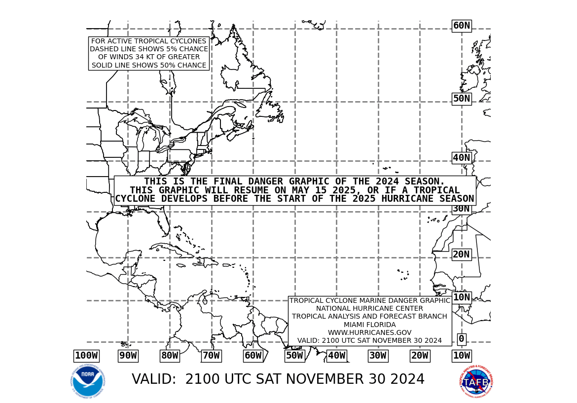
lebron23 wrote:http://www.nhc.noaa.gov/tafb_latest/danger_atl_latestBW.gif
interesting that cone is fairly far north ..
0 likes
- jasons2k
- Storm2k Executive

- Posts: 8290
- Age: 52
- Joined: Wed Jul 06, 2005 12:32 pm
- Location: The Woodlands, TX
Re: 90L=New Special Tropical Disturbance Statement on page 11
Reminder:
This is the active storms forum. We don't allow chat in this forum. I will delete the chat from this thread. Stick to the storms in this forum and use the PM feature if there is a concern.
Thanks.
This is the active storms forum. We don't allow chat in this forum. I will delete the chat from this thread. Stick to the storms in this forum and use the PM feature if there is a concern.
Thanks.
0 likes
Re: 90L=New Special Tropical Disturbance Statement on page 11
Looking at visible imagery, it looks like it's looks lost some of its organization again. The LLC seems to be near 19N 89W and moving WNW. While, most of the deep convection appears to be associated with the MLC spinning around the northern coast of Belize.
http://www.ssd.noaa.gov/goes/flt/t1/loop-vis.html
http://www.ssd.noaa.gov/goes/flt/t1/loop-vis.html
Last edited by Thunder44 on Sat May 31, 2008 11:24 am, edited 1 time in total.
0 likes
-
Cryomaniac
- Category 5

- Posts: 1289
- Joined: Tue Aug 15, 2006 2:26 pm
- Location: Newark, Nottinghamshire, UK
- Contact:
This isn't aimed at anyone, since I'm not a mod, but shouldn't nearly all of these posts have disclaimers?
The following is the opinion of Cryomaniac, and is not based on any evidence, meteorological, economic or otherwise, and as such should not be used for any purpose
I think this could develop in the BOC, since it is holding up pretty well over land. It could easily become Arthur, but clearly not yet.
0 likes
-
jaxfladude
- Category 5

- Posts: 1249
- Joined: Wed Aug 24, 2005 9:36 pm
- Location: Jacksonville, Fla
Re: INVEST 90L=New Special Tropical Disturbance Statement
Thunder44 wrote:So I wonder now, if they are going to task a recon to go in there on Sunday, assuming it does go back out into the BOC.
as of right now... yes...... there still is plenty of time though.
0 likes
Re: 90L=New Special Tropical Disturbance Statement on page 11
Thunder44 wrote:Looking at visible imagery, it looks like it's looks lost some of its organization again. The LLC seems to be near 19N 89W and moving WNW. While, most of the deep convection appears to be associated with the MLC spinning around the northern coast of Belize.
http://www.ssd.noaa.gov/goes/flt/t1/loop-vis.html
I still see it near 18.2 N & 88.8W, not as much separation
0 likes
- WeatherNLU
- Tropical Storm

- Posts: 218
- Joined: Fri Aug 29, 2003 12:50 pm
-
jaxfladude
- Category 5

- Posts: 1249
- Joined: Wed Aug 24, 2005 9:36 pm
- Location: Jacksonville, Fla
Re: Re:
Aric Dunn wrote:jaxfladude wrote:Still waiting for nothing......
hardly call it nothing ... lol
I need some heavy tropical precipitation soon or else parts of NE Florida(well alot of the US mainland) may be burning again this year....send some of that heavy tropical precipitation my way please....
Last edited by jaxfladude on Sat May 31, 2008 11:35 am, edited 1 time in total.
0 likes
Who is online
Users browsing this forum: No registered users and 56 guests


