IDQ20032
Australian Government Bureau of Meteorology
Queensland
TOP PRIORITY FOR IMMEDIATE BROADCAST
SEVERE WEATHER WARNING
for Damaging Winds and Flash Flooding
For people in the following forecast districts:
North Tropical Coast and Tablelands;
Herbert and Lower Burdekin;
Central Highlands and Coalfields;
Central Coast and Whitsundays;
Capricornia;
Wide Bay and Burnett;
Southeast Coast.
Issued at 11:10 pm on Monday 11 February 2008
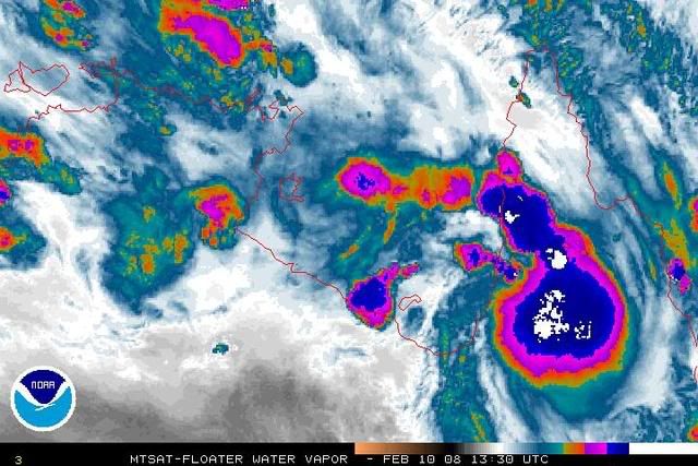
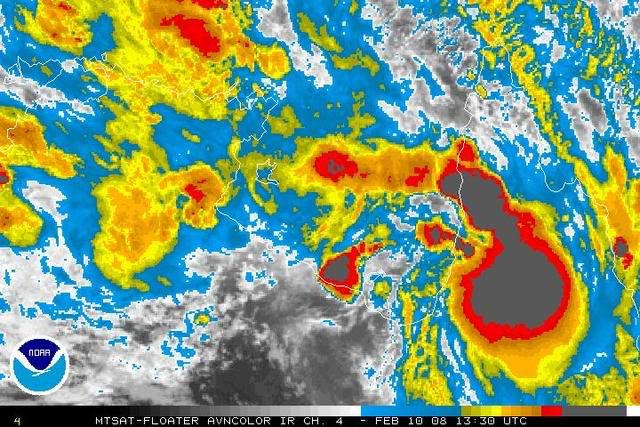
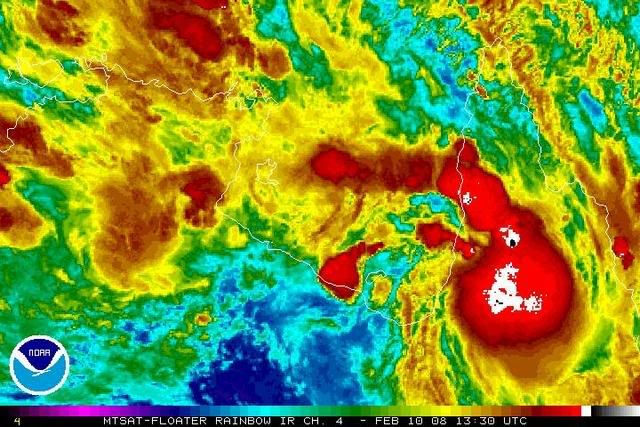
Synoptic situation: At 10 pm the monsoon trough lay across northern Queensland
with a 997 hPa low located south of Charters Towers. The low is moving southeast
and is expected to be located between Emerald and Rockhampton early Tuesday
morning, and inland from Hervey Bay on Tuesday night.
The low is expected to remain an intense system as it moves rapidly towards the
southeast. Very heavy rainfall is likely, both along the coast and extending
inland to the path of centre of the low. Rainfall rates of up to 100 mm per hour
have been observed in convective bands over inland parts of the Burdekin
district in the past few hours.
Locally damaging wind gusts up to 90 km/h are also expected with the system,
particularly on the eastern side. Damaging westerly wind gusts can also be
expected to develop on the coastal side of the ranges between Cairns and
Townsville on Tuesday morning.
Conditions have eased in the Northern Goldfields and Upper Flinders district and
the warning is now cancelled for this area.
The State Emergency Service advises that people in the affected area should:
- seek shelter, indoors where possible, and never under trees.
- secure outdoor items.
- beware of fallen trees and powerlines.
- avoid driving, walking or riding through flood waters.
The next warning is due to be issued by 5 am EST Tuesday.
This warning is also available through TV and Radio broadcasts; the Bureau's
website at
http://www.bom.gov.au or call 1300 659 219. The Bureau and State Emergency
Service would appreciate this warning being broadcast regularly.