Sanibel wrote:There's definitely a circulation there. I would expect it to continue spinning and form further west. Should start blooming convection as the SST's force it.
That enormous wave (Is it really as big as it seems to be?) behind it appears to be overtaking it rapidly. How will the two systems interact? Will they break each oher up?
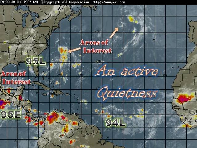
GOES East Rainbow