


Pearl River wrote:Definition of Category 5 from the NHC site:Category Five Hurricane:
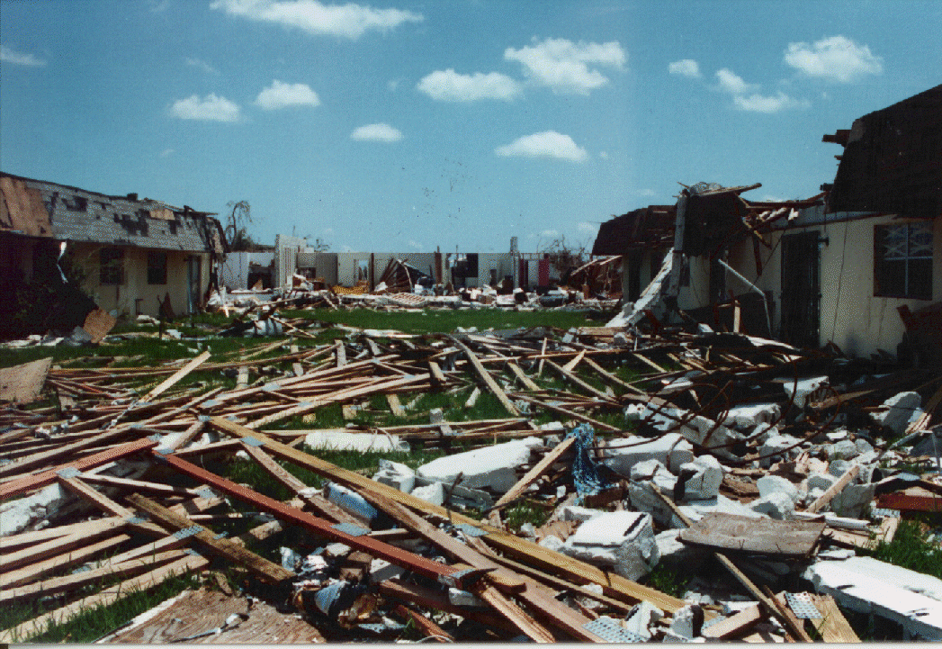
Winds greater than 155 mph (135 kt or 249 km/hr). Storm surge generally greater than 18 ft above normal. Complete roof failure on many residences and industrial buildings. Some complete building failures with small utility buildings blown over or away. All shrubs, trees, and signs blown down. Complete destruction of mobile homes. Severe and extensive window and door damage. Low-lying escape routes are cut by rising water 3-5 hours before arrival of the center of the hurricane. Major damage to lower floors of all structures located less than 15 ft above sea level and within 500 yards of the shoreline. Massive evacuation of residential areas on low ground within 5-10 miles (8-16 km) of the shoreline may be required. Only 3 Category Five Hurricanes have made landfall in the United States since records began: The Labor Day Hurricane of 1935, Hurricane Camille (1969), and Hurricane Andrew in August, 1992. The 1935 Labor Day Hurricane struck the Florida Keys with a minimum pressure of 892 mb--the lowest pressure ever observed in the United States. Hurricane Camille struck the Mississippi Gulf Coast causing a 25-foot storm surge, which inundated Pass Christian. Hurricane Andrew of 1992 made landfall over southern Miami-Dade County, Florida causing 26.5 billion dollars in losses--the costliest hurricane on record.
It does not state there is total building devestation. We also don't know the exact area where that house was located, along with the landscape.
It also says all trees blown down by the wind, but that picture does not have all trees down.


