wxman57 wrote:Matt-hurricanewatcher wrote:wxman57 wrote:
There may not be an LLC tomorrow, either. But I think that, in this case, the strong model agreement is partly because the models really DO have a good "center" to track. They're tracking the low-mid level vorticity (spin) center. That's fairly well-established and embedded in the low to mid-level flow. There is plenty of model agreement that this vorticity center will track toward NE Florida over the weekend, reaching the coast on Sunday, whether or not an LLC develops beneath it. It's unlikely that any LLC would be able to survive unless it's under this vorticity center, so I would trust the models which look at mid-level steering and are taking it WNW.
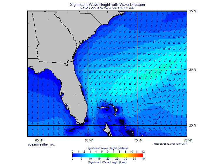
With so much dry air and wind shear, I'm wondering if it'll even mean much rain for FL or GA. Might not be much of a rain maker until its moisture tracks up the front across the northeast U.S.
I agree but a report from vortex shows that there is west-southwest winds to the south of the low. So it could be at the surface. Do I expect it to be strong on. Maybe a subtropical like system maybe maxing at no more then 40 knots. Then I expect it to turn to the northwest then north as the trough/jet stream at around 95-97 reinforces the trough/long wave over the northern east coast/Pa and great lake area. Which should weaken the high to the north. Yes theres dry air but I'v seen many a system develop with a ull to its west. Grace,Fay,Bill to name a few.
What's "vortex"? I've been looking at surface plots of all ships/buoys/land stations in the area all day and see no evidence of any LLC, but pressures continue to fall in the area, down about 4-5 mb since yesterday. With convection falling off now, I'm becoming less concerned that it'll be anything more than a weak surface low at landfall.
"Vortex" is our local weatherman's radar image/satellite image visual modeling program here in town. It shows a moderate to weak low crossing central Florida this weekend dumping lots of rain on Sunday.
If that's what is being referred to, then perhaps we should wait for the "True View" and "SuperDooperHDVortexViperETC" models at the 11 pm news.
No slam intended but I'm not getting excited yet. If the lower level circulation survives the night and intensifies, then yeah, we should see something tommorrow night.
Otherwise, it's just going to rain.


