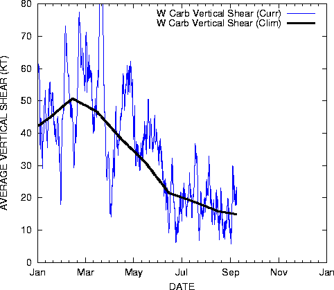
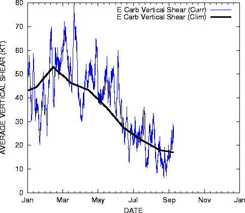
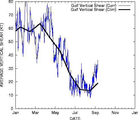
The Gfs,Ukmet,Nogaps to a lesser cmc all show a break off of lowing of the pressure over the BOC. Could be a low pressure that could develop...Its likely to be cold core because of the high shear.
I know that it will not develop...
http://moe.met.fsu.edu/cgi-bin/gfstc2.c ... =Animation
Possible energy into the BOC?
Moderator: S2k Moderators
Forum rules

The posts in this forum are NOT official forecasts and should not be used as such. They are just the opinion of the poster and may or may not be backed by sound meteorological data. They are NOT endorsed by any professional institution or STORM2K. For official information, please refer to products from the National Hurricane Center and National Weather Service.


-
MiamiensisWx
-
CHRISTY
-
Weatherfreak000
Obiviously. SST's support the formation of a tropical system in the BOC. And if shear supports it then that is good.
However, hybrid type systems as we all know need time. And time is usually always a factor against storms forming in the BOC considering it's a fairly small body of water.
Given that, I highly doubt any formation there except for well defined tropical waves with tight centers. Isn't that kind of obvious though?
0 likes
-
CHRISTY
-
JonathanBelles
- Professional-Met

- Posts: 11430
- Age: 35
- Joined: Sat Dec 24, 2005 9:00 pm
- Location: School: Florida State University (Tallahassee, FL) Home: St. Petersburg, Florida
- Contact:
-
SouthFloridawx

- S2K Supporter

- Posts: 8346
- Age: 47
- Joined: Tue Jul 26, 2005 1:16 am
- Location: Sarasota, FL
- Contact:
Re: Possible energy into the BOC?
Matt-hurricanewatcher wrote:The Gfs,Ukmet,Nogaps to a lesser cmc all show a break off of lowing of the pressure over the BOC. Could be a low pressure that could develop...Its likely to be cold core because of the high shear.
I know that it will not develop...
http://moe.met.fsu.edu/cgi-bin/gfstc2.c ... =Animation
Matt do not forget to check this site:
http://moe.met.fsu.edu/cyclonephase/
0 likes

-
Matt-hurricanewatcher
-
Weatherfreak000
-
Matt-hurricanewatcher
Here you go...With all this shear around maybe not a cyclone but we will see.
http://moe.met.fsu.edu/cyclonephase/gfs ... 8/132.html
http://moe.met.fsu.edu/cyclonephase/gfs ... 8/132.html
0 likes

-
spinfan4eva
- Category 1

- Posts: 295
- Joined: Tue Aug 23, 2005 1:27 am
- Location: Jacksonville, Florida
- Contact:
boca_chris wrote:I think sometime in August will be our first -
But August - October will be rather active.
Hmmm, if you are right, I think people here will go crazy...Especially after last year! Expect peoples Dudd Season alarms to go off. We must keep up with 2005
Code: Select all
1 Tropical Storm ARLENE  08-13 JUN  60  30  -
2 Tropical Storm BRET  28-30 JUN  35  1002  -
3 Hurricane CINDY  03-07 JUL  65  992  1
4 Hurricane DENNIS  05-13 JUL  130  930  4
5 Hurricane EMILY  11-21 JUL  135  929  4
6 Tropical Storm FRANKLIN  21-29 JUL  60  997  -
7 Tropical Storm GERT  23-25 JUL  40  1005  -
8 Tropical Storm HARVEY  02-08 AUG  55  994  -
0 likes
Who is online
Users browsing this forum: Google Adsense [Bot], hurricanes1234, Zonacane and 101 guests