SST'S and Anomalies in Atlantic and Pacific #2
Moderator: S2k Moderators
Forum rules

The posts in this forum are NOT official forecasts and should not be used as such. They are just the opinion of the poster and may or may not be backed by sound meteorological data. They are NOT endorsed by any professional institution or STORM2K. For official information, please refer to products from the National Hurricane Center and National Weather Service.

x-y-no wrote:tailgater wrote: WOW did any one else notice, the entire oceans of this planet have cooled. Buy your winter coats, now Global Warming has reversed and we're headed into the next Ice Age.
Nope. Nobody noticed that because it's not true.

It was supposed to be a joke
0 likes
-
CHRISTY
Weatherfreak000 wrote:An overview of the 2002 season seems to show alot of genesis in the gulf as well possibly attributed to the SST's.
Lili, being the strongest getting up into CAT IV Status. I think that much like 2002 we'll have alot of storms forming in the gulf as well but with lower than 2002's shear averages which would have helped storms in 2002 become stronger.
Also Lili unlike Rita and Katrina didn't spend prolonged time over the Gulf Stream which as 2005 proved is a very significant factor.
hey here's animated GIF of hurricane LILI.

0 likes
-
meteorologyman
- Category 2

- Posts: 541
- Joined: Wed Mar 15, 2006 6:48 pm
- Location: Florida, Kissimmee/St.CLoud


-
Matt-hurricanewatcher
-
Matt-hurricanewatcher
-
HurricaneHunter914
- Category 5

- Posts: 4439
- Age: 32
- Joined: Fri Mar 10, 2006 7:36 pm
- Location: College Station, TX
-
wxwatcher91

- Category 5
- Posts: 1606
- Joined: Wed Jul 06, 2005 2:43 pm
- Location: Keene, NH
- Contact:
-
GeneratorPower

- S2K Supporter

- Posts: 1648
- Age: 46
- Joined: Sun Dec 18, 2005 11:48 pm
- Location: Huntsville, AL
-
CHRISTY
HEY GUYS HERE IS THE LASTEST SST LOOP ACROSS THE ATLANTIC....TAKE A LOOK!
http://www7320.nrlssc.navy.mil/hhc/js/sst2.watl.jsmovie.html
(VERY IMPORTANT)THIS IS A LOOP OF HURRICANE HEAT POTENTIAL ACROSS THE ATLANTIC....
http://www7320.nrlssc.navy.mil/hhc/js/hh3.watl.jsmovie.html
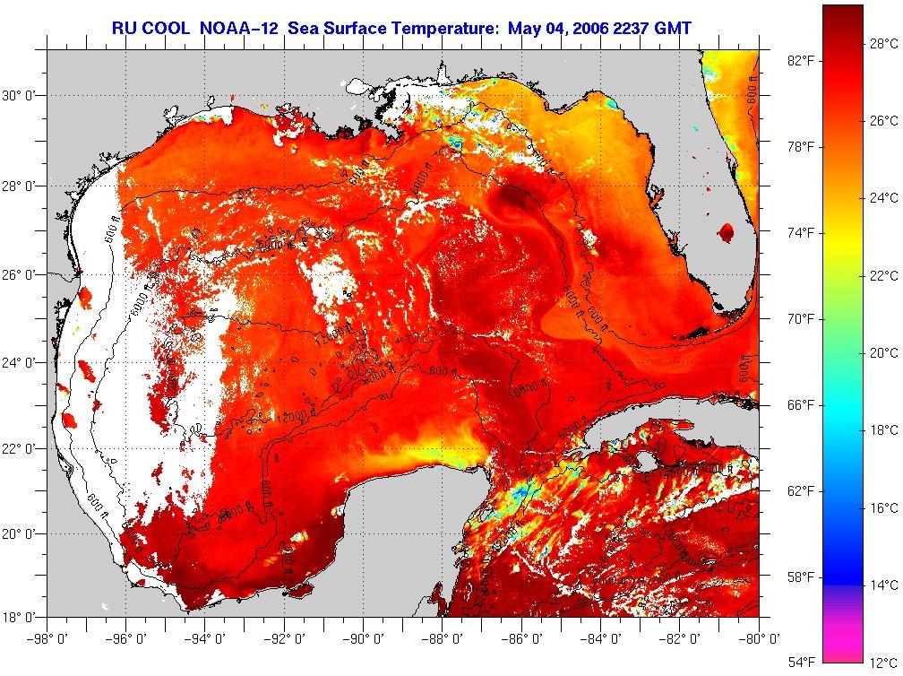
CURRENT SST IMAGE OF GULF OF MEXICO AND CARRIBEAN.

SST LOOP OF GULF OF MEXICO AND CARRIBEAN...
http://www7320.nrlssc.navy.mil/hhc/js/s ... movie.html
http://www7320.nrlssc.navy.mil/hhc/js/sst2.watl.jsmovie.html
(VERY IMPORTANT)THIS IS A LOOP OF HURRICANE HEAT POTENTIAL ACROSS THE ATLANTIC....
http://www7320.nrlssc.navy.mil/hhc/js/hh3.watl.jsmovie.html
CURRENT SST IMAGE OF GULF OF MEXICO AND CARRIBEAN.

SST LOOP OF GULF OF MEXICO AND CARRIBEAN...
http://www7320.nrlssc.navy.mil/hhc/js/s ... movie.html
0 likes
-
HurricaneHunter914
- Category 5
- Posts: 4439
- Age: 32
- Joined: Fri Mar 10, 2006 7:36 pm
- Location: College Station, TX
-
CHRISTY

-
SouthFloridawx

- S2K Supporter
- Posts: 8346
- Age: 47
- Joined: Tue Jul 26, 2005 1:16 am
- Location: Sarasota, FL
- Contact:

-
Tampa Bay Hurricane

- Category 5
- Posts: 5598
- Age: 38
- Joined: Fri Jul 22, 2005 7:54 pm
- Location: St. Petersburg, FL

-
Matt-hurricanewatcher
Who is online
Users browsing this forum: Google Adsense [Bot], hurricanes1234, Zonacane and 102 guests