Moderator: S2k Moderators


CapeVerdeWave wrote:Great! I want some more besides that, though.


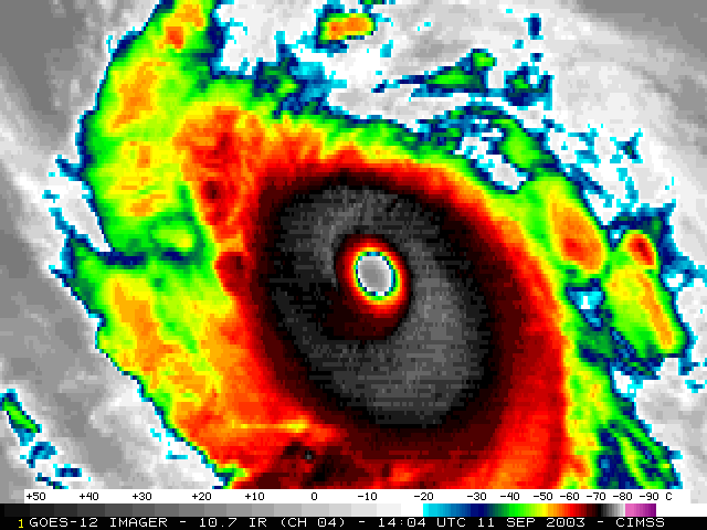
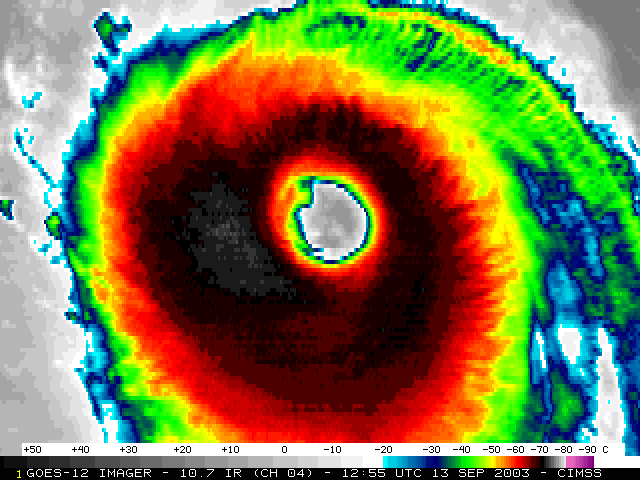
Hurricanehink wrote:Here's an interesting question. In terms of retired storms, what is the furthest back you can go without being able to find a satellite image? The furthest back I can't find is Fifi. Anyone have that? Before that is Hilda in 1964.


HurricaneBill wrote:Hurricanehink wrote:Here's an interesting question. In terms of retired storms, what is the furthest back you can go without being able to find a satellite image? The furthest back I can't find is Fifi. Anyone have that? Before that is Hilda in 1964.
My earliest radar pic: Hurricane Alice (January 1955)
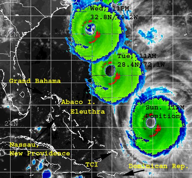
My earliest satellite pic: Hurricane Donna (1960)
Huckster wrote:Any way you could post either of those images? I have seen a satellite image of Hilda from 1964, but it was on microfilm at the library.
Users browsing this forum: No registered users and 63 guests