

Moderator: S2k Moderators


Hurricane Hunter 914 wrote:If thaT WAS IN THE CARIBBEAN that would have been stronger.
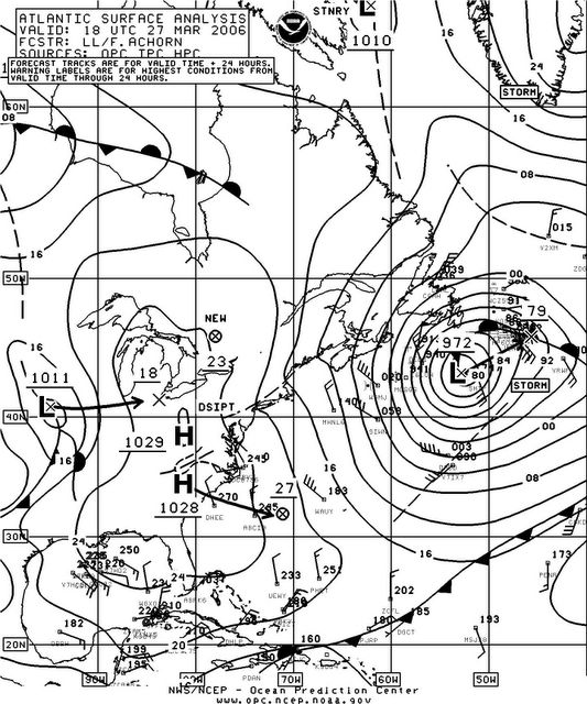
lets all just thank god it stayed off shore! A little further west and NYC and Boston would have been right in the path. Could you imagine all the rain/snow and wind (as well as coastal flooding) that would have occured!


Users browsing this forum: No registered users and 76 guests


