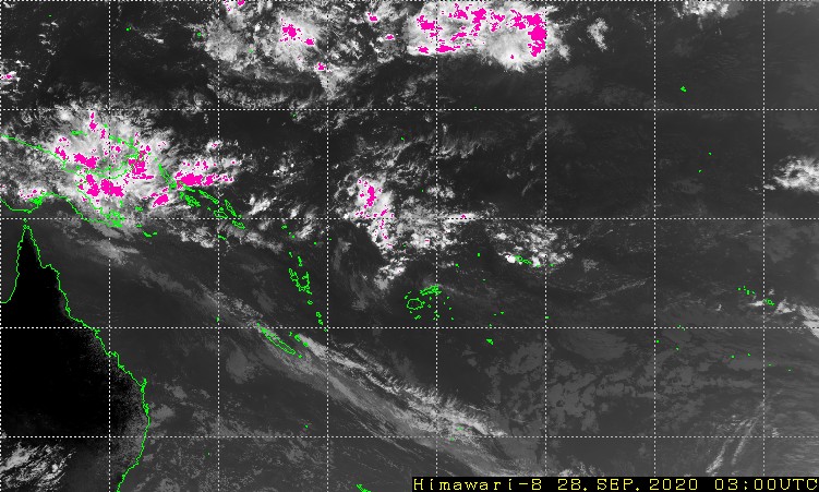
Tropical Disturbance Summary For area Equator to 25S, 160E to 120W
issued from RSMC NADI Dec 15/2316 UTC 2005 UTC.
TROPICAL DEPRESSION 03F [1006HPA] LOCATED NEAR 18.0S 162.0W AT
2100UTC SLOW MOVING. CLOCKWISE WINDS 20 TO 30 KNOTS WITHIN 180 MILES
OF CENTRE IN THE NORTHERN SEMICIRCLE AND 20 KNOTS WITHIN 100 MILES OF
CENTRE ELSEWHERE. LLCC DIFFICULT TO LOCATE AND BASED ON MTSAT IR/VIS.
SST ABOUT 30C.
03F REMAINS IN AN AREA OF DIFFLUENCE SOUTH OF A 250 HPA OUTFLOW.
CIMMS ALSO INDICATES A DECREASING TREND IN UPPER DIFFLUENCE AND AN
INCREASING TREND IN THE ENVIRONMENTAL SHEAR. DRY AIR IS ALSO
ADVANCING INTO THE CIRCULATION FROM THE SOUTHWEST. GLOBAL MODELS
[US/EC/GASP] MOVING THE SYSTEM IN A SOUTHEASTERLY DIRECTION INTO
INCREASING ENVIRONMENTAL SHEAR WITHOUT ANY SIGNIFICANT DEVELOPMENT.
POTENTIAL FOR 03F TO DEVELOP INTO A TROPICAL CYCLONE IN THE NEXT 24
HOURS IS LOW.
NO OTHER SIGNIFICANT TROPICAL DISTURBANCES ANALYSED OR FORECAST IN
THE AREA.
SW Pacific: TD 03F
Moderator: S2k Moderators
Forum rules
The posts in this forum are NOT official forecasts and should not be used as such. They are just the opinion of the poster and may or may not be backed by sound meteorological data. They are NOT endorsed by any professional institution or STORM2K. For official information, please refer to products from the National Hurricane Center and National Weather Service.
- P.K.
- Professional-Met

- Posts: 5149
- Joined: Thu Sep 23, 2004 5:57 pm
- Location: Watford, England
- Contact:
SW Pacific: TD 03F
0 likes
- senorpepr
- Military Met/Moderator

- Posts: 12542
- Age: 43
- Joined: Fri Aug 22, 2003 9:22 pm
- Location: Mackenbach, Germany
- Contact:
P.K. wrote:TD 3 seems to have been dropped already so it lasted about as long as TD 1.
They didn't drop 03F... they are doing an update every day it appears.
Tropical Disturbance Summary For area Equator to 25S, 160E to 120W
issued from RSMC NADI Dec 16/2252 UTC 2005 UTC.
T TROPICAL DEPRESSION 03F [1010HPA] LOCATED NEAR 22.0S 157.0W AT
162100 UTC SLOW MOVING. CLOCKWISE WINDS 20 TO 30 KNOTS WITHIN 180
MILES OF CENTRE IN THE NORTHEAST SEMICIRCLE AND 20 KNOTS WITHIN 100
MILES OF CENTRE ELSEWHERE. LLCC DIFFICULT TO LOCATE AND BASED ON
MTSAT IR/VIS. SST ABOUT 30C.
03F REMAINS IN AN AREA OF DIFFLUENCE SOUTH OF A 250 HPA OUTFLOW.
CIMMS ALSO INDICATES A DECREASING TREND IN UPPER DIFFLUENCE AND AN
INCREASING TREND IN THE ENVIRONMENTAL SHEAR. GLOBAL MODELS
[US/EC/GASP] MOVING THE SYSTEM IN A SOUTHEASTERLY DIRECTION INTO
INCREASING ENVIRONMENTAL SHEAR WITHOUT ANY SIGNIFICANT DEVELOPMENT.
POTENTIAL FOR 03F TO DEVELOP INTO A TROPICAL CYCLONE IN THE NEXT 24
HOURS IS LOW.
NO OTHER SIGNIFICANT TROPICAL DISTURBANCES ANALYSED OR FORECAST IN
THE AREA.
0 likes
Who is online
Users browsing this forum: No registered users and 96 guests


