
Robert
http://www.srh.noaa.gov/radar/loop/DS.p20-r/si.kevx.shtml
http://www.ssd.noaa.gov/PS/TROP/DATA/RT/float2-vis-loop.html
Moderator: S2k Moderators


Lot's of spinoff rain here this morning.cycloneye wrote:That exTammy low will be absorbed very soon by the front moving eastward.

rockyman wrote:For the moment, shear is fairly low and decreasing:
Air Force Met wrote:rockyman wrote:For the moment, shear is fairly low and decreasing:
The shear is low because that is the location of the upper level cold core low. Not much shear in the center of a cold core low. Not the best place to get tropical development either
The low that is there is part of the complex sfc low that was already in the GOMEX before Tammy.
skysummit wrote:I don't know....I watched that low on on radar come down from Alabama all evening yesterday and last night until it finally got into the gulf. I thought it was primarily Tammy's left overs.
rockyman wrote:Thanks! I missed that one! I'm getting the impression from the NWS discos that this front might "wash out" and not push through and "clean out" the area....AFM, do you think the front is going to clear us out and get rid of all of this depressing weather here on the Alabama coast?
Air Force Met wrote:skysummit wrote:I don't know....I watched that low on on radar come down from Alabama all evening yesterday and last night until it finally got into the gulf. I thought it was primarily Tammy's left overs.
That was the mid-level circulation. I watched it too. The low level circulation in the GoM was already there. Go back and look at the sfc 24 hours ago and you will see the low was already present in the eastern GoM.
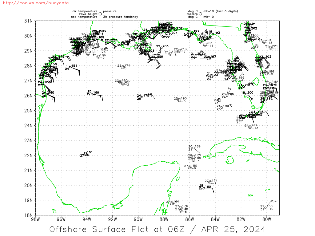
http://coolwx.com/buoydata/data/t-24/gulf.png
Users browsing this forum: jconsor and 147 guests


