Derek Ortt wrote:those surge heights really only apply to the south Florida area, not the rest of the coast
then why do they use it for the rest of the coast just another example of how flawed the SS scale really is
Moderator: S2k Moderators


HurricaneBill wrote:f5 wrote:Katrina's storm surge looks like a CAT 5 went threw there entire TOWNS were flattened such as waveland,pass christian ect
That's why I'd classify Katrina as a Category 5 based on storm surge and pressure.
I know, I know. It's determined by sustained wind and sustained wind only. But let's be honest here, there is a HECK of a lot more to a hurricane than sustained winds.
If the pressure and storm surge far exceed the level of sustained winds, I see nothing wrong with bending the SS scale rules a bit.
Derek Ortt wrote:the SS scale descriptions are also wrong. Beaumont, which went through a very strong tropical storm or at worst a very marginal cat 1 hurricane, had damage consistent with a borderline cat 2/3, while Cameron was obliterated, where real cat 3 conditions occurred.
I think the reason why the SS was wrong is that back then, they did not have the doppler data available to show that in most cases, definately not Katrinas, the region of maximum winds is very, very small and most areas do not experience them, but about 2-3 categories less

jschlitz wrote:Innotech wrote: Pine would be the first to go.
Not necessarily; it is often opined that pines go first because they are not a hardwood tree. Actually pines are very flexible up to a point, and they have a deep root system. We have mostly pine trees here, yet there are many more oaks trees down than pines in this area of after Rita.
For the most part, the pine trees "held up" rather well. It's the oaks, especially water oaks, that took it badly.
tallywx wrote:Adding to my comment about the Saffir-Simpson scale...it was not based on rigorous tests in control laboratories. It was based on damage observations after storms considered to be of a certain strength. Example: Hurricane Zulu hits Mobile, AL. 1950s aircraft recon., using flight level wind measurements and assuming NO REDUCTION FROM FLIGHT LEVEL TO SURFACE, says Zulu hit with 115 mph winds. Furthermore, it is then assumed that all areas within the direct path of Zulu received 115 mph, rather than say in isolated spots (and SFMR is currently showing that max. sustained winds of a storm are not as pervasively widespread as previously thought). All of a sudden, we've designed a scale that overestimates windspeed on a dual level, by a) having the hurricane overrepresented in its overall intensity because we didn't know that flight level reduction of speeds were required, and b) overestimating the aerial extent of the absolute max. winds of a hurricane. In other words, a certain point in Mobile with a certain level of damage used to base the Saffir Simpson scale as correlated with 115 mph winds may have in fact only received 100 mph. In that case, the scale was miscalibrated.
New evidence in recent years is demonstrating this quite clearly.
So instead of not accepting new rock-solid data because of preconceptions based solely on historical antiquities rather than cold hard science, we should instead overhaul our perception of what a 100 mph wind looks like, or what a 100 mph wind can do.


docjoe wrote:jschlitz wrote:Innotech wrote: Pine would be the first to go.
Not necessarily; it is often opined that pines go first because they are not a hardwood tree. Actually pines are very flexible up to a point, and they have a deep root system. We have mostly pine trees here, yet there are many more oaks trees down than pines in this area of after Rita.
For the most part, the pine trees "held up" rather well. It's the oaks, especially water oaks, that took it badly.
I live about 10-11 miles from the GOM as the crow flies so I got quite a hit from both Ivan and Dennis. While they both leveled trees of all types all over the place I did notice that during Ivan most of my downed trees were pines and cedars with very few oaks. During Dennis I lost primarily oaks and hardwoods with much less damage to the pines and cedars. For my area Ivan was an extended period of hours of probably high Cat 1 to low Cat2 winds with higher gusts while Dennis brought a short period (probably an hour at most) of high cat 2 to low cat 3 . I wonder what role this plays in the type of tree damage. Of course the fact that alot of trees were weakened during Ivan played a role during Dennis.
docjoe
jrod wrote:Well if a panel of experts say this was 'only' a cat 3 at landfall, I can not fathom what a cat 5 will bring.
I do think that quite a few storms, none of the bringing mass destruction, have been over estimated. And I do believe that extreme surge can follow a weakening storm, this was the case for Isabel in '03. The winds at landfall did not support a huge surge even, yet she carved some inlets through the Outer Banks.
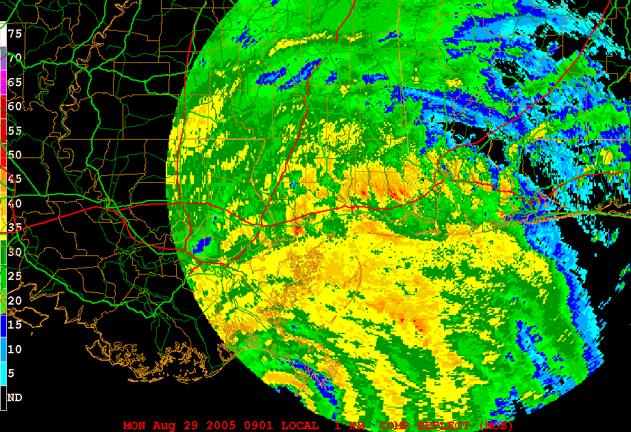
MGC wrote:Check out this radar loop of Katrina making landfall. It was taken from the Mobile radar. Granted, the radar beam was viewing a high level in the storm. Notice the burst of deep convection in the northern and eastern eyewall just as Katrina makes landfall in Mississippi.
http://www.atmo.arizona.edu/products/radar/kat_mob_rad.gif
This convective burst likely produced winds well in excess of 100KTS. If any of you doubt it take a ride over to Diamondhead and check out the wind damage.......MGC


Derek Ortt wrote:in a true cat 5, like Andrew, the wind itself can obliterate anything. Homestead was totally leveled nearly to the extent of the Mississippi Coast due to the wind. In a true strong 4, like Charley, a very similar fate befalls the ladfall zone. Remember, that is a prolonged strong F2 or F3 tornado. IN Katrina, what we had according to the H-Wind analysis is a prolonged F-1 tornado, still VERY devastating on its own, just not quite as devastating as an Andew, Charley, or Iniki from a wind standpoint
Users browsing this forum: No registered users and 34 guests


