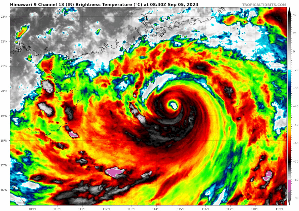
12W YAGI 240905 0000 19.1N 115.8E WPAC 130 922
JTWC agrees
Moderator: S2k Moderators


Hayabusa wrote:A 04/22Z SMAP pass gives 119 kt 10 min wind which translates to one minute 128 kt windsWP, 12, 202409042209, 30, SMAP, IR, , 1910N, 11580E, , 1, 119, 1, , , , 34, NEQ, 0, 130, 0, 0, , , , , 1, 0, , W, NASA, RSS, , , , , , , , , , , , , , , , , , , , , , , , , , , , 1, max. wind is 10 minute sustained
WP, 12, 202409042209, 30, SMAP, IR, , 1910N, 11580E, , 1, 119, 1, , , , 50, NEQ, 71, 75, 0, 0, , , , , 1, 0, , W, NASA, RSS, , , , , , , , , , , , , , , , , , , , , , , , , , , , 1, max. wind is 10 minute sustained
WP, 12, 202409042209, 30, SMAP, IR, , 1910N, 11580E, , 1, 119, 1, , , , 64, NEQ, 49, 57, 0, 0, , , , , 1, 0, , W, NASA, RSS, , , , , , , , , , , , , , , , , , , , , , , , , , , , 1, max. wind is 10 minute sustained


Users browsing this forum: No registered users and 66 guests


