
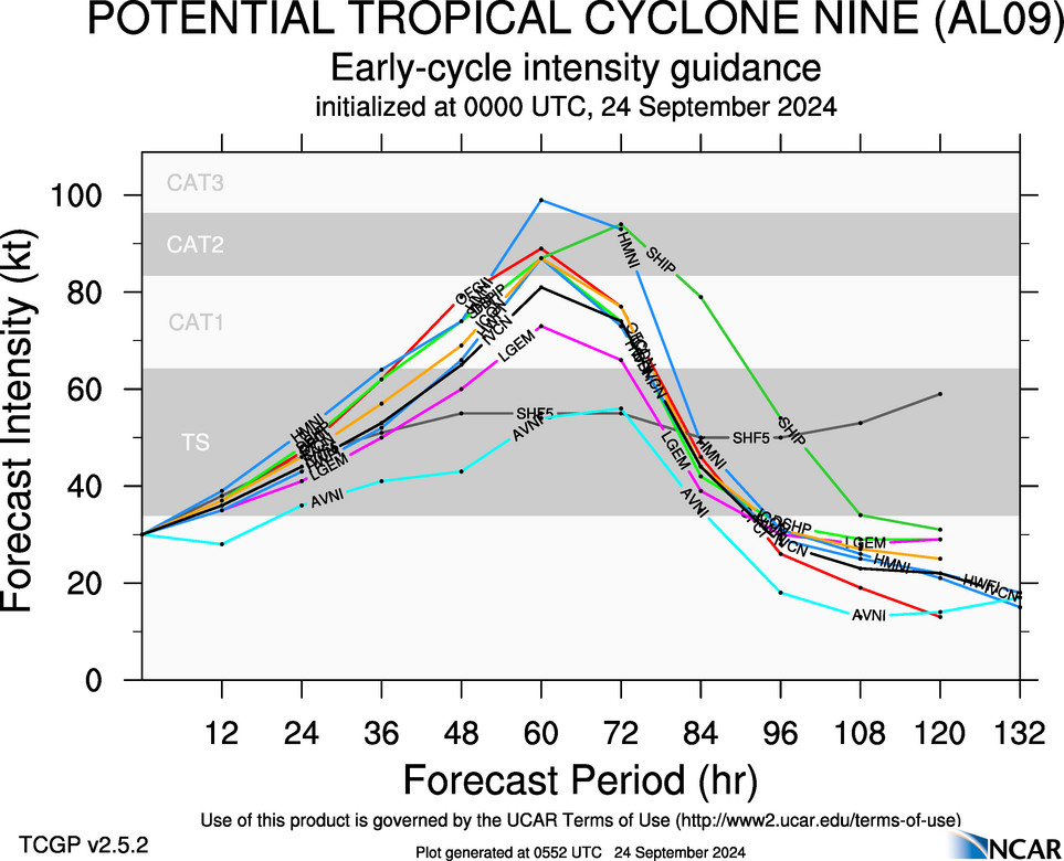
Hypercane_Kyle wrote:18z HWRF has a massive shift in timing; went from landfall at 15z on Thursday to not even at Tampa's latitude.
This entire 18z suite just seems off regarding data ingestion. 00z we'll see if things start to change a bit.
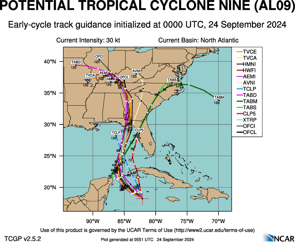
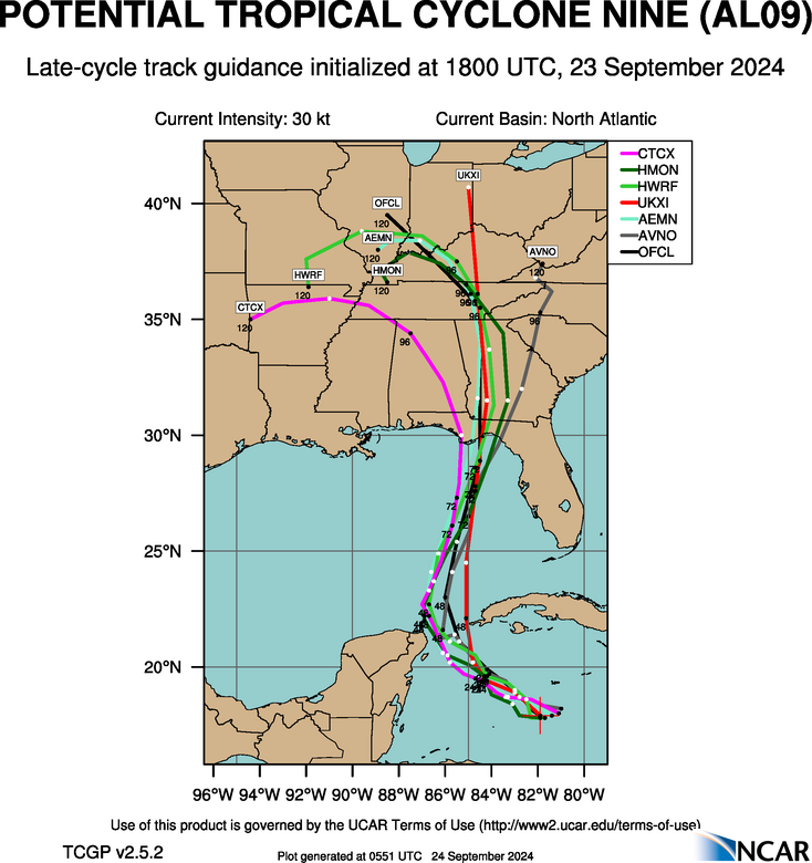
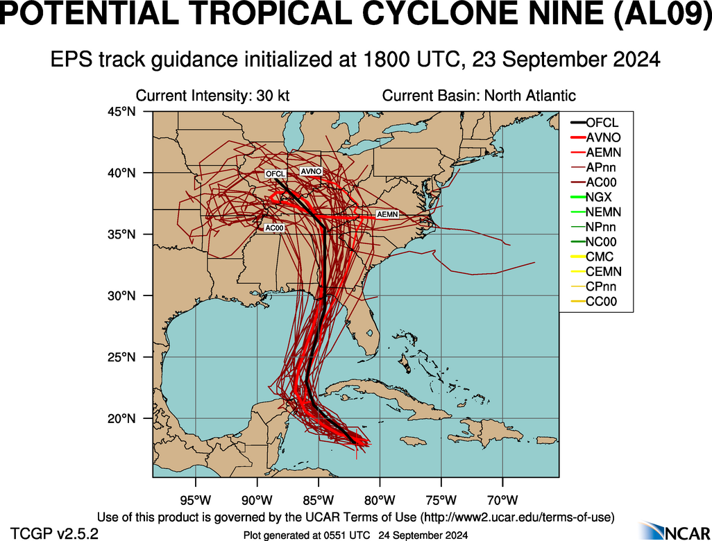
It seems like the operational models want to go east and the Hurricane ones west. Not sure which ones are more accurate. 72 hours out and still a lot of uncertainty.


