

Ivanhater wrote:Code Red
MIATWOAT ALL
TTAA00 KNHC DDHHMM
Tropical Weather Outlook
NWS National Hurricane Center Miami FL
800 PM EDT Fri Jul 21 2023
For the North Atlantic...Caribbean Sea and the Gulf of Mexico:
Active Systems:
The National Hurricane Center is issuing advisories on Tropical
Storm Don, located over the central Atlantic.
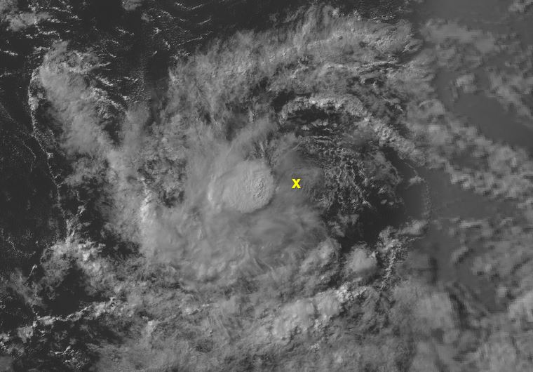
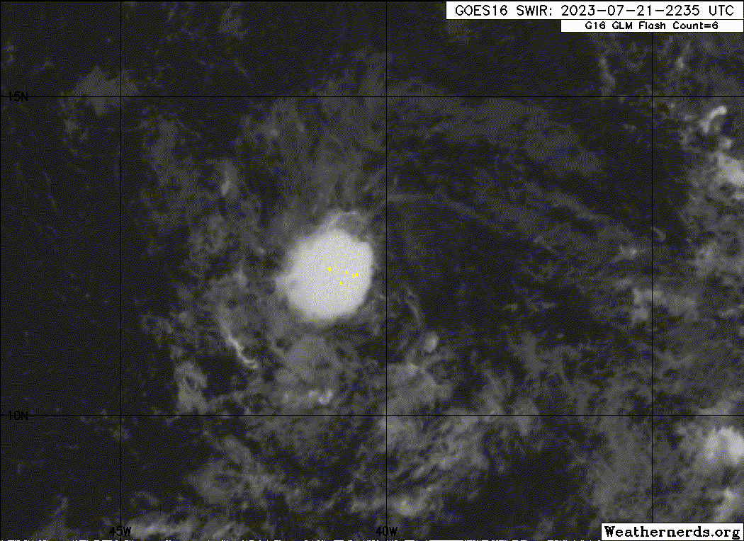
1. Central Tropical Atlantic (AL95):
A small area of low pressure located roughly midway between the Cabo
Verde Islands and the Lesser Antilles continues to produce
disorganized showers and thunderstorms. Although environmental
conditions are only marginally conducive, slow development is
expected and this system will likely become a tropical depression
early next week while it moves westward across the tropical
Atlantic.
* Formation chance through 48 hours...medium...50 percent.
* Formation chance through 7 days...high...70 percent.
Forecaster Cangialosi/Roberts
https://uploads.tapatalk-cdn.com/20230721/9cfb2c282d48b4e3e010d809072b8e00.jpg

Idk how they could possibly call this convection "disorganized."


