

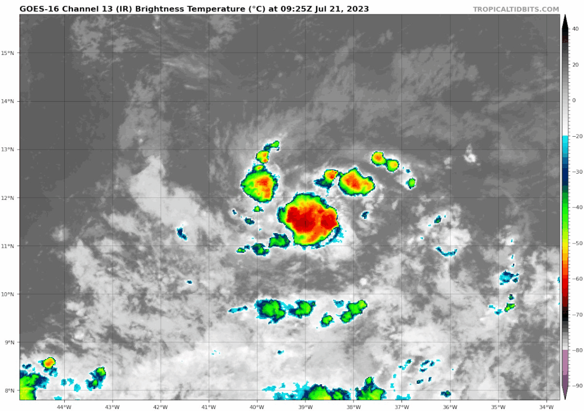
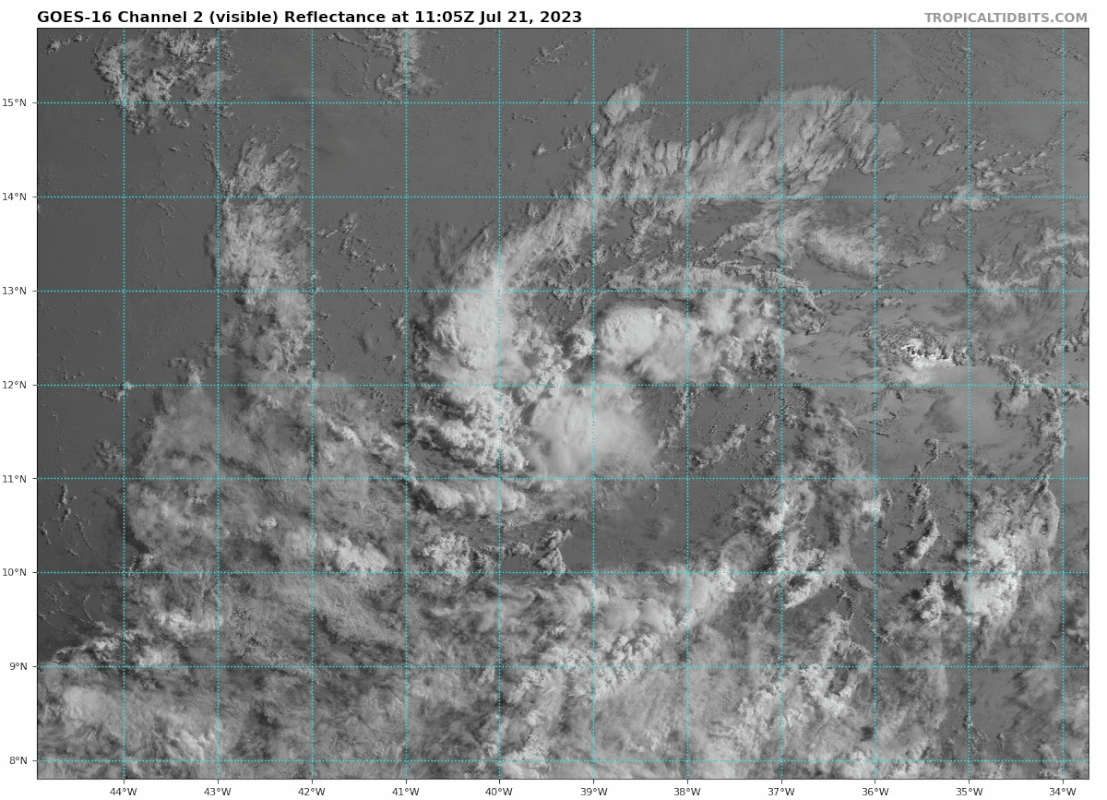
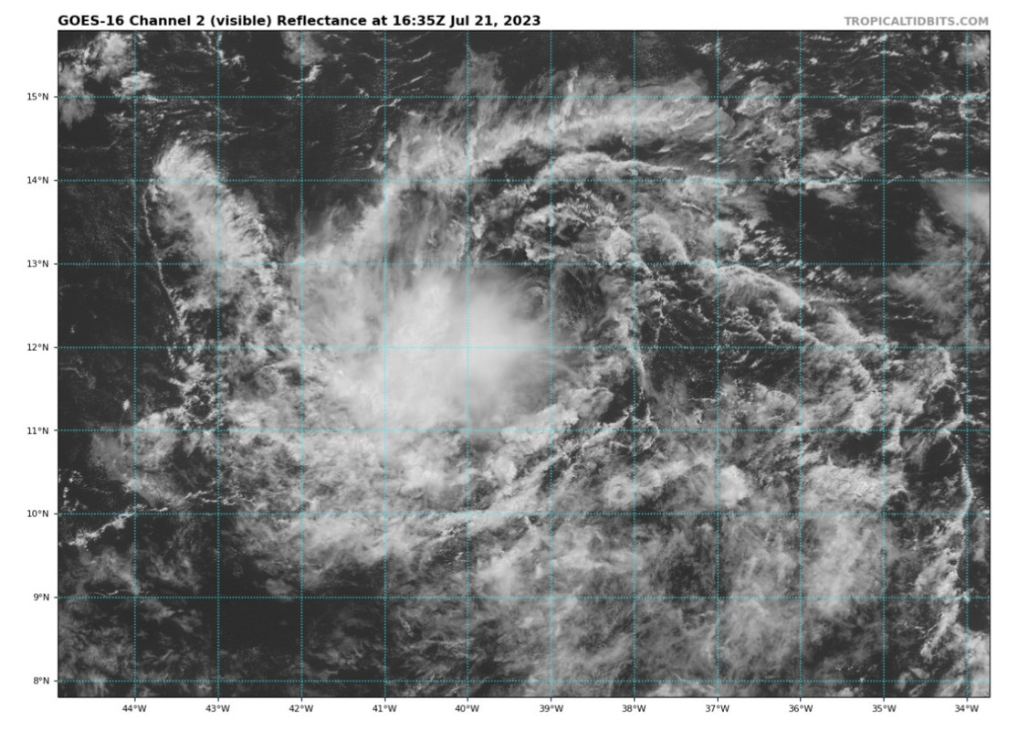
wxman57 wrote:It doesn't appear to have much of a future. Wind shear will increase as it nears or enters the Caribbean. Will probably move into Central America in a week as a wave. Might be classified as a depression at some point east of the Caribbean.
I'd be interested in hearing why you think this. Environment looks favorable over the next 3–days or so other than the possibility of dry air intrusions. SSTs are warm (much warmer than normal) and shear looks relatively weak over this period. Considering recent convective trends, I'd argue global models aren't resolving this compact structure well. If convection can persist throughout today, I like this system's chances for genesis. It's a big "if" for now.


