AL, 94, 2023101218, , BEST, 0, 92N, 242W, 25, 1010, LO

Moderator: S2k Moderators


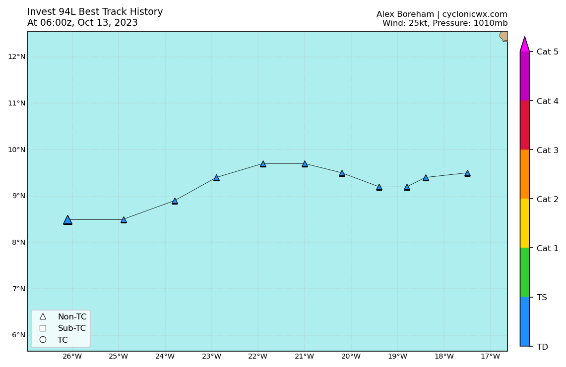
cycloneye wrote:Keeps dipping.AL, 94, 2023101300, , BEST, 0, 83N, 247W, 25, 1010, LO
https://i.imgur.com/UHkFpgO.png

ThunderForce wrote:The fact we have yet another possible MDR developing storm in October during a strong El Nino is abnormal. Very abnormal.
Hoping this thing either doesn't develop at all, or develops quickly enough that it'll recurve before making landfall anywhere.


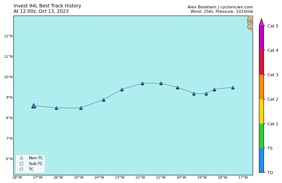
abajan wrote:AL, 94, 2023101312, , BEST, 0, 86N, 272W, 25, 1010, LO


Users browsing this forum: No registered users and 35 guests