SFLcane wrote:FYI GEFS Ensemble mean is near boynton beach.
12z?
Moderator: S2k Moderators

SFLcane wrote:FYI GEFS Ensemble mean is near boynton beach.


AutoPenalti wrote:SFLcane wrote:FYI GEFS Ensemble mean is near boynton beach.
12z?
Some members into Broward, too early to tell if the earlier north runs are bogus.SFLcane wrote:FYI GEFS Ensemble mean is near boynton beach.
jlauderdal wrote:Its one model run in a very unstable modeling environment, will have to see a solid trend which we dont have. We had south and west trend yesterday which evaporated today and of course has increased anxiety, even at NHC.MetroMike wrote:Interesting to note the 12z GFS keeps it a hurricane across the state, something my local station are not publically saying. How can this track stay so south when official track stays North?
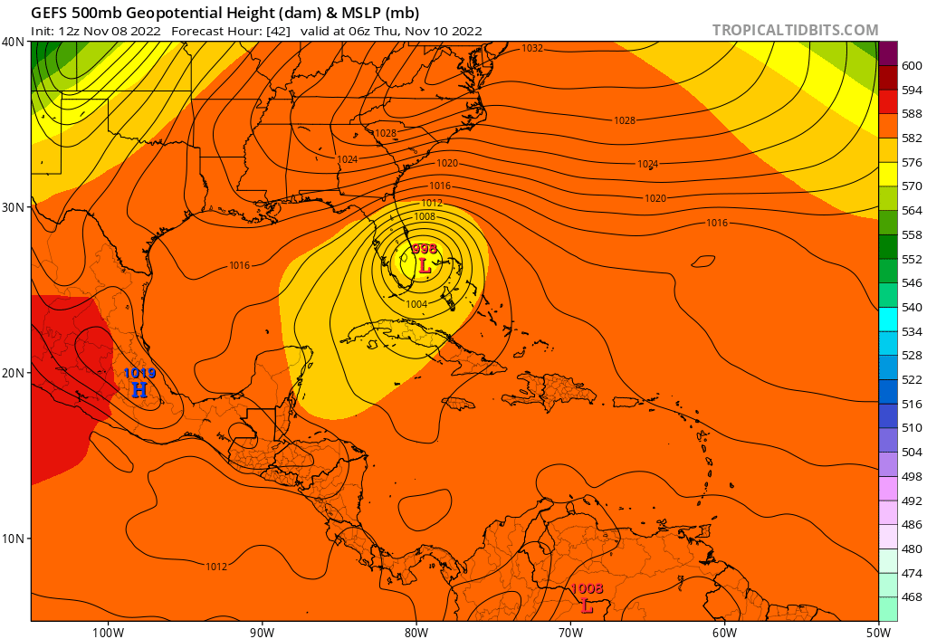
LarryWx wrote:Summary of 12Z major operational models so far:
- 12Z GFS and ICON are both between WPB and Stuart.
- 12Z CMC is near Ft. Pierce.
- 12Z UKMET is in general vicinity of Vero Beach per interpolation of 12 hour interval maps. That will be refined later.
MetroMike wrote:LarryWx wrote:Summary of 12Z major operational models so far:
- 12Z GFS and ICON are both between WPB and Stuart.
- 12Z CMC is near Ft. Pierce.
- 12Z UKMET is in general vicinity of Vero Beach per interpolation of 12 hour interval maps. That will be refined later.
12Z NAM is further south than the 6Z cannot tell the city on Pivotal Weather site.
aspen wrote:12z HWRF is MUCH stronger and slower. Initialization is in the upper 980s, and by 00z Thursday it’s 967mb but still over the Bahamas and probably 12 hours from landfall.

HWRF and track , i will take a hard passLarryWx wrote:aspen wrote:12z HWRF is MUCH stronger and slower. Initialization is in the upper 980s, and by 00z Thursday it’s 967mb but still over the Bahamas and probably 12 hours from landfall.
On Tidbits, 12Z HMON at hour 39 is SE of hour 36. Is that posssible? Then it landfalls Canaveral, which is 40 miles south of 6Z.
12Z HWRF breaks the trend and is a little north of its 6Z. It landfalls at Cape Canaveral.


Users browsing this forum: No registered users and 17 guests


