#76 Postby chaser1 » Fri Sep 11, 2020 10:26 am
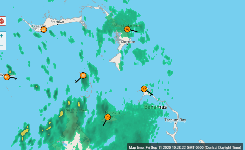
The only inhibiting condition affecting 96L from developing into a T.D. within the next 24 hours would appear to be..... itself. NDG did a nice job of pointing out potential points of low and mid level development and the bottom line is that overall conditions appear quite favorable; just not "magical". There is no CDO however upper level conditions already seem ripe for development at this time. While there is no model support, Frank did point out the 6Z NAM forecasting a sub 1000mb low west of Key West over the weekend. While the 12Z NAM has since backed off, it still significantly deepens 96L tonight as it moves over extreme S. Florida or Florida Keys. If 96L already had a better defined MLC, I'd be betting on LLC development by late this evening. As good as this system is appearing on Satellite this morning, I just don't think that a low/mid level structure will develop rapidly enough for a T.D. to form prior to reaching extreme S. Florida or the Keys but it could be close. It's broad appearance might truly be the only inhibiting factor there. Bottom line, land interaction just doesn't appear to be much of a factor in the overall scheme of things and a COC could very well begin to develop in spite of any interaction with extreme S. Florida. I could well see Miami-Dade, Broward and Keys getting a dumping of 4-6" of rain over the next couple days. Given over all conditions along with being right at the prime point of an overly proficient hurricane season, i'd frankly be surprised if this were not develop into a tropical storm somewhere in the Central or Northern Gulf. I could easily see a high end T.S. coming out of this.
3 likes
Andy D
(For official information, please refer to the NHC and NWS products.)


